


Recently, we’ve released a series of theoretical tips on coordinate systems:
- Сoordinate systems: ellipsoid and geoid
- Coordinate systems: datums
- Coordinate systems: projections
- Projections: Universal transverse Mercator and Gauss-Krüger
- Coordinate systems: transformation grids
- Coordinate systems: custom CSs and localization
Today, let’s discuss something practical. In this tip, we’ll explain how to edit a coordinate system (CS) in your survey project and how to edit your custom CS parameters in the Emlid Flow 360 app.
Editing CS
Say you have some project data in one CS, but need it in another CS. With Emlid Flow 360, you can easily convert the given CS to the one you need. Simply upload your project to Emlid Flow 360 in the CS they are in and edit the coordinate system setup.
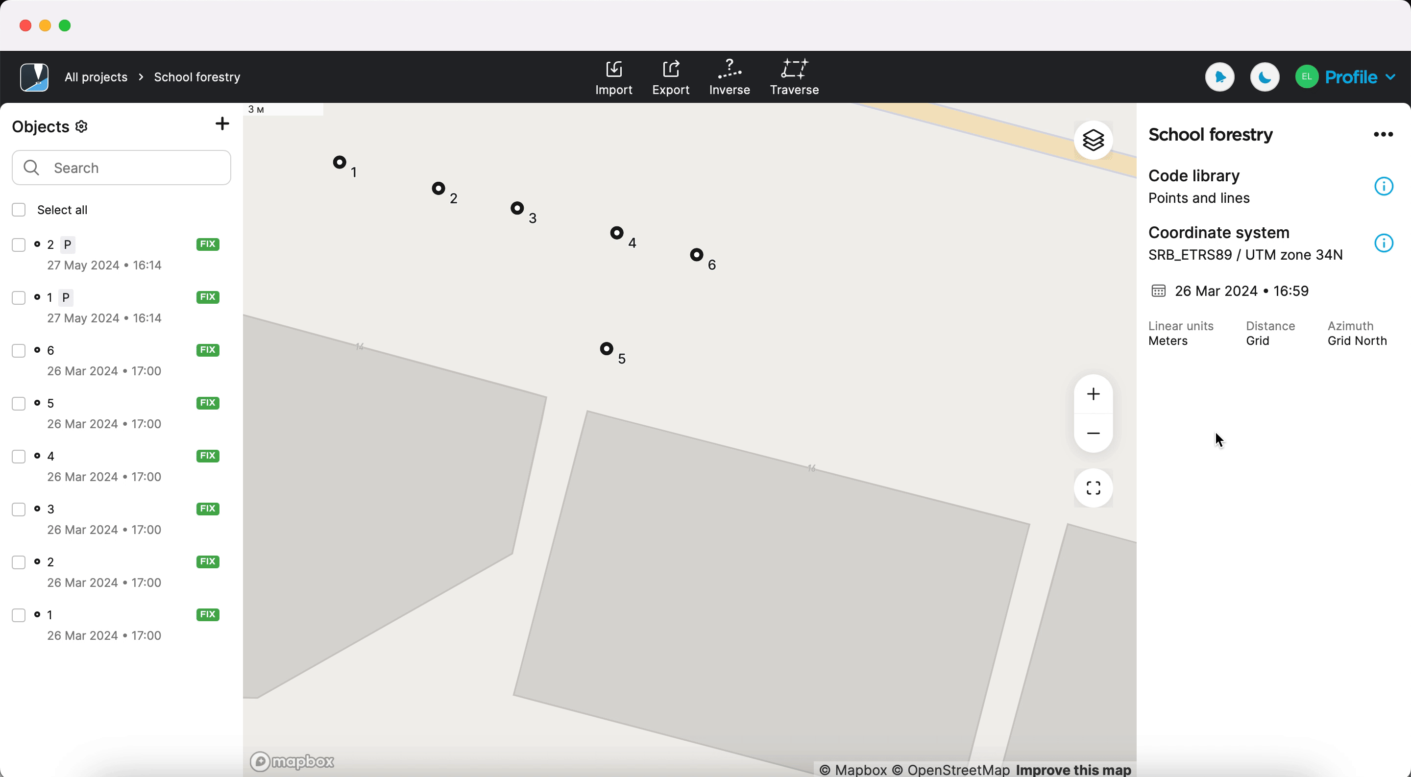
When you change the CS of your project, the software recalculates all the points, and the future points will be measured in the new CS.
Voila, your project is now in a new CS, and you can continue working with it. Check out the steps on changing the CS for your project in our Docs.
Editing custom CS
You can also edit the parameters of your project’s custom CS in Emlid Flow 360. However, this option is not available for localized systems.
The steps are almost the same: simply select the custom CS you used in your project, and click Duplicate and edit to fix the parameters. Duplicating your custom CS allows you to quickly edit parameters without entering them twice.
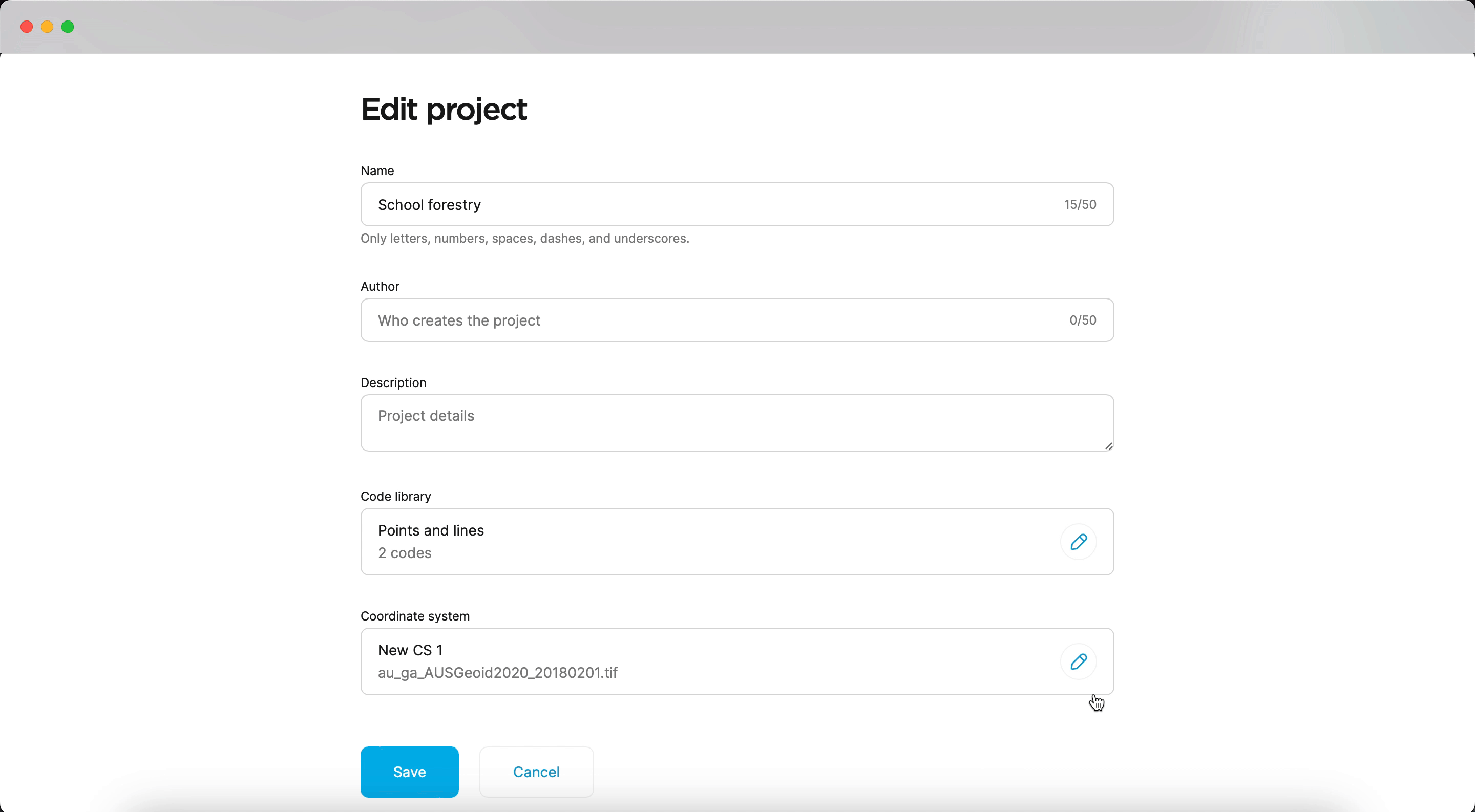
The edited custom CS will also be saved in your list of coordinate systems in the Profile tab.
If you have any questions or need help setting up or editing your project’s coordinate system, comment below or contact us at support@emlid.com.