


In the previous tip, we started talking about coordinate systems (CS), the problems of measuring the shape of the Earth, and the mathematical figures that are used to describe it—an ellipsoid and a geoid. However, we need something to help us attach all these rather abstract models to reality—to define the spatial relationship of these models to the Earth. In this tip, we will look at a geodetic datum that can help with that.
Datum
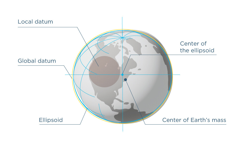
What is a geodetic datum? It is a set of data: an ellipsoid with 3-D Cartesian axes used to attach it to the real physical world.

But there’s another question. How can a surveyor access the datum if it’s something ethereal? There are so-called physical benchmarks or permanent survey marks with precisely known coordinates calculated based on the required datum. Benchmarks allow you to access coordinate systems and obtain accurate and consistent data, in other words, to perform a datum realization.
Horizontal and vertical datums
In fact, there are horizontal and vertical datums, and the reason for having two of them is convenience.
The horizontal datum is usually based on an ellipsoid. Unlike a geoid, it is regularly shaped and can be easily projected onto the surface using a simple formula. Projection is usually an essential part and the next step after applying a datum, but we’ll tell you more about that in our next tip.
The vertical datum can be based on either an ellipsoid or a geoid, but the most convenient form is a geoid. It’s simple. With a geoid, it’s much easier to get a notion of height. It’s based on mean sea level, and that way you get a zero level—it’s clear what’s above water and what’s under.
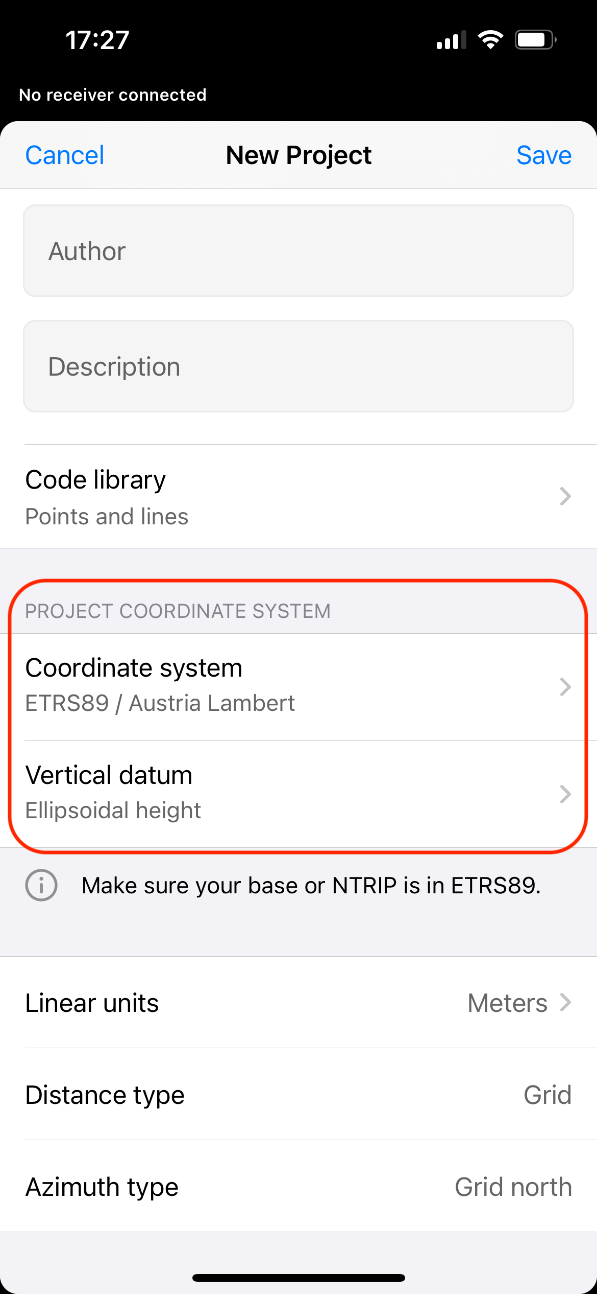
Therefore, when you set up a coordinate system in the Emlid Flow app, you have the following settings—Coordinate system, which includes a horizontal datum and its projection, and Vertical datum.
Global and local datums
Remember talking about global and local ellipsoids in the previous Support tip? The same applies to datums.
The Earth’s surface doesn’t stay the same due to natural processes such as the movement of lithospheric plates, earthquakes, and so on. The benchmarks move over time, and using a universal global datum becomes problematic. This is why there are local datums that are designed and optimized for specific areas. For example, one such horizontal datum is the North American Datum 1983 (NAD 83), which fits the shape of the Earth specifically in North America. Note that there may be several datums available for an ellipsoid.
In the next tip, as we’ve already mentioned, we will talk about the next coordinate system component—projection.
If you have questions or would like to learn more about the specified components or some other related notions, let us know in the comments below or contact us at support@emlid.com.