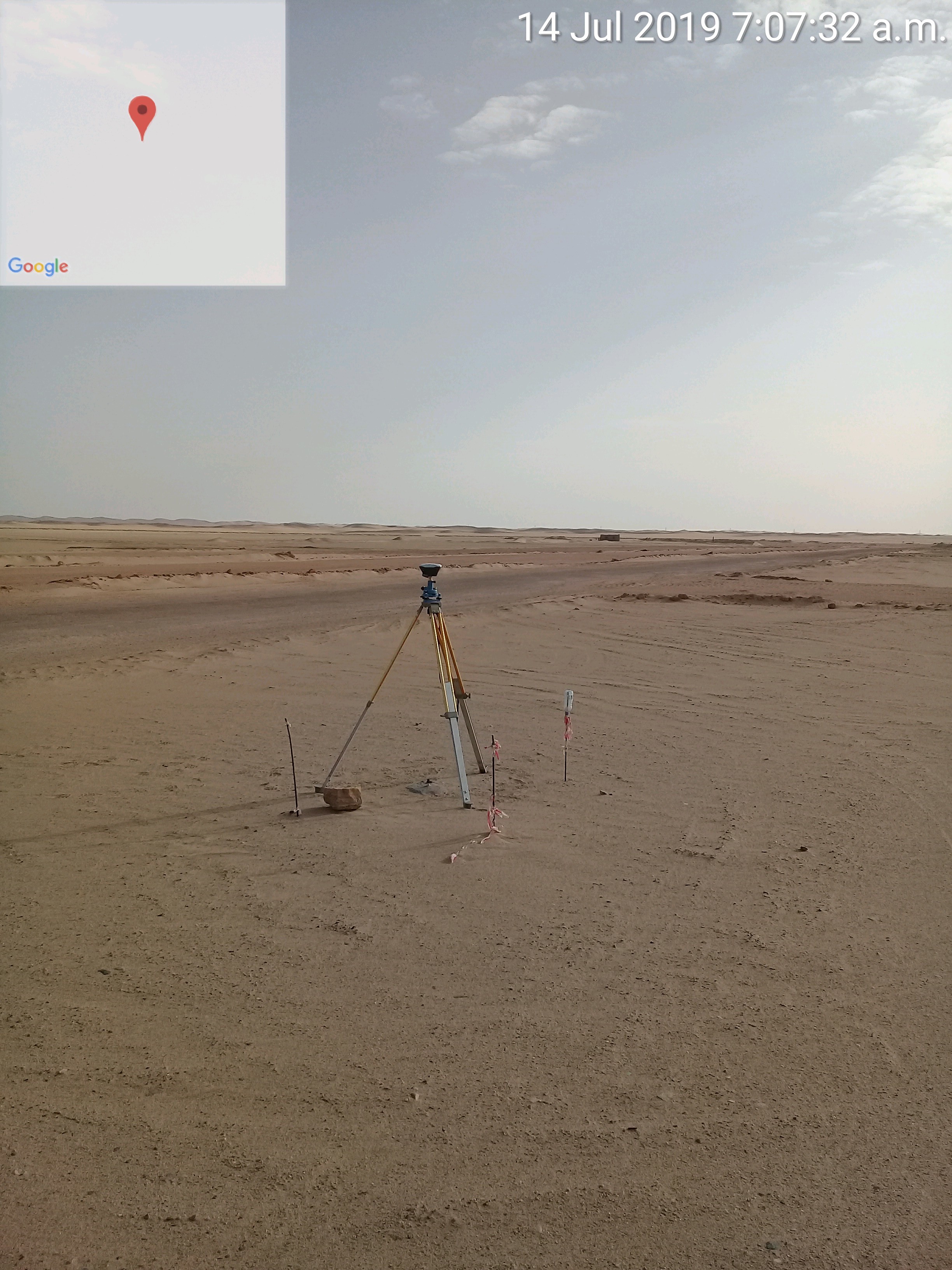
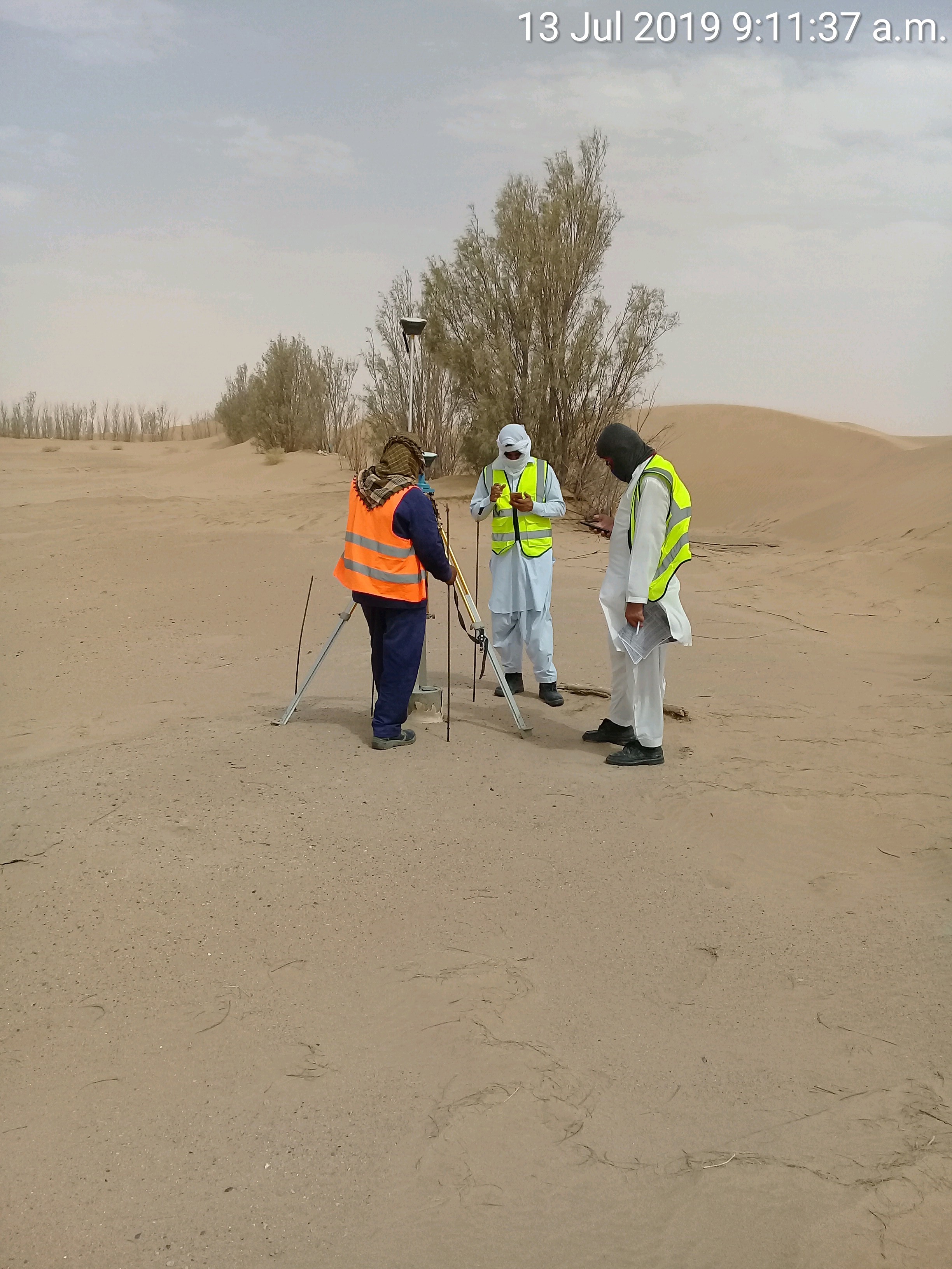
We have a flood protection project here in KSA I have two RS+ base and rove and We have our Bench Marks so I inserted coordinates and elevation manually in my base and checked against measured previous points done by Sokkia receiver We found fixed error equal 2 meters Higher !!! but the coordinates is the same one . The pole height in my rover is 2m, So We changed it to zero, 1, 4 meters and the error still fixed? When rising or lowering the rover the height is changing.
I appreciate any help to solve this problem.! Our BM’s coordinates in UTM I converted to LLH By Mobile Topographer Pro. I’m using ver 2.18.1
Hopefully Emlid will jump in here soon for you when they can.
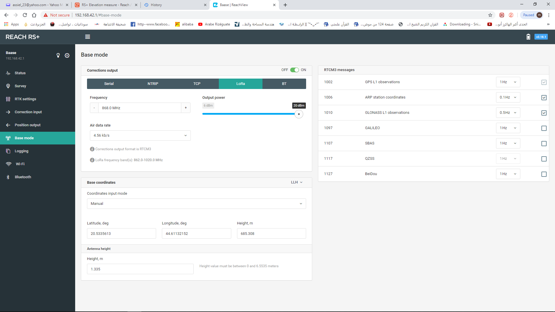
Did you set your BASE (that is on the tripod) over the KNOWN BENCHMARK? And when doing so, enter your KNOWN COORDINATES and the KNOWN ELLIPSOID height? AND enter the ANTENNA HEIGHT which would be the measurement from POINT ON THE GROUND to the BOTTOM of RS+ PLUS 65mm? This may be where the confusion is?
As for the ROVER, make sure your POLE height etc settings are correct.
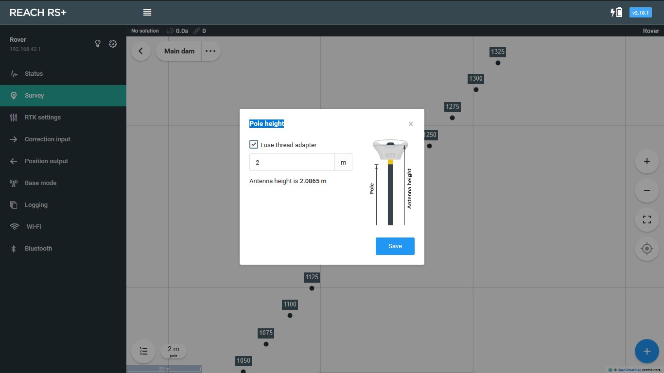
Obviously the 2m pole height is the common offset of the problem. Are you sure the prior measured points are correct also?
You may need to provide your KNOWN POINT COORDINATES and ELLIPSOID HEIGHT of the BENCHMARK. I’d provide the UTM and LLH.
Provide the ANTENNA HEIGHT of your BASE from ground point to bottom of RS+ PLUS 65mm.
When looking at the Status Page, the height displayed is the rover’s antenna height. The pole height is not considered here at all.
When looking at a collected point in a Survey Project, the height is the point height. (The pole height has already been subtracted)
If you are using ‘mock location’ or outputting NMEA to another device, the height will be antenna height (the same as displayed on the ReachView Status page). So you will have to enter your pole height into that other app or device. If that is not possible, then you will have to keep notes on the pole height and subtract later.
Someone just mentioned to me that GALILEO is currently having trouble and is not to be used until further notice. (It is not an Emlid thing, it is GALILEO itself)
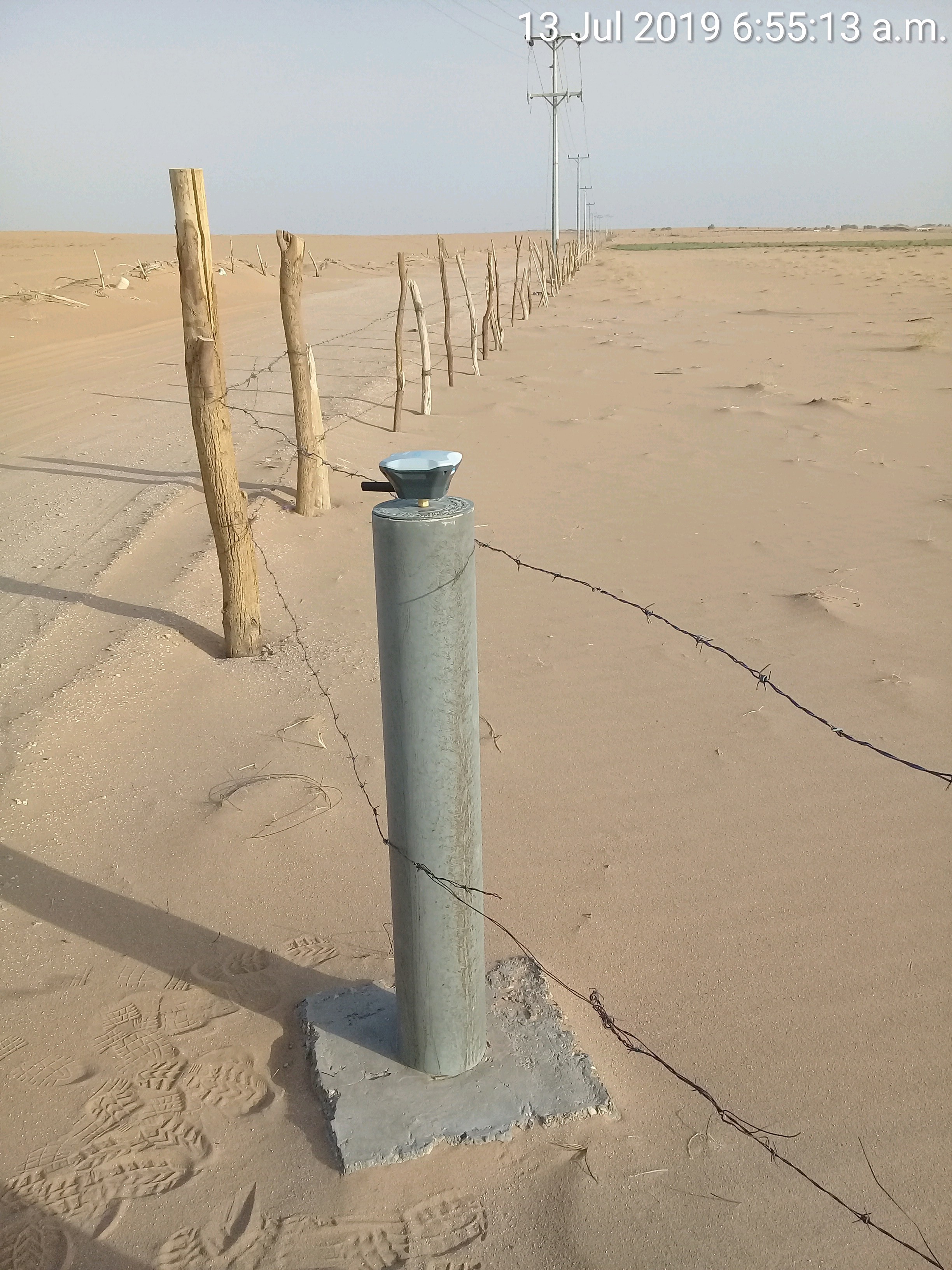
I am not familiar with that concrete trig point, as here in USA, so I assume it is like our benchmark monuments embedded in the ground surface with known coordinates and elevation tied to it?
How is the elevation measured on those trig marks? I assume by mounting the RS (BASE) with 5/8 adapter onto it? So you would enter the known coordinates and elevation of the trig point on record, then enter this into Base Mode manually, then enter antenna height… is the antenna height then from bottom of 5/8 threaded adapter (top of concrete trig point) to bottom of RS plus 65mm to ARP?
Seems if this concrete trig point is an actual known point (benchmark), then as @wizprod is stating, to measure this properly with the RS and also the Sokkia. Then if you can relocate the BASE relative to known point and test with ROVER with 2m rover pole height?
Curious, did you happen to let the BASE AVERAGE SINGLE over a point then do the following (from DOCS):
Save averaged position to manual After you have successfully obtained averaged position you might want to save it for future use. Click on the “save coordinates” icon and position will be saved as if it was entered in manual mode. Now every time Reach starts it will broadcast this position in correction messages.
If so, you would use 0 for antenna height since the actual height measured is from the ARP relative to the ellipsoid height.
But i think you mentioned you had tried 0, and still 2m off. Wonder if the Sokkia is off?