It would great if ReachView 3.0 will have the following features:
UTM coordinate system support
Create a point/vertex from manual coordinates
Create a new point/vertex from existing two points (that will provide direction) and a distance from tape measurement. This is very useful for collecting point/vertex that can’t provide Fix solution such as under trees or near buildings.
Create line features and calculate their lengths
Create polygon features and calculate their perimeters and areas
Create attribute template and collect these attributes (for example importing from shapefiles with columns). This is very useful for collecting GIS data.
Store list of NTRIP settings (for Base and Rover) that can be easily recall.
Store list of LoRa settings (for Base and Rover) which is useful when surveying in different environments.
automatic ftp upload if connected to a certain network
store imu data log (within zip file)
calibrate IMU
Maybe also a simple scripting interface to generate csv data from the different sensors?
Emlid could also offer an external IMU integrated in its pricy hot shoe… .
I guess the list is long.
Would be very nice if the support of the original Reach isn’t droped before all promised features are implemented… .
Hi,
Here is few wishes also. They are more like user interface improvements.
In the survey screen the Collect button should be in the upper part of the screen. When collecting points all day (with a phone), my thump is crying in the evening. Natural place for the button would be in upper part of the screen and about in the middle.
Also the input text field for point name should be in the upper part so the virtual keyboard won’t cover it.
Font sizes could be bigger in the survey screen. In the field it is good to have clear views (and no need to buy eye glasses yet )
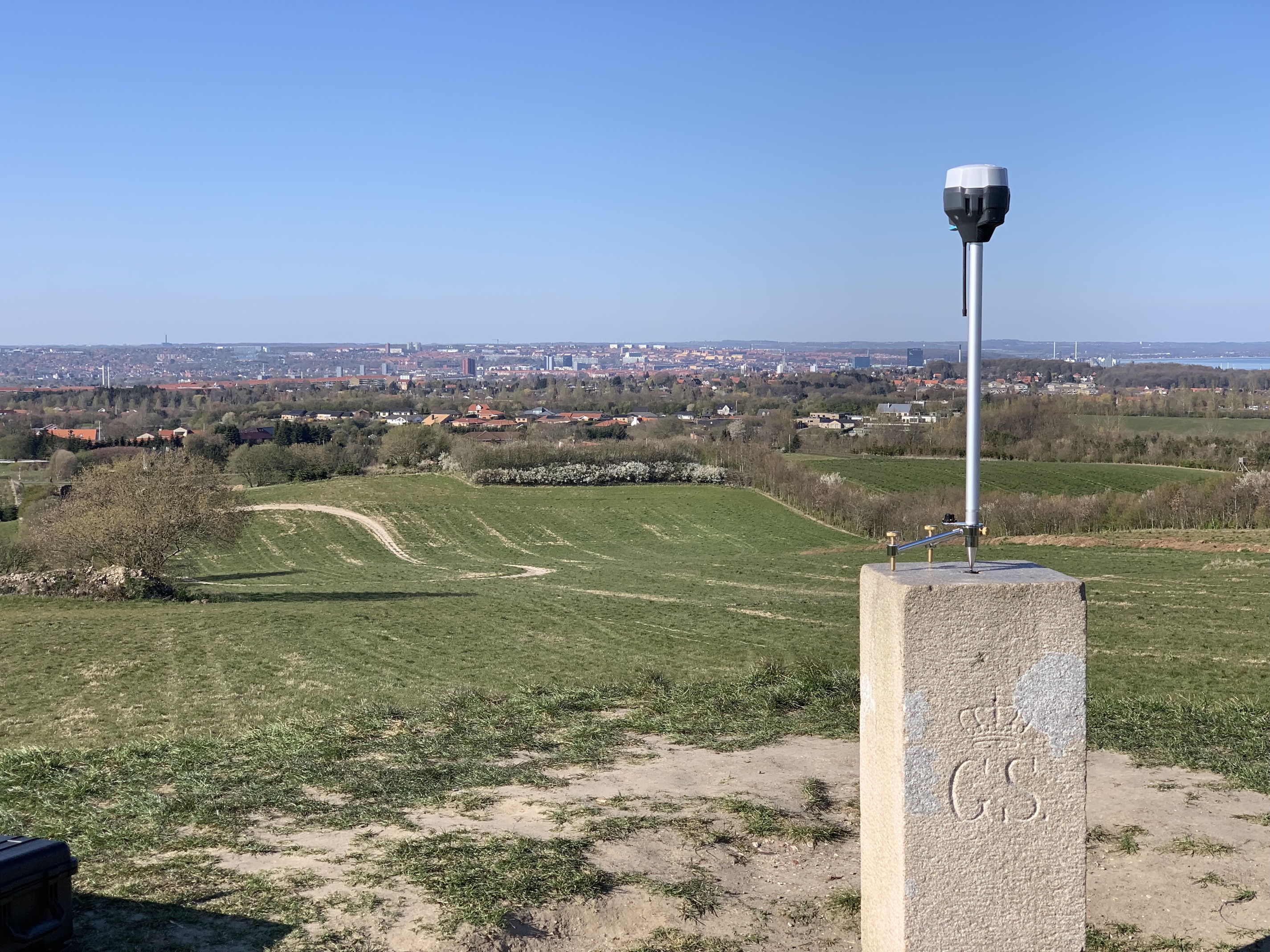
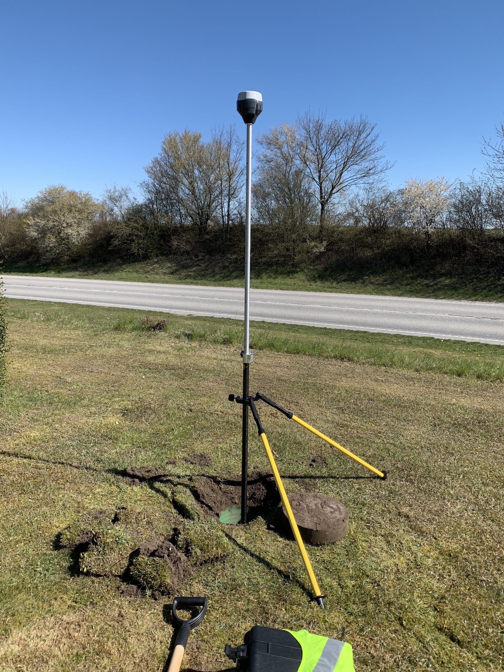
when setting base - height of instrument would be necessary to improve accuracy when placed over
a known point
what i am referring to is under base mode when you have a known point with known coordinates you can set the height of the instrument - but when you use the other settings average single, float and fix - you cannot specify the height of the instrument - so when you are using the rtk radio transmission to establish coordinates for the new points you are tying in - the base elevation is not correct cause it is missing the height of the instrument - height of rod is just as important as height of instrument in surveying
when collecting data - once a description is input - it keeps it - also a drop down with the
descriptions
this is in the survey portion - you have to re-input the description each time you take a shot to tie in a point - a drop down or at the very least the description that was used on the last shot be the default for the next shot - a drop down with descriptions that have been used in the project would speed things up with not having to retype the description each and every time
For this one, (base coordinate settings) what about something like a radio button chooser between:
Coordinates of base antenna (icon pointing to antenna reference point on RS+)
Coordinates of mark below base (icon pointing to the ground underneath a tripod mounted RS+)
and they would have fields like:
Coordinates of base antenna
Latitude
Longitude
Height
Coordinates of mark below base
Latitude
Longitude
Height
Height of antenna over mark
And so you could select either one. If you did an “average base coordinate” then it would populate the fields of “Coordinates of base antenna”, and then the “Coordinates of mark below base” would all be greyed out until you entered a number into the “Height of antenna over mark” field. At which point, it would subtract the “over mark” height from the averaged antenna height to fill in the actual mark height.
Maybe there could even be an “advanced” button, just in case you wanted to be able to enter a three dimensional E,N,U antenna offset.
And of course there would be the ability to automatically add the brass adapter height and the RS base to antenna height with checkboxes.
OK now, say that instead of averaging a base coordinate, you were entering manual coordinates. You could still pick either option above, but if you picked “Coordinates of mark below base”, then you would have to enter a number in all four fields for it to be valid. Omitting the “Height of antenna over mark” would not be allowed.
What is the use case for this? When you are averaging fix, float or single the height of the instrument is automatically taken into account. The base elevation is correct as position of the antenna is measured, not a point on the ground.
so how can you get back to the exact location above the point - all benchmarks are placed on the ground - so therefore height of instrument is always relevant - i dont know to many individuals that place the rs directly on the benchmark - most use a tripod - and if the bm is on a pedestal that is something that i have rarely encountered in the 28 years that i have been in this field
Yeah, that makes no sense. I actually makes more sense if you discount the rover height as well then… as long as you are using the same mounting options every time you go back.
Do you post-process? You can account for the antenna heights in RTKPOST as well.
Few things that I would like to see for ease of use.
Assign base station coordinates from known point:
If I could upload my control points in a CSV, I would like to be able to select from a list of points when I setup the base station. Instead of manually typing the coordinate in each time. (it’s slow and gives the potential for errors!)
Allow more formats for CSV files. Having to manually change every file to match exactly what the software needs is frustrating, since many systems have different formats. You should be able to assign each column to whatever you need as you import it.
Allow point descriptions (or other attributes) in the CSV.
Most of the times points will have a name/number, lat, long, elevation and then ‘description’. The name or number must be unique, but the description can be “Edge of Pavement” or “Centerline of Ditch”
Offline use would also be exceptional. I would love to be able to edit point descriptions, browse the map of all my points, or setup my base coordinates offline, then just update the settings once I am connected to the RS+.
this is a great recommendation - i havent tried anything but staking points using input point files and just assumed that the bases could be selected - but now that i have looked - they have to be input manually - so good idea
i dont know how the offline would work cause the rs uses a webpage layout - and that is only accessible when the unit is on - but it would be nice to have a project that could be worked on and then when the unit is turned on - the option would be available to upload the project to the base or rover
side note
one thing that would be good is a better tutorial on starting a project - one thing i have been doing but dont know if it is required - logging into the base and setting the base position/coords - then logging into the rover and setting the base position/coords - i havent tested if this is required - but the documentation / tutorials dont specify whether or not it is necessary


 )
)