


I already use that Pix4d article for my Photoscan error estimations. Have put it into an Excel-sheet, as Photoscan sadly don’t have that functionality built-in.
I usually fly my volume-measurements at under 1 cm/px GSD (below 30 meters ish with a Phantom 4 Pro) to keep that error to a minimum. Flying in a cross pattern with camera at 70 deg gives my good results.
2 Likes
I assume you are using Capture for flight? Have you tried a plan with nadir and oblique images? You should get better horizontal accuracy as well if you include nadir.
Currently using DroneDeploy’s app for it actually. Many times my “survey”-area is a complex shape, and won’t fit legally inside a rectangle.
The Pix4d app takes longer as it stops for each new line, which gives me slightly better accuracy from the P4P GNSS, but then, if it 4 meters or 1 meters doesn’t really matter. The GCP’s and scalebars take over.
The accuracy of horizontal axis using obligues doesn’t seem to be an issue currently. I have run tests using a standard 20 foot container. Here the resulting dimensions are within ±1 mm on all sides (error most likely from actual subpixel placement error, rather than computational).
1 Like
Ok, cool. Have you tried the Structure Mode? The main reason I prefer it over Cross-Hatch is because I have to fly past boundaries to effectively get the edges of the map accurately and also when the GCP’s are near the outside I don’t get as many matches, but the Structure Mode does the nadir flight and strafes the perimeter so it never gets outside.I have also not had good luck with absolute accuracy when tagging GCP’s on oblique angles when it is only cross-hatch. If you have very odd shaped areas you can run two structure mode flights (in Structure) adjacent to each other which is actually my preference if I really want a nice 3D model. On top of that you get much better isometric shots around buildings for documentation.
Yep, tried it multiple times, but with 70 deg obligues, and then the final orbit afterwards.
Near outside of the imageframe you mean?
Matches, as in auto-recognition of the GCP target?
I am doing new GCP’s these days so I can use the autodetection in Photoscan. But indeed, obligues with GCP’s in a far corner are quite smeared, and placement pointer accuracy of these at 3x-4x less.
1 Like
My targets were made from a local print shop and cost $5.71 usd per target. AGIsoft Metashape, DJI mavic pro, altitude 40 meters. Dell XPS 15 9570 Core i9 UHD
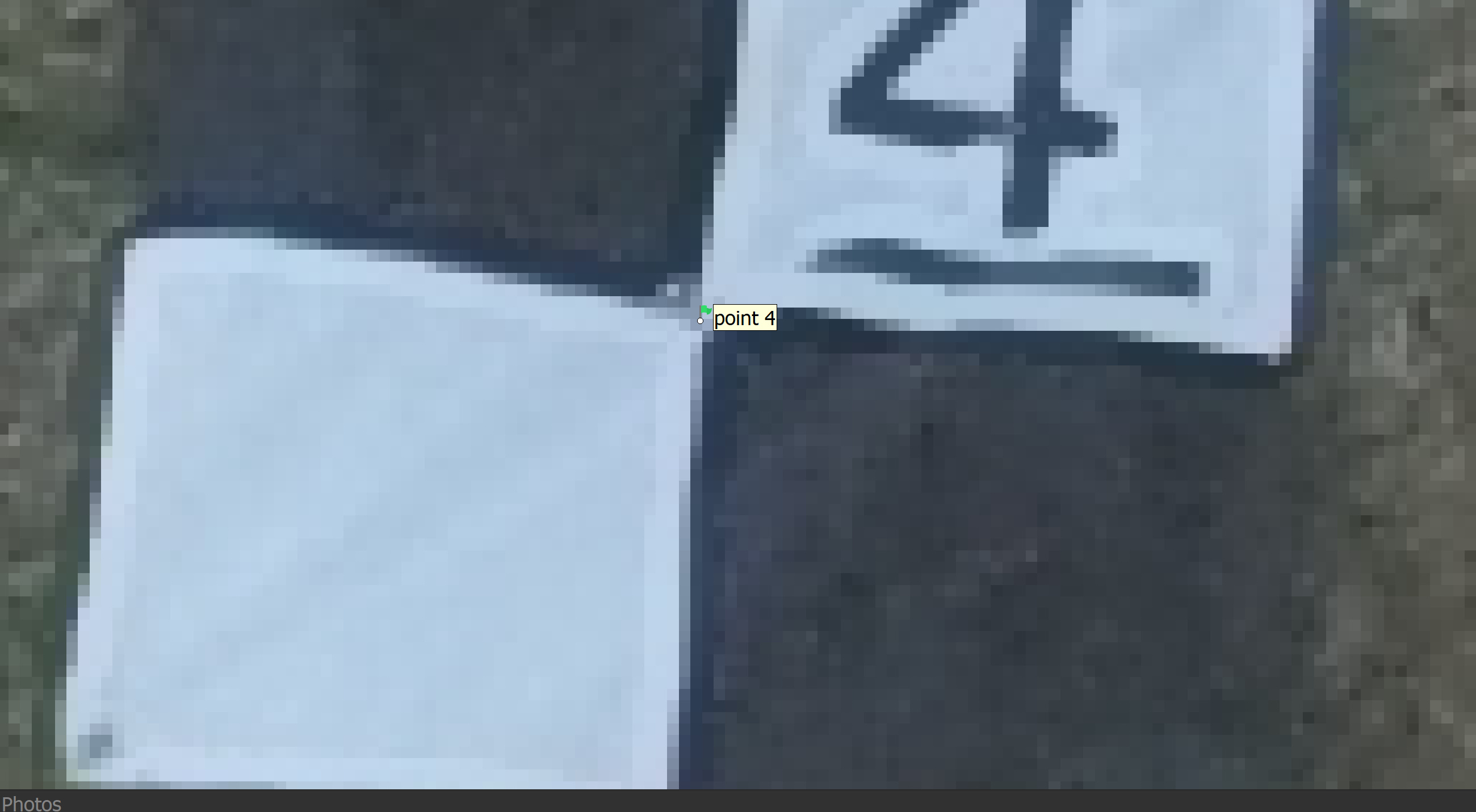
AGIsoft metashape auto marker detection settings -Marker type * non coded - Tolerance * 36 -Maximum residual (pix) * 1 - Check Inverted (white on black)
3 Likes
In Cross-Hatch, moreso when the drone makes the turn and is looking back at the project. When I cannot cross boundaries I am missing about the first 50ft or so underneath the drone. Because of this and the fact that my GCP’s are normally one row in so the I get three rows coverage I end up only getting 4-5 matches vs 8.
Nice, but how do you get enough match by the side of the building. This can warp the map if you are only getting matches on one side…
Hi!
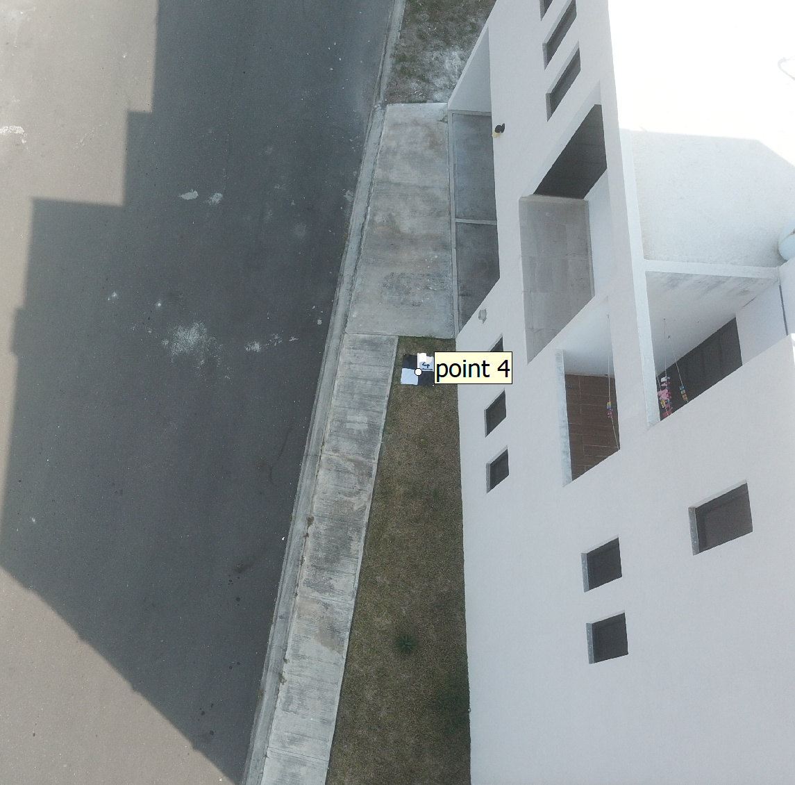
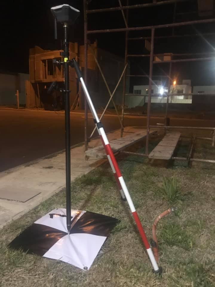
It seems like you would get an altitude error with “soft” targets like that on “soft” substrate. They will have a lower measured altitude than during the UAV flight - when the center is not “pinned” down by the rod.
1 Like
Here’s another bad scenario where I flew for the General Contractor we were subbing for. Up against a fence and… they built a survey cage around it.
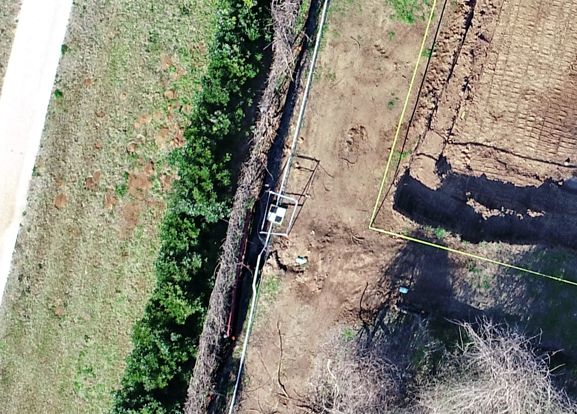
and really… I understand it is hard to visualize from the ground which is why I always do an existing conditions flight for every job and then do the logistical analysis.
You may not be concerned with it, but you may want to check your ground level accuracy around the building where the GCP’s are right up against the wall. There again we use the drone for allot of civil grading work and some people are just interested in a pretty 3D model.
1 Like
Haha, good one. Its almost like saying chees when taking pictures and all you get is funny faces.
The target has 4 corner pins and one pin in the center. The DEM measured .00492 deference from tape measured. Super happy with the results from Emlid Reach RS+
2 Likes
In Pix4D you can add manual tie points in areas of difficult reconstruction with high uncertanties but don’t require coordinates. It calibrates the cameras because you are telling the program what the common pixel is across multiple images. Functions how your GCPs would in this case by the sound of it. Can you add manual tie points in Photoscan?
Bummer. Its essentially the summation of error for all pixels in the “pile”, right?
Litchi is also worth mentioning. A little more user intervention but lots more control of your flight when you get the hang of it. I’ve used both Pix4D and DroneDeploy app but always resorted back to Litchi.
1 Like
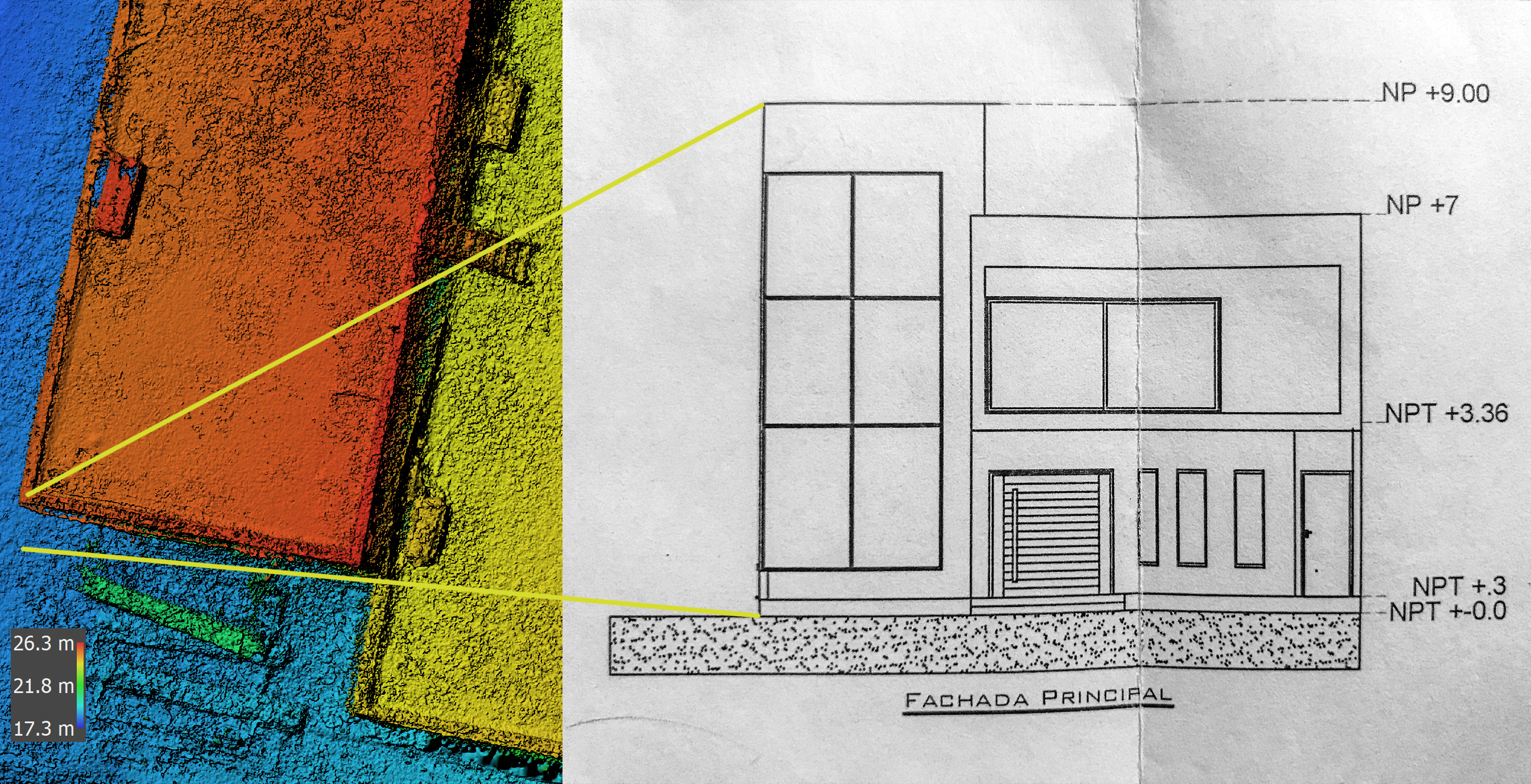
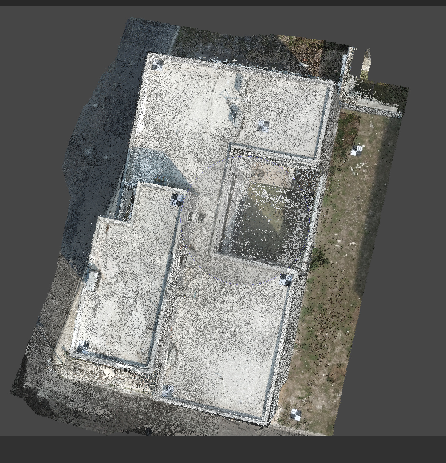
Very happy with the results, verifiable via plans and tape measured results. DEM generation via AGIsoft Metashape
2 Likes
Very nice to see others checking their work! 
2 Likes
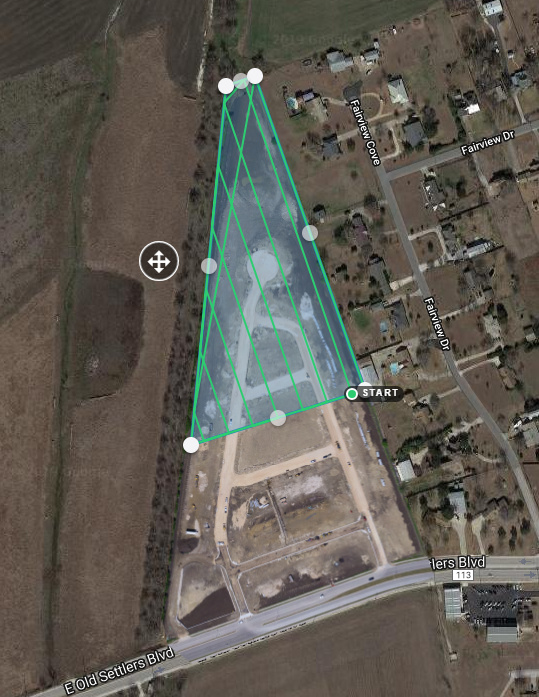
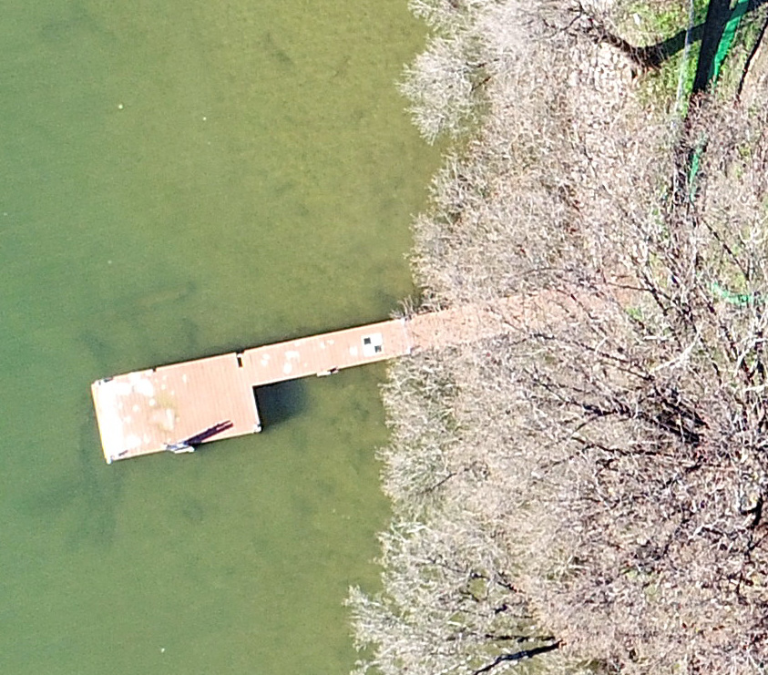
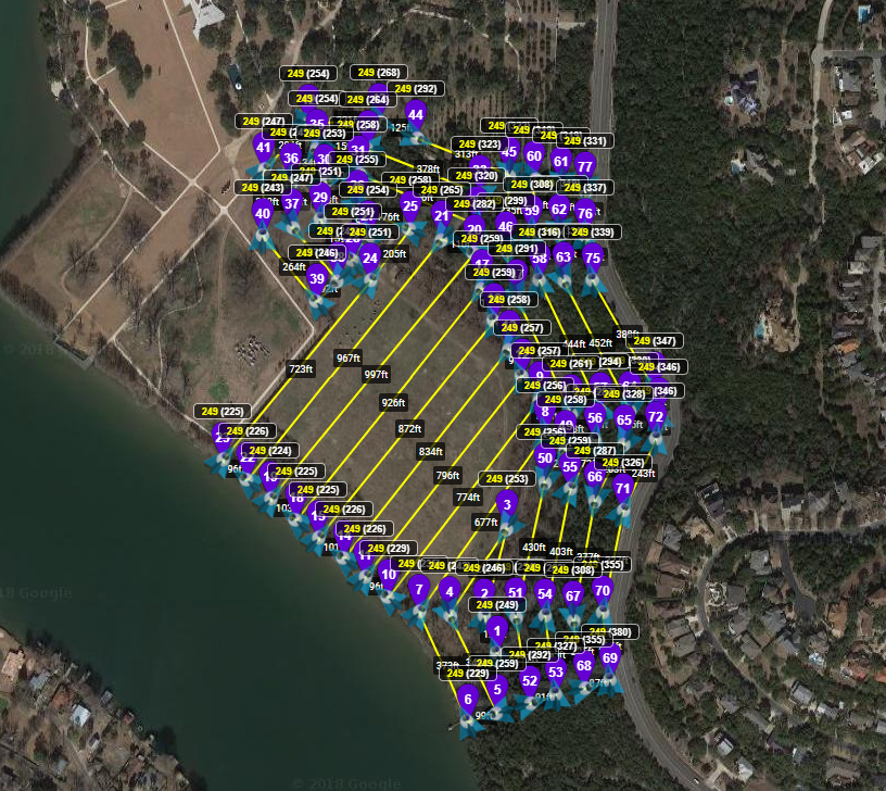
Love Litchi. Here’s a map I just flew. Did you know you are limited to 99 waypoints. This was super-efficient because I traversed the cliff parallel to the contours and then the bottom flat in usual lawnmower pattern. All at relative to ground elevation with 180ft of elevation change.

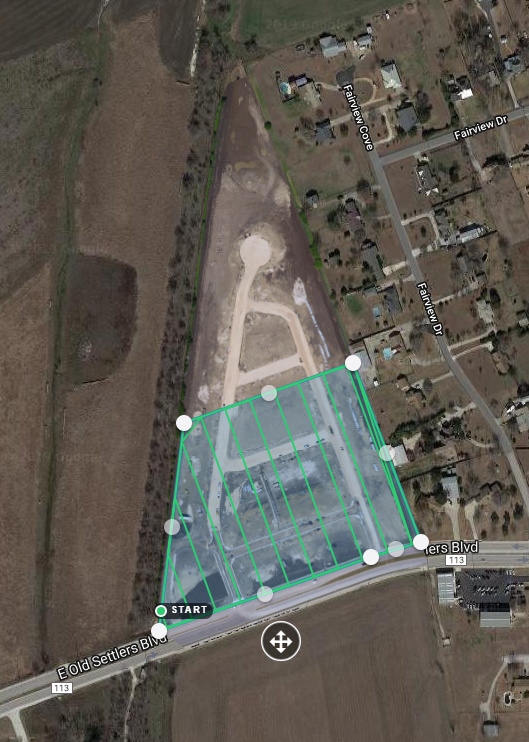
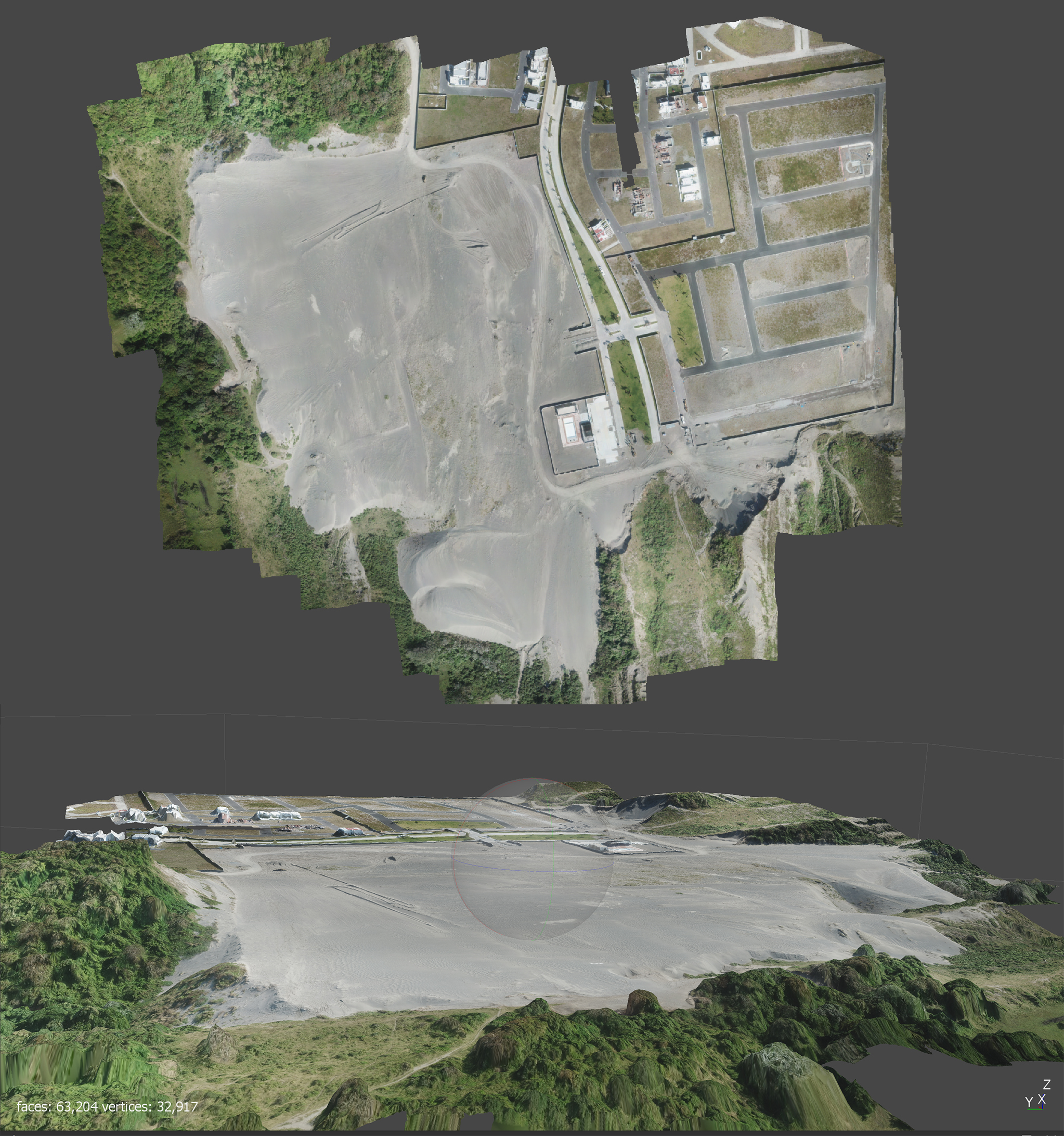
I’ll share the results of an ongoing project once construction has completed on a residential development project that I’m using soft targets for GCPs, DJI Mavic Pro, Metashape, Emlid Reach RS+ (2 units RTK), Carlson SurveyGNSS and Carlson Civil 2019 for civil earthwork:
Perimeter 2526.8 meters
Area (m2) 407905.5
Volume above (m3) : 1.13957e+006
Volume below (m3) : 1.58752e+006
Volume Total (m3) : -447954.9
1 Like
Good to see you putting Litchi through the ringer. I do a number of geology jobs a year that require vertical misison planning to capture large rock/cliff faces, some well over 1,000 ft elevation change. Litchi is the only one that gets close as opposed to flying manually.
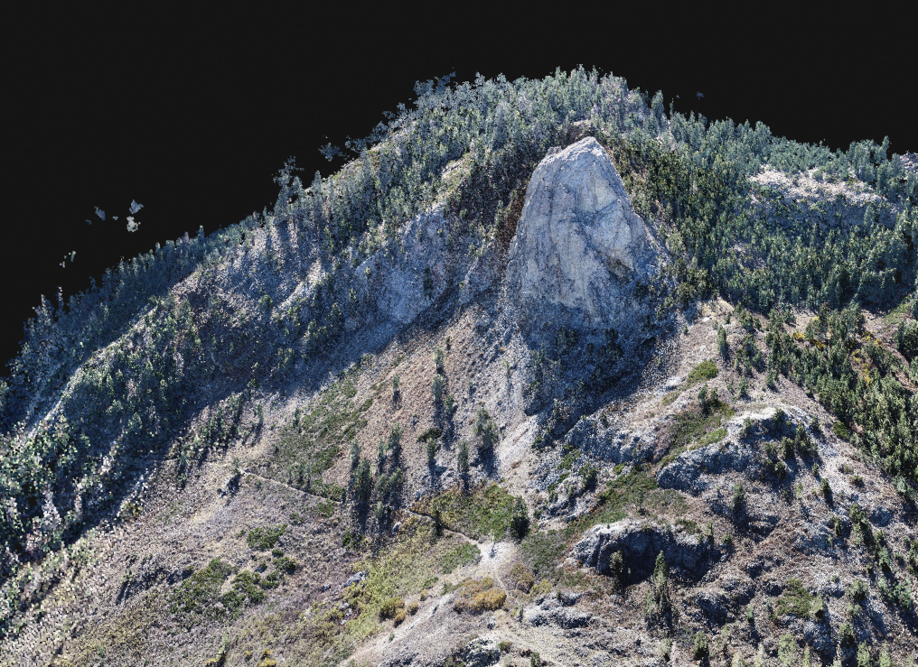
Litchi is even better if you know your way around Mission Planner, but that’s all I am going to say here…
3 Likes