You’re thinking the right way. To set West longitude, you need to add a minus sign before the longitude value. “E” at the end of the line just shows the positive direction.
Could you elaborate on which coordinate system you use on your base and rover? Our receivers support using different coordinate systems and vertical datums on rovers. However, the base should have geographic coordinates and ellipsoidal height only.
The Rover is set at: WGS84 + NAVD88 (EPSG:4326 + EPSG:5703). I can not find the settings on the Base.
The Lat, Long, and Elev. that I entered in the base for the benchmark it was set on are from OPUS.
I have attached the OPUS report. Values highlighted yellow are the values I entered for the Base station position. I am not sure if Lat Long in WGS84 since the data frame is NAD83. I used the NAVD88 height (Geoid 18). The ellipsoid height matches the heights from the log files from the RS2 units.
A surveyor told me I should use the Geoid 18 value. OPUS-RPT-10-4-21-17Hrs.pdf (76.8 KB)
I changed the height to the ellipsoid height and ran the survey. I was able to get FIX on the targets that I set the Rover on. Since the OPUS data is NAD83 and I used the Lat, Long, and ellipsoid elevation what coordinates did the Rover record? How should I import this data into a GIS?
I am looking at the CVS file. The elevations are in the NAVD88 (Geoid 18) reference system. I can tell this by the elevation it matches closely the NAVD88 (Geoid 18) elevation from the OPUS file. I don’t know how to tell what the Lat Long reference is. Will it be WGS84 or NAD83? Since the elevation is what the project reference was set then I am thinking that it is WGS84 since that is what the project was set to.
From the OPUS data I used the lat long (NAD83) and ellipsoid elevation (not the Geoid elevation) for the position of the base station.
Am I correct in assuming that the csv file from the survey project converted everything to the WGS84 and Geoid elevation?
If your base lat long is NAD83, your output will also be in that system. No transformation is happening to that in RV3, so you can always use that rule.
The altitude is being converted from elipsoid to the selecting geoid in RV3 using the downloaded geoid model.
Do coordinates in the BASE always need to be LAT LONG or can you use UTM (meters)?
Are LAT LONG in NAD83 the same as LAT LONG in WGS84 (do they plot in the same location in a GIS)?
I’m glad that setting the ellipsoidal height for the base helped to get a fix.
Base coordinates should be in Longitude/Latitude/Ellipsoidal height format anyway.
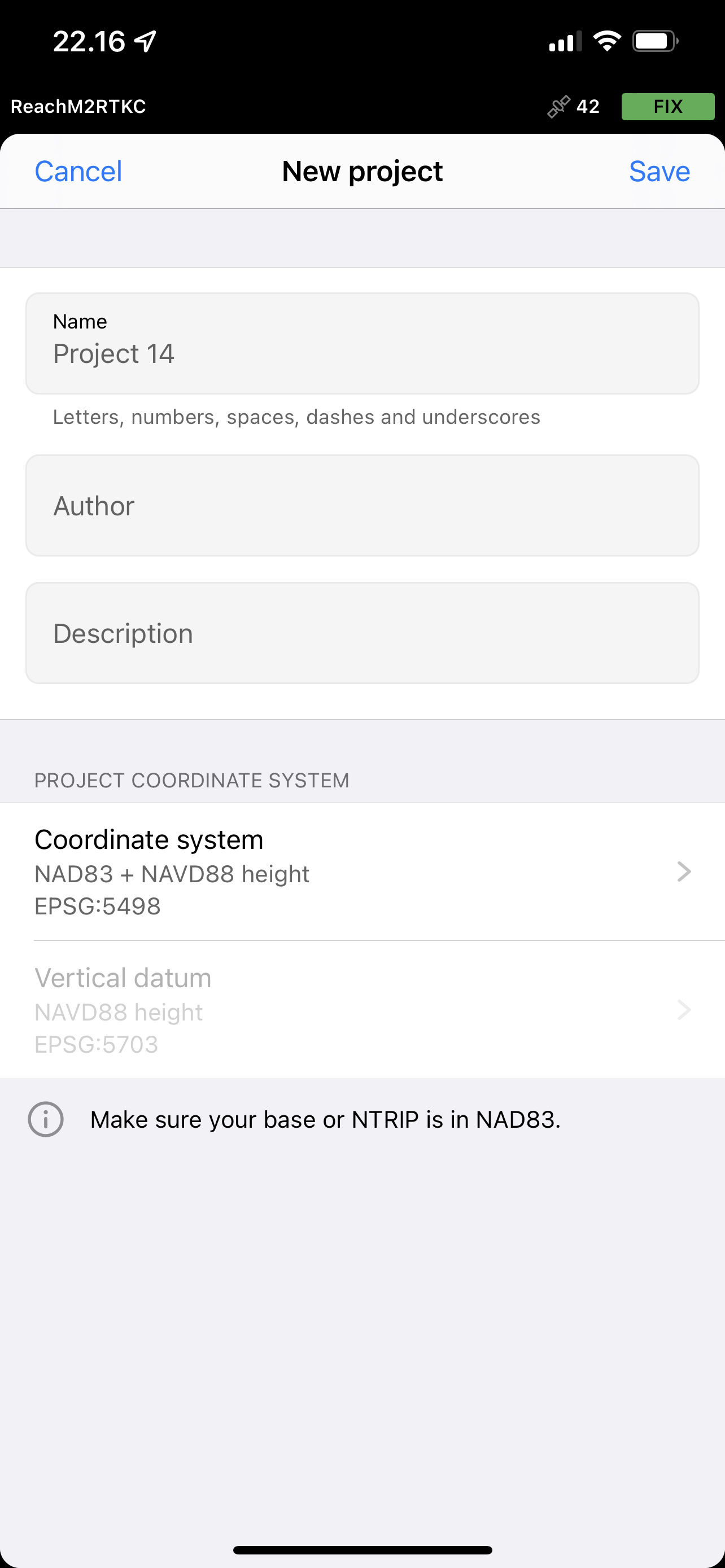
Mark, as I see for now your base has geographic coordinates related to the NAD83 datum and ellipsoidal height. It allows you to work on your rover with any coordinate system related to the NAD83 datum as well. Christian shared a screenshot with one of the possible options above.
To avoid confusion with setting the coordinate system on your rover, we also added a note in the New project tab. It hints at which coordinate system should be your base to make things work.
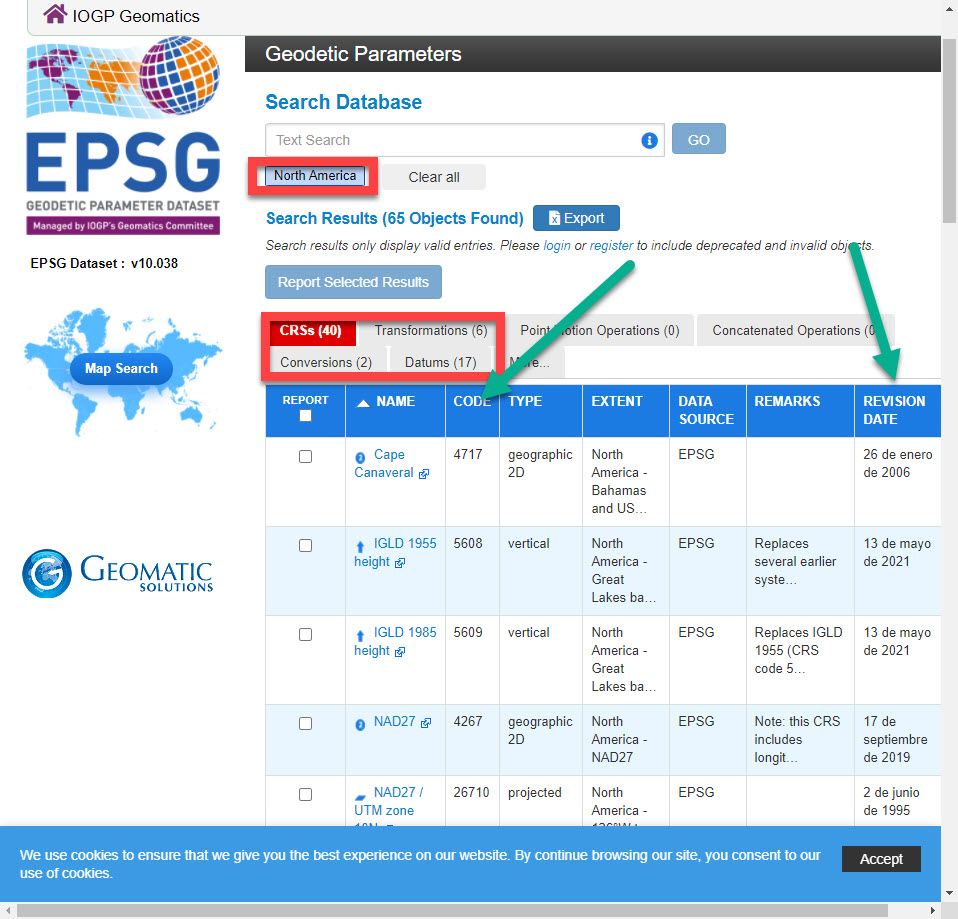
Looks like the Rover data I collect needs to be ESPG: 32612 (WGS84 UTM Zone 12N). So what Emlid coordinate system should I be used. The syntax for the Emlid coordinate systems are different from what I am used to. Is there a table that lists all the coordinate systems that are available the would help me find the ESPG: 32612 system.