Thanks for the tip. As you can see, the coordinates have minuses in front, so they are correct.
This is a question of how to represent data. We recognize that users’ expectations differ significantly around the world, and people will want to use their favorite formats for the coordinates. For now we’ve picked the most straightforward one and focus on more fundamental stuff, but we definitely want to make it customizable in the future.
I’ll need some additional information in order to help you. Can you send me a screen recording of the failed attempts to update via a private message? I’ll try to figure this out.
ok
tell what i can send you after i connect it gives me that screen shot i click update it take me to the update screen then i click subscribe then update it tells me that my farmwire is up todate
Just FYI, our NTRIP here provides base station positions in NAD83 (2011) Epoch 2010.00. It is NOT WGS84… although they’re effectively the same. It’s a technical detail though that may cause some confusion on many NTRIP networks that are surveyed in the most common reference systems.
Hi, Nathan!
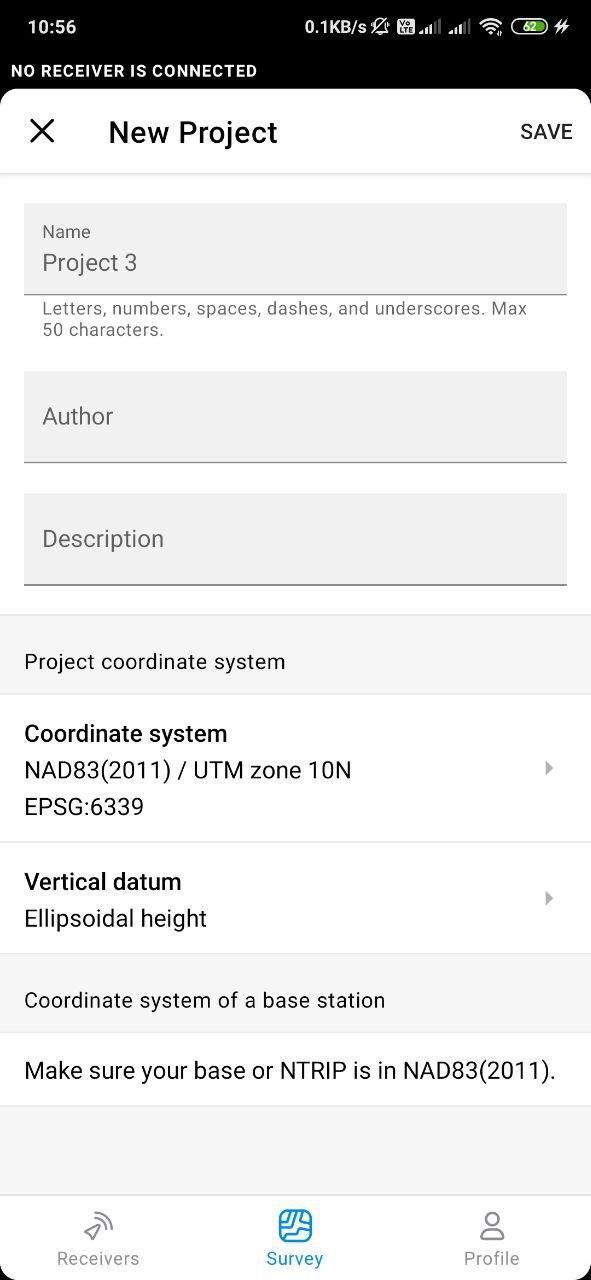
When you are using any system based on NAD83(2011) we assume that your NTRIP in NAD83 (2011) as well. So, no additional transformation between different datums will be performed only projection will be applied if it’s necessary.
For example you want to use EPSG:6339(NAD83(2011) / UTM zone 10N)
You can see a hint on the screenshot about expected base coordinate system, it should be NAD83(2011).
Transformation NAD83(2011) -> NAD83(2011) / UTM zone 10N will be performed in order to get final coordinates.
here is the result compared with parameters and without
7621044.5889 4578593.7225 73.5644 with parameters
7620623.609 4578628.356 117.122 without parameters
420.980 -34.633 -43.558
Base station is in WGS 84 as i know i use it with reach 2, by transforming coordinates in WGS 84.
State system is Bessel 184, 21 degrees east from Greenwich, and north from equator.
I can send all transformation parameters. if you need
I am not sure if it has been mentioned already, but would it be possible to have the app create a point for the base once the base has launched? That way you do not have to go manually copy over points. That would remove the likelyhood of transposing numbers when recording the base/converting the WGS coordinates to your local projection.
Hy
I can’t upgrade to this version my “primitive” reach RTK
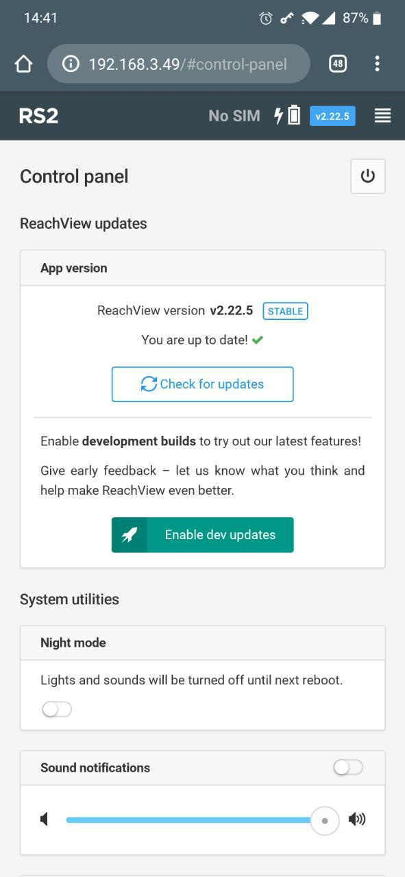
I mean when I launch the new app I asked me to upgrade then It switch to old app but I receive message You are up to date ! v 2.22.2
Any suggestion ?