Found it.
1 Like
Cool, thanks for looking. I was too lazy.
Congratulations on the application. Is it possible that WMS layers can be loaded in the near future?
3 Likes
Thanks alot ToreCrash, I’m a big fan of your work
Just a quick question, we are using wgs84 as a datum, when I use crs-ppp it’s coordinates are in itrf2014, is it OK to assume they are identical and use itrf2014 in my base setup mode (manual)
I have notice that in reach rs+ there is no lights to indicate single, fix or float sloution similar to reach rs2, it would be cool if you make additional combination of the current 3 led status lights to serve this purpose in upcoming firmware update.
This would help us with reach view 3, to send non technical staff to the field to demarcate and stakeout points, without being worried that they might play with the device configuration
1 Like
My first thought is no. If you`re on the eurasian plate (guessing you are located in Africa/Sudan?) the shift between WGS84 and ITRF14 could be cm or meters off. This specially tru with PPP and if you try to tie it to your local datum.
You could be lucky and the difference is small, then yes you could get away with using WGS84 as it is. Your location and datum would tell how far apart WGS84 and ITRF14 is.
Edit: As @Luke_Wijnberg mentioned earlier, the grid for absolute true coordinates might not be as good around your area and “true” position is somewhat meaningless.
Tested. Points load but no colors
test23.zip (250 Bytes)
Thanks for your kind replay, unfortunately we don’t use local datum only we use global datum wgs84, in this circumstance is there any way or tool to convert from itrf2014 on survey epoch
Or alternative method to find out the difference in in cm or m
Thank you @andrei.kuznetcov, we continue testing. Simply excellent for what I need. I really like the simple and practical interface.
3 Likes
7 posts were split to a new topic: ESRI 102733 correct units
Sorry, not sure what tools you would need. Do you have any trig. point to work from?
There is no cors network or trig gps points only outdated Robber BMs, the purpose is to help to establish new geodetic control points network in rural and urban area for the first time, to help in land demarcation
You know I’m going to change my phone, because it always loses wifi, from reach and from home, that’s a problem , when I reinstalled the app it works very well, no problem anymore, my phone is motorola G 5 plus. Because of quarantine I’ve been testing on the roof, I think Reach + fixs faster than before, the only thing is going on, it’s satellites from glonas blink I made notice this in other messege but using the 2.2.4 app well, hope You can able to solve it too, Muchas Gracias
1 Like
We’ve added proper Poland support to our roadmap. Once we start working on the implementation, questions will probably arise and we might contact you for some clarifications.
Thank you!
I love this idea, thanks for the suggestion. This should make its way into the app at some point in development.
1 Like
Hi!
Thanks for the question. We are considering this feature right now. Would you mind describing the workflow with custom map overlays you usually use in a PM? How would the map get distributed, do you also use WFS or other vector formats as well?
1 Like
Hi.
Loading would be easy if there was a layer loading icon on the survey screen. Within this icon there would be several possibilities to load data layers.
The type of data that I usually load are DXF, GML and WMS.
An example of WMS in Spain, is the cadastre, is this URL:
http://ovc.catastro.meh.es/Cartografia/WMS/ServidorWMS.aspx?
For WMS data it would simply be giving the data layer a name and associating the corresponding URL to it.
And for DXF and GML data, it would be enough to be able to select the file from a location on the smartphone.
2 Likes
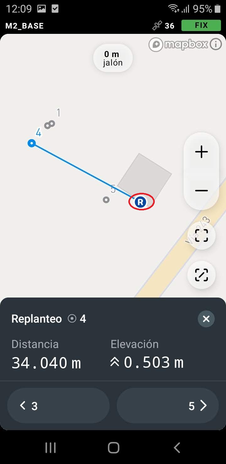
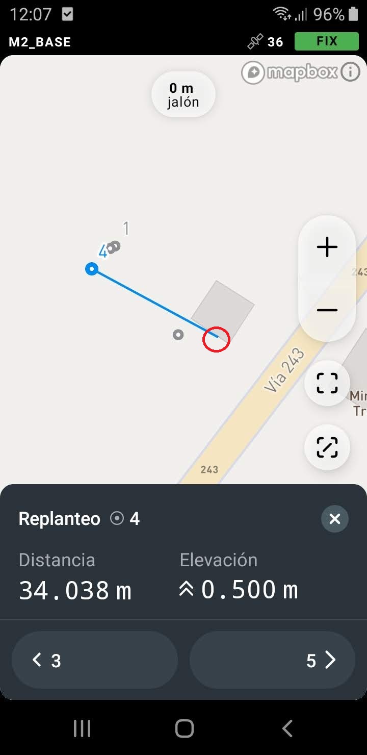
@egor.fedorov In data export, there is a problem with the date and time.
It has a different format than Rechview 2 and the time is in Local not UTC.
I am interested that it is the same as in rechview 2 to be able to use the point extractor. Thank you
Great job Emlid team 

4 Likes