


It’s just another term for the 7-factor adjustment you were talking about. Some call it a site calibration. It’s actually a little bit simpler of a method where the site is scaled and rotated according to on the ground monumentation in comparison to the recorded locations and distributes the error of the deviations at each location across the network of all the points located. Once localized all new points are automatically fit into that network.
Good news, everyone!
Firmware version 2.24 (stable) is now available for all Reach devices! I’m glad to announce that the ReachView 3 app on both platforms supports it!
@agrimgalina @kasanmascheff @Doppler_Uav @eng.ricardocarvalho
The latest versions of the app won’t ask you to use DEV firmware on your receiver — feel free to move to 2.24.
8 Likes
Good news @andrei.kuznetcov !
Is there any plan to set satellite photos in the background of the survey page of ReachView 3 ? Thanks !
3 Likes
Hi @Florian!
Sure, additional tiles for the map are in our roadmap, including satellite photos. By the way, may I ask you to tell what are your use cases for them? This would help us with research and improving experience of surveying with ReachView 3.
2 Likes
Hi @ivan.korenev, and thank you for the quick reply !
Sure, this is actually some feedback from our customers in agriculture when they use stake out feature. They are really more comfortable about “feeling” where they are in the field if they see photos instead of a plan in the background. Photos show groves and ponds for example, while a plan don’t.
5 Likes
@Florian Thank you!
Our clients in Cambodia asked to have same stakeout interface like in ReachView 2 because it is very easy to use and visualize.
3 Likes
When doing stakeout or point collection in the field and if we had a satellite image that would really benefit the user of where he really is in the field . Similiar to what @Florian said
4 Likes
Are you talking about the actual survey screen? If you are doing auto-topo maybe with all the points I already have on my screen that would be a disaster.
Good afternoon
I have been checking the new 2.24.0 update with Reachview 3 Beta, and it works great.
The only error that I have detected, is that when configuring the project, here in SPAIN, the official geoid model is EGM08-REDNAP, but in the Reachview 3 application the geoid is called EGM2008, and if I select it, the orthometric heights have an error of about 40 centimeters.
On the other hand, if I select the new geoid model “Alicante height (Alicante)” the orthometric heights are perfect.
Can you check if you have it right or not?
Officially the geoidal model of SPAIN is downloaded from the following page. In case it helps you
1 Like
Unfortunately not yet, but we can see uploading your personal copy of this geoid is probably the right way to support heights in Germany, so we’ll try to add support for this workflow.
2 Likes
Hi!
Thank you for testing and reporting Peter! Happy to know the app works for you.
All this functionality is in our roadmap in one form or another. Thanks for the suggestions though.
Hey!
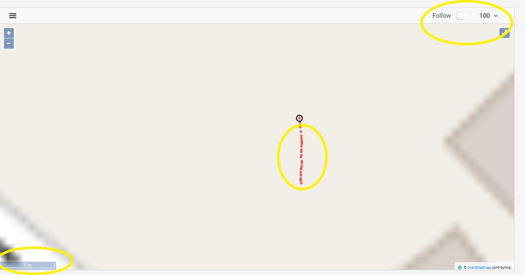
Do you mean the “zoomed” mode with the circles? We had to postpone it, since it’s not crucial to the stakeout workflow. But it should be coming back in the future.
Hey @willstar_beleno,
The scale should be released in the near future. The map trace is in our roadmap.
Thanks for the feedback.
2 Likes
Hi Emilio,
You are correct, Alicante heights is actually the correct vertical datum for Spain. The EGM2008 is a global geoid and is not the same as EGM08-REDNAP.
Ok, thanks
Hi,
the app is missing the recent Greek grid systems HEPOS_GGRS87/TM87 , HTRS07/TM07 along with the grid files.
Please add them to the app.
Also can the user add some custom geoid file?
1 Like
Hi @vgo195,
We are aware and currently research ways to support Greece in our app. Unfortunately, the grids in this case are pretty non-standard and require more work than usual to integrate.
We’ll make sure to notify you when the support is out.
We had to postpone custom geoids for reasons I described in this post above. We do have plans to add them in the future though. Could you share how you intend to use this feature?
1 Like
Why when i connect the base the base mode is not active in the list