


Originally published at: https://emlid.com/reach-m2-is-here/
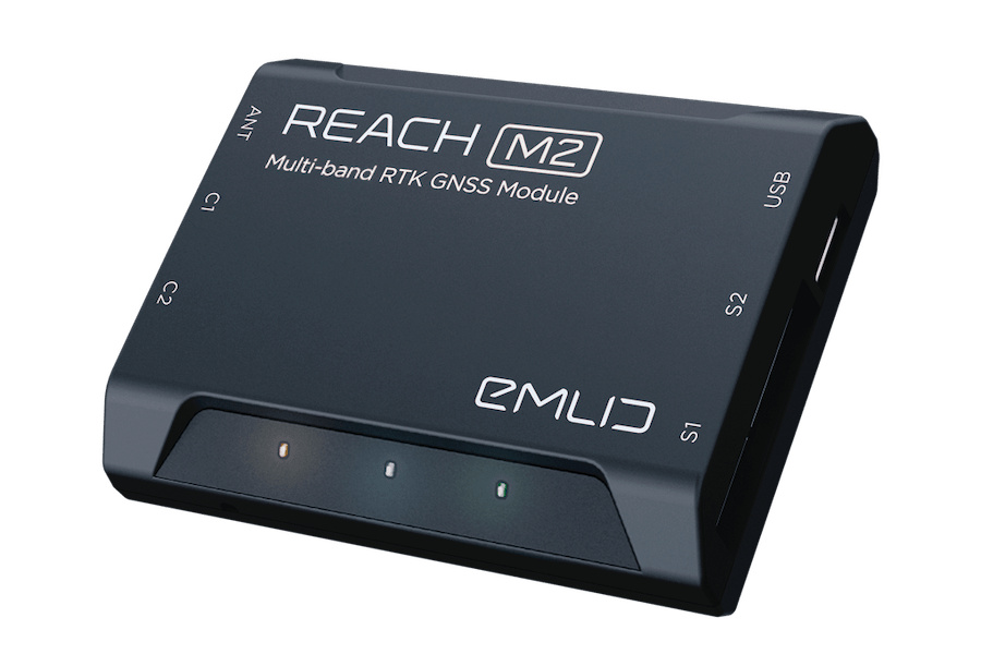
Today we launch pre-orders for Reach M2—our new multi-band RTK GNSS module. Designed as an evolution of its predecessor, Reach M2 retains the same size and shape as Reach M+ and features advanced specs.
We introduced Reach in 2014 and since then it became a popular solution for real-time navigation and PPK mapping. Early adopters proved that Reach is a versatile and efficient device for a wide range of projects. Thousands of vehicles on the ground and in the air are powered by Reach from DIY lawnmowers to heavy-lift drones. Today Reach is well recognized as an easy-to-integrate solution, enabling centimeter-level accuracy.
Among Reach users from a variety of industries, there have always been drone pilots seeking longer baselines and more robust fixes. Multi-band Reach M2 with its new helical GNSS antenna is designed to meet the demands of a professional industry.
Enhanced Performance and Longer Baselines
Reach M2 supports L1/L2 bands on GPS, GLONASS and BeiDou and E1/E5 on Galileo. In practice, that enables almost instant initialization and robust performance.
With a single frequency Reach M+, you were limited to work on distances up to 10 km in RTK mode and up to 30 km in PPK mode. Reach M2 pushes the limits up to 60 km for RTK and up to 100 km for PPK. This means you can fly much further in RTK mode or use remotely located reference stations for PPK and still get repeatable and consistent results.
Designed for UAV Mapping
Reach M2 is ready for integration into a mapping drone. Connect it to a power source, sync with a camera and record the precise time stamps for each photo. Fly a drone, Reach will record photo events with very high resolution and store them in a raw data RINEX log in internal memory.
After the flight, get the RINEX log and post-process it to get geotags for each photo. Precise coordinates of the photos can be then used for georeferencing in Metashape, Pix4d, DroneDeploy and other mapping software.
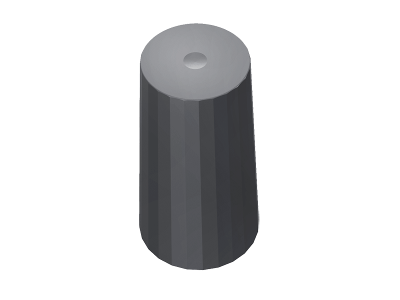
New Multi-band Helical Antenna
We’ve thoroughly tested a number of GNSS antennas to make sure you get the most out of your new multi-band RTK module. We came up with a helical antenna, that performed really well during our accuracy and durability tests. The antenna tracks the same systems as Reach M2, so you won’t miss a satellite.
Compatible with a Hot-shoe Adapter and LoRa Radio
Our hot-shoe adapter is perfect for accurate UAV mapping in PPK mode. The adapter is used to connect Reach M2 to a camera hot shoe port. This helps to record the time of each photo with a resolution of less than a microsecond.
Reach M2 seamlessly works with external LoRa radio for RTK communication with Reach RS2 base. Compact and low-power radio can be installed on a drone to enable real-time positioning accuracy on distance up to 8 km.
Configuration and Logs Management with ReachView App
Reach M2 is controlled via our ReachView app for iOS and Android. The app allows to configure RTK settings, log raw data in RINEX format and manage all other features of the receiver.

Pre-order Now
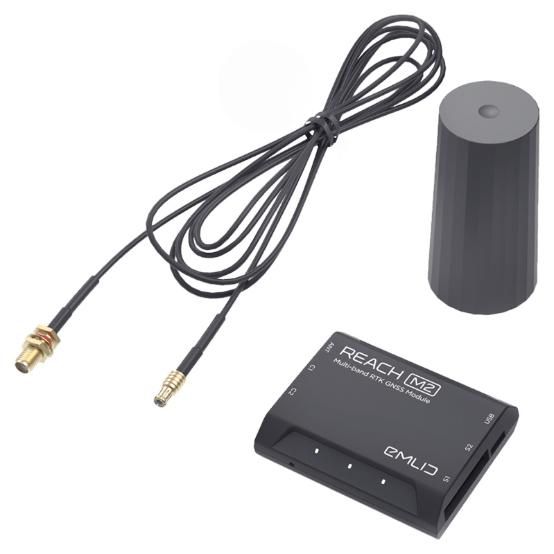
Reach M2 with a GNSS antenna is now available for pre-order for $595. The first batch is limited, reserve your unit now in Emlid store. Shipping starts in January.
We’ve also added a Reach M2 UAV mapping kit to our online store. The kit is a complete solution for PPK mapping with a drone. It contains a multi-band Reach RS2 base station, Reach M2 with GNSS antenna, and a hot-shoe adapter for a camera. Pre-order it now from Emlid store.

