Hello everyone!
Today we are introducing a beta version of Emlid Studio - our own desktop application for post-processing! It’s designed to make PPK workflow for Reach users more simple and straightforward.
Brief overview

Emlid Studio is a cross-platform app for post-processing based on RTKLIB. It can convert Reach logs between different formats, perform point processing and show results on a plot.
All the post-processing steps in one place!
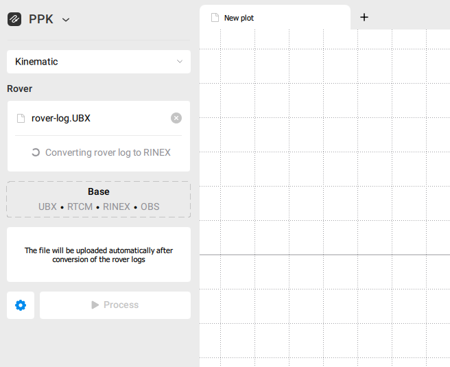
PPK
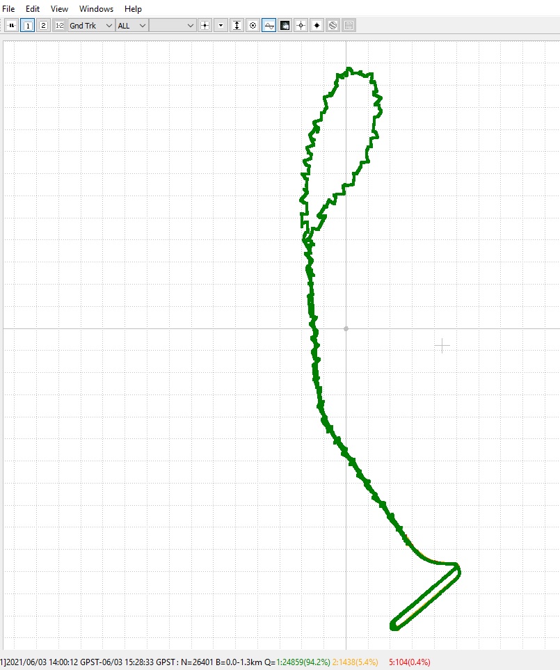
In PPK mode, you can process the logs obtained from Reach receivers to get an accurate positioning track.
Rover and Base file slots can handle not only RINEX files but also UBX files. The conversion from UBX to RINEX is performed with the default settings in the background.
Antenna height options can be set using the Edit button. In addition to the height, you can also manually configure the antenna type if it is missing in the RINEX file. In this case, needed offsets for RS+ and RS2 will be applied automatically.

After the processing is finished, you will see the results on the plot. The resulting files can be found using the Show files button.
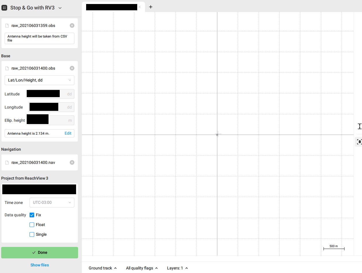
Stop & Go with ReachView 3
Stop & Go with ReachView 3 mode allows to average the points collected via the ReachView 3 app. The corrected coordinates will be saved in a separate CSV file and appear on the plot.
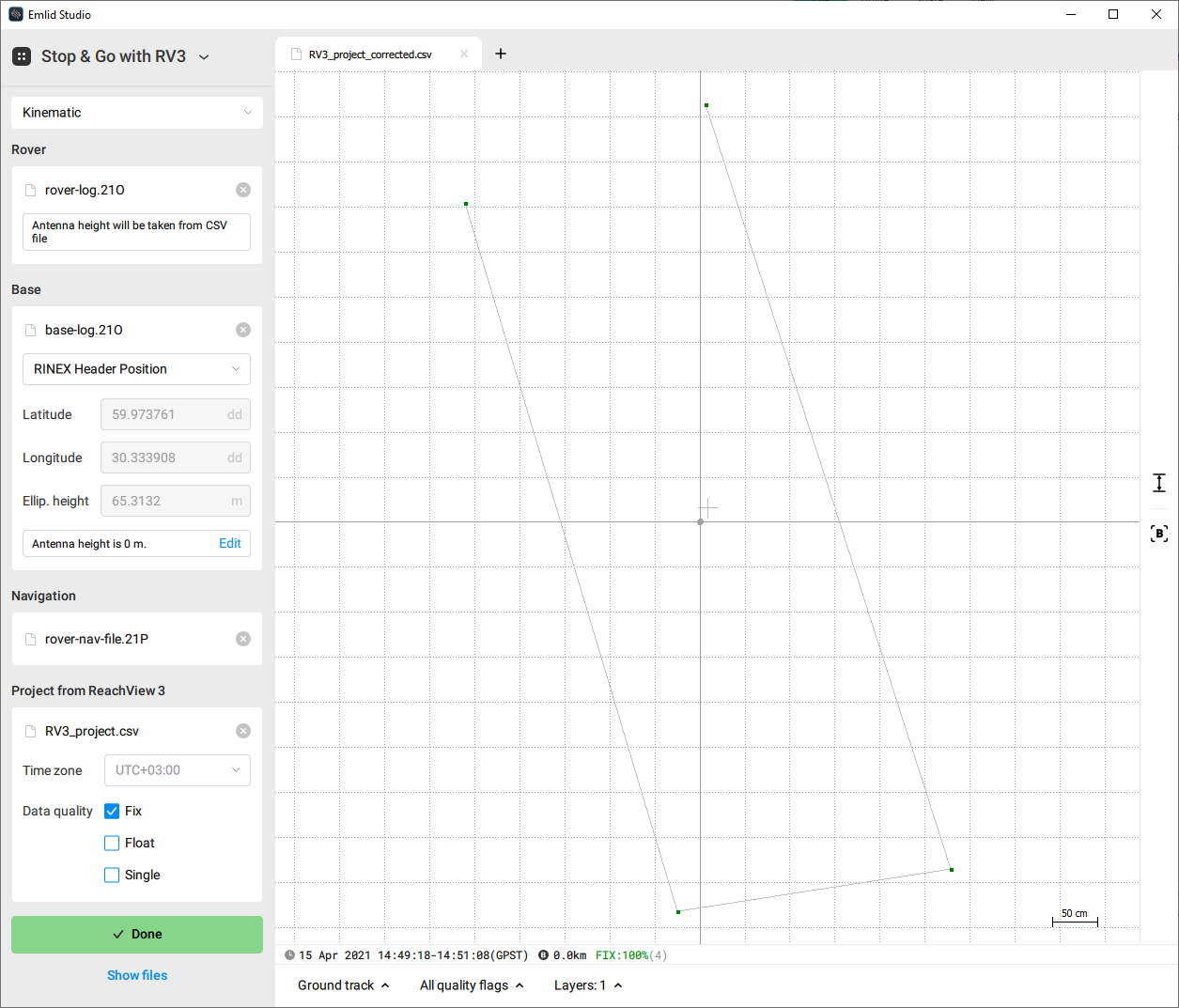
Using the Layers option, you can plot the positioning track and the collected points on the same canvas.
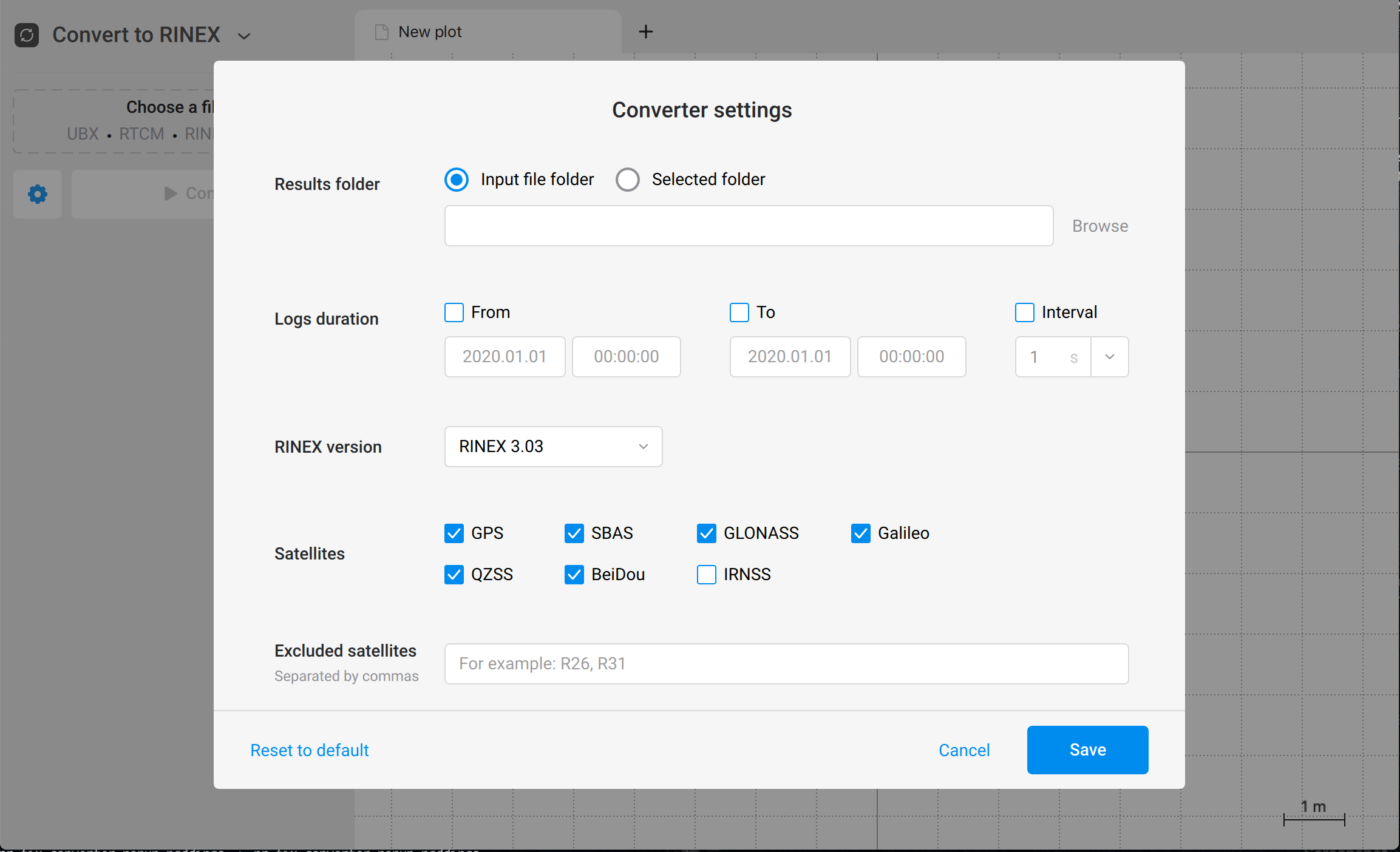
Convert to RINEX
If the background conversion with the default settings doesn’t give you sufficient results, you can use Convert to RINEX mode to tweak the settings and perform the conversion manually.
Where to get the app
You can download the app using these links:
macOS: https://files.emlid.com/studio/macos/Emlid_Studio_v1-beta-6.dmg
Windows: https://files.emlid.com/studio/windows/Emlid_Studio_v1-beta-6_Setup.exe
Check out our docs to get started!
Feedback
We still have a lot of work to do and plenty of features to implement. In the meantime, we are super excited to share the Emlid Studio Beta with you and look forward to your feedback!
We would appreciate it if you could try Emlid Studio and share your thoughts. Any comments and suggestions are highly valuable!