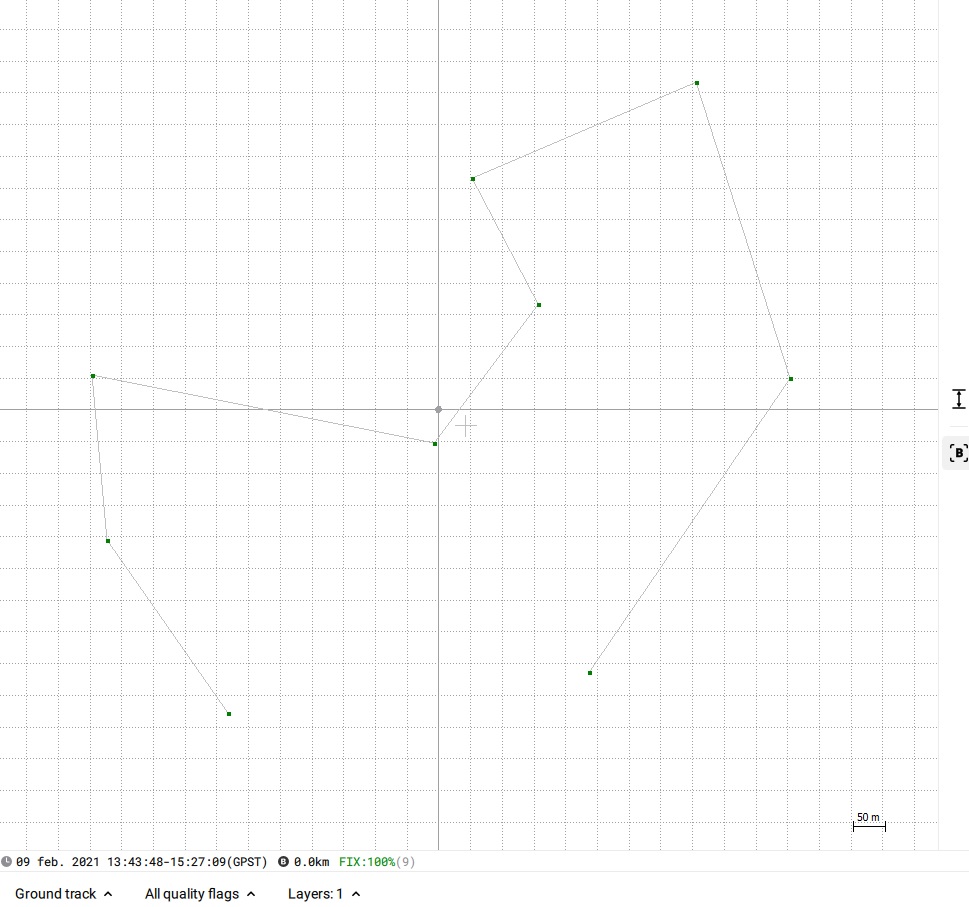
In S&G mode Emlid Studio plots only the “corrected” project CSV file. Why there are no points in it that’s another question. Could you provide the file for us to investigate the issue?
All these options are hidden behind the “gear” button in the left panel right next to “Process”:
Could you please clarify what options are you looking for? Are these the options you’ve mentioned in the previous point?
Los archivos descargados de estaciones permanentes tienen doble compresion una (.z) y la otra Hatanaka (.d) Antes de obtener los datos de observaciones gps (.xxo).
After installing and when I tried to run the program, I got a VC redistributable missing error but I have so many of those packages I couldn’t figure out why. After looking at all the installed packages, it turns out I was missing 2015-2019 x64.
I don’t know how tricky it would be to catch this in the installer and have a prompt telling the user which package to download but it would probably save some headaches for a lot of people.
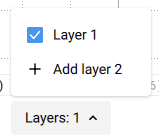
If I understand correctly, you’ve processed your logs in Stop & Go mode and would like to compare the resulting CSV with the original one or with the .pos file. If so, there is a Layer selector at the bottom of the plot where you can add a second layer and toggle them on/off:
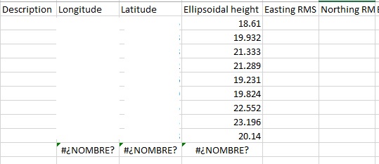
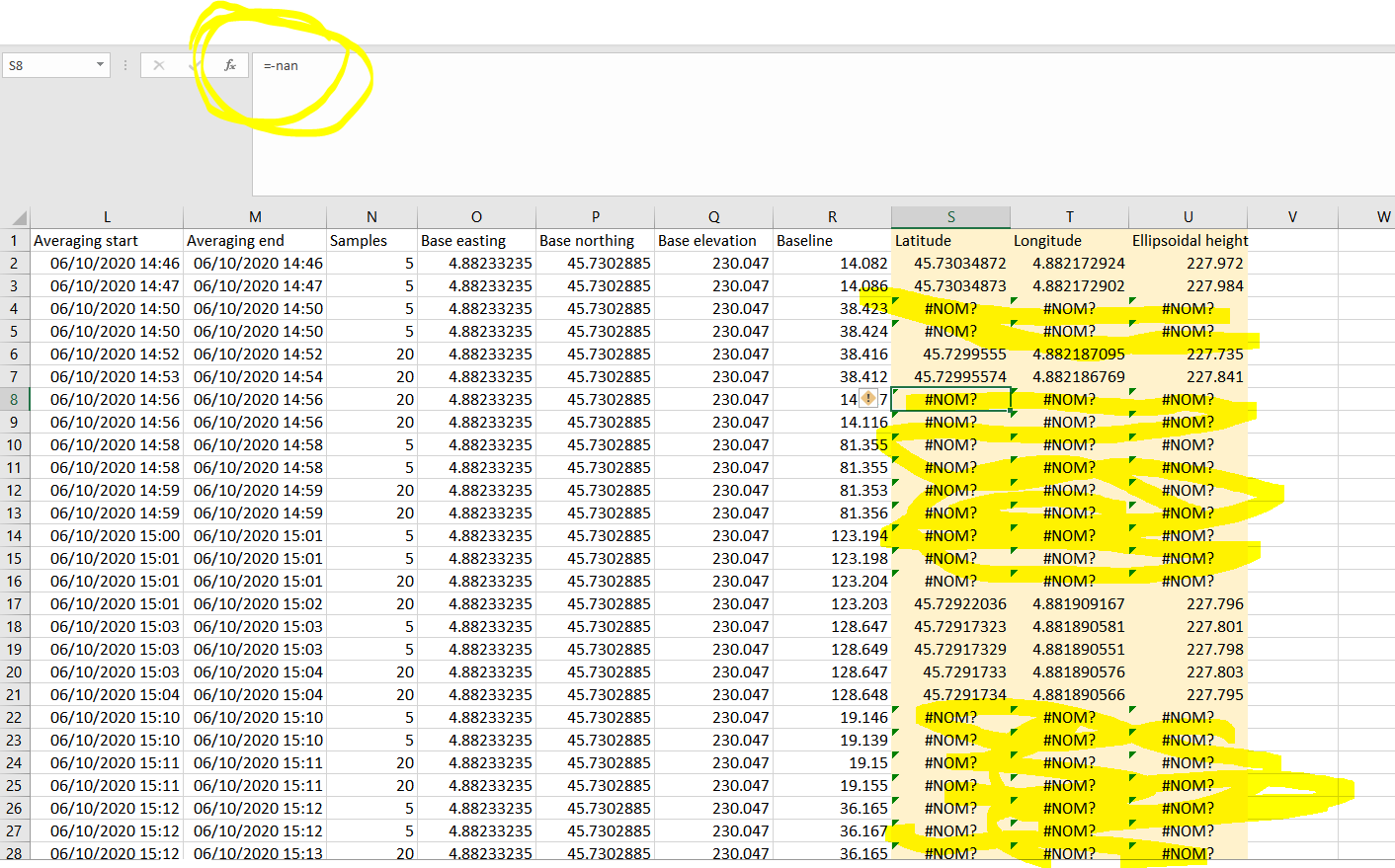
If I open the “corrected” CSV generated, there is one point that has no coordinates, it says “#¿NOMBRE?” (name).
Processing the files that I send you, there are points with this same text #¿NOMBRE? in the corrected generated csv file. The value for those cells is =-nan. Do you know what does it mean?
Thank you!
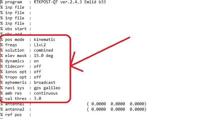
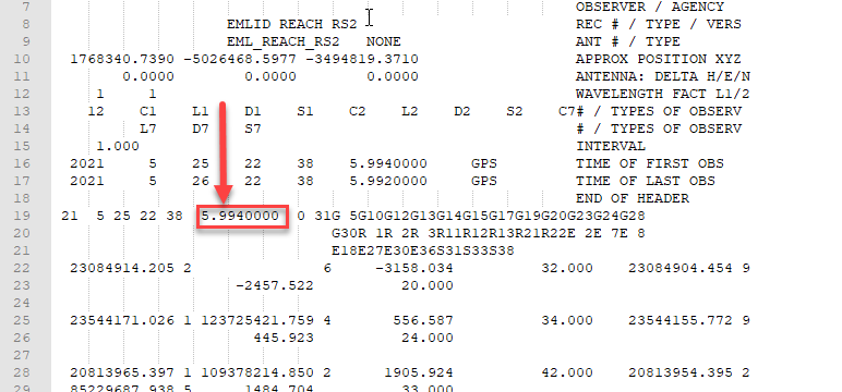
I mean the parameters with which it is processed. When I process with Rtkplot I can see them in the *.pos file, but can’t see them in the *.pos generated by Emlid Studio:
Hi @svetlana.nikolenko,
For Stop & Go, do I need to use ReachView3 for survey or can I collect the points/export as CSV using ReachView2? Also, does it matter if I use Kinematic or Static? If I am collecting GCP points I’d figure I would need static, not kinematic
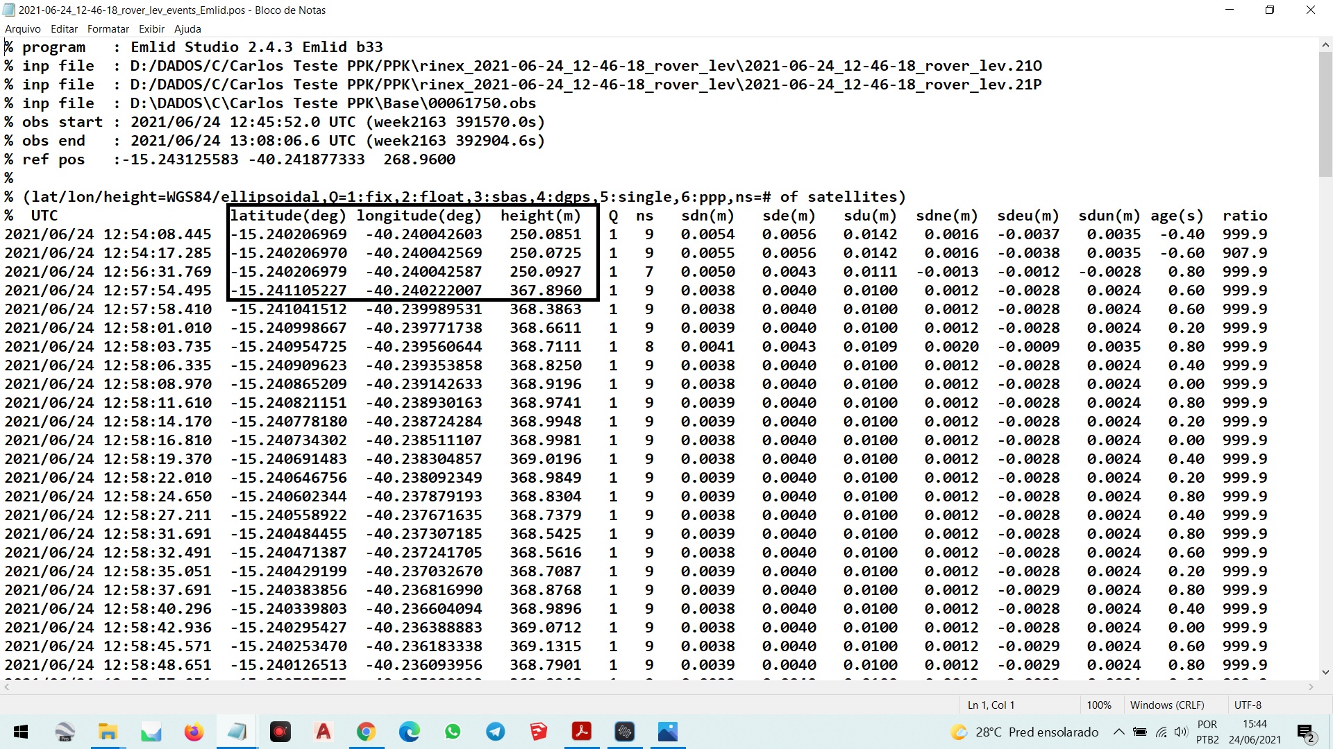
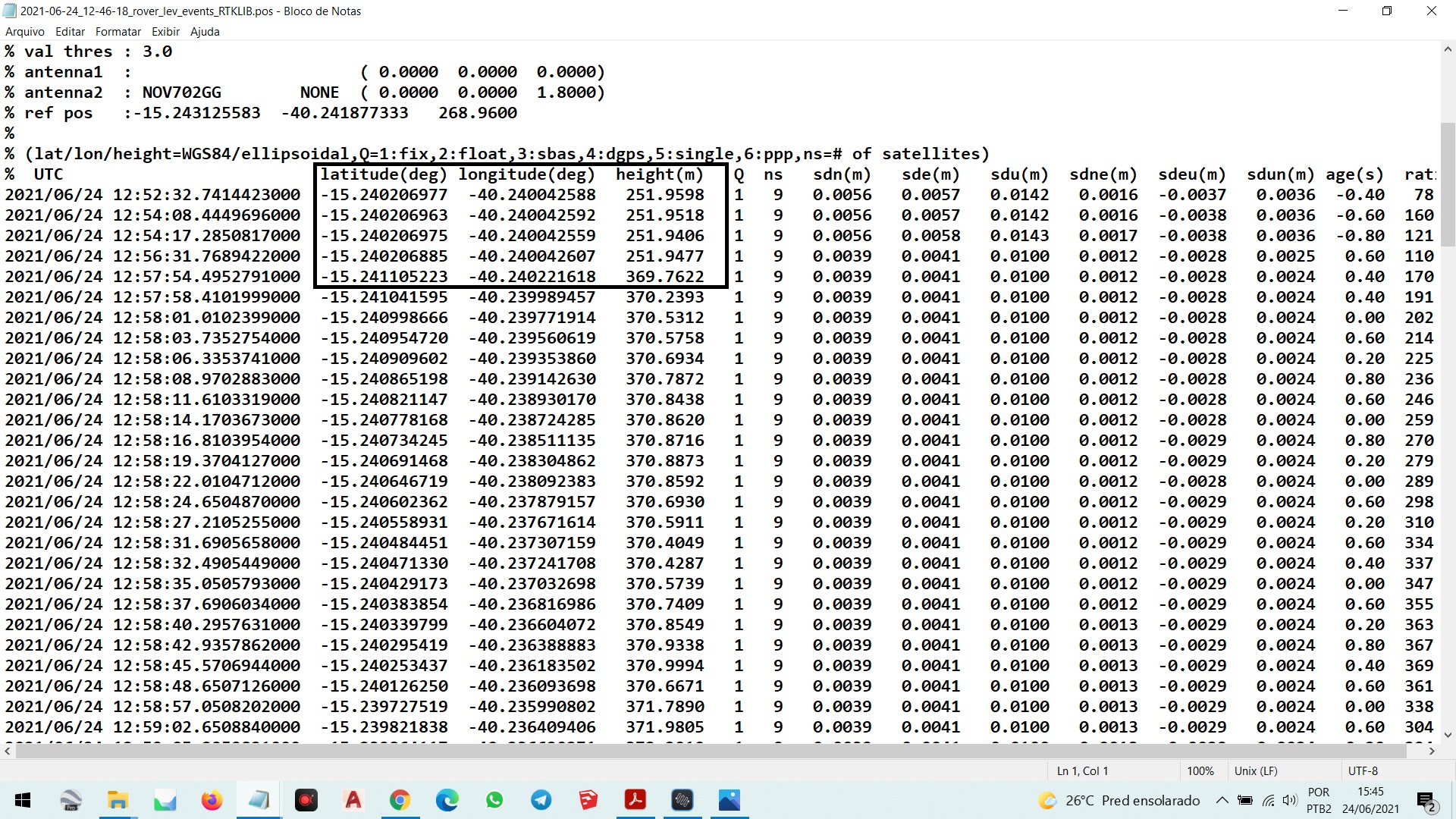
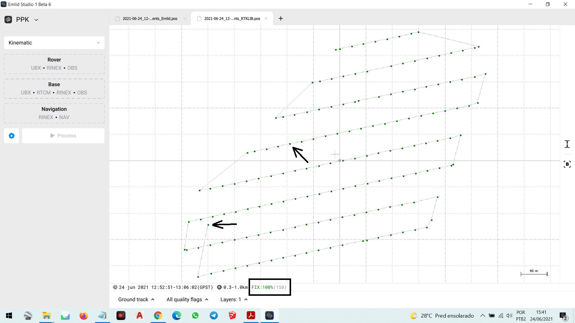
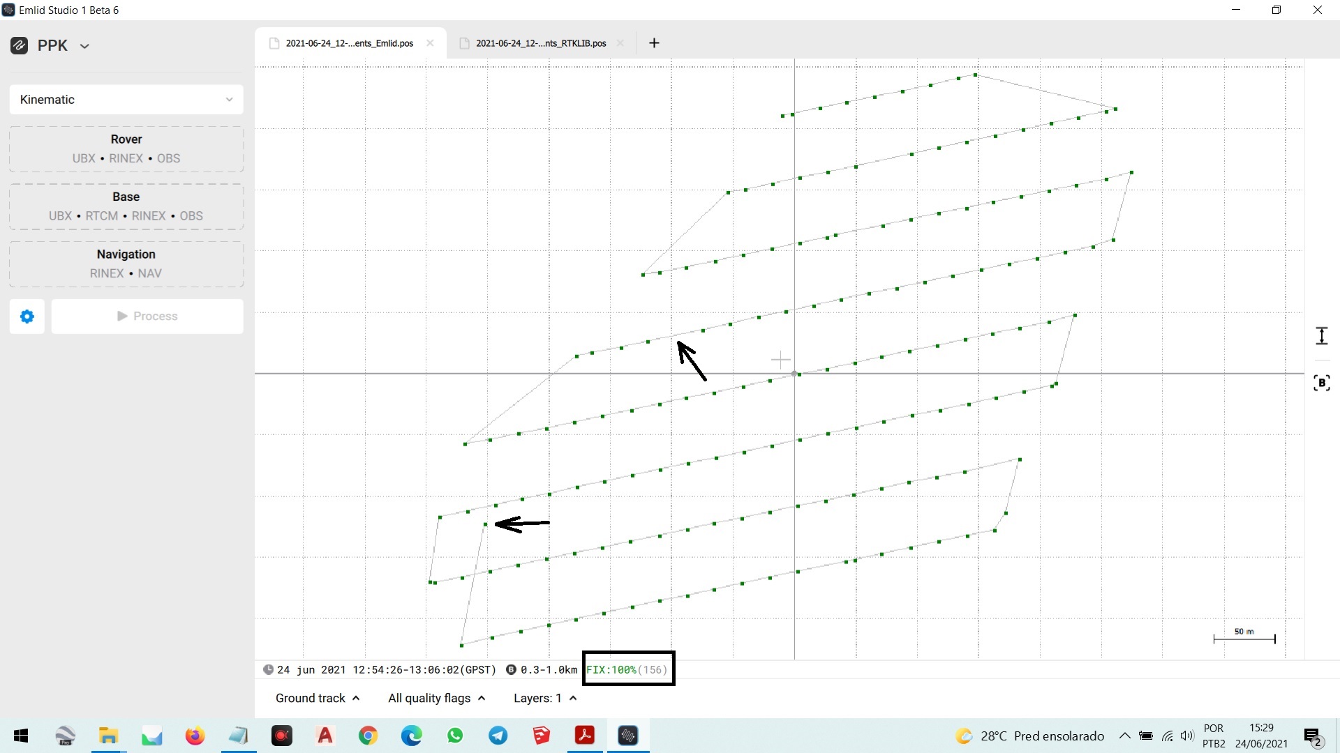
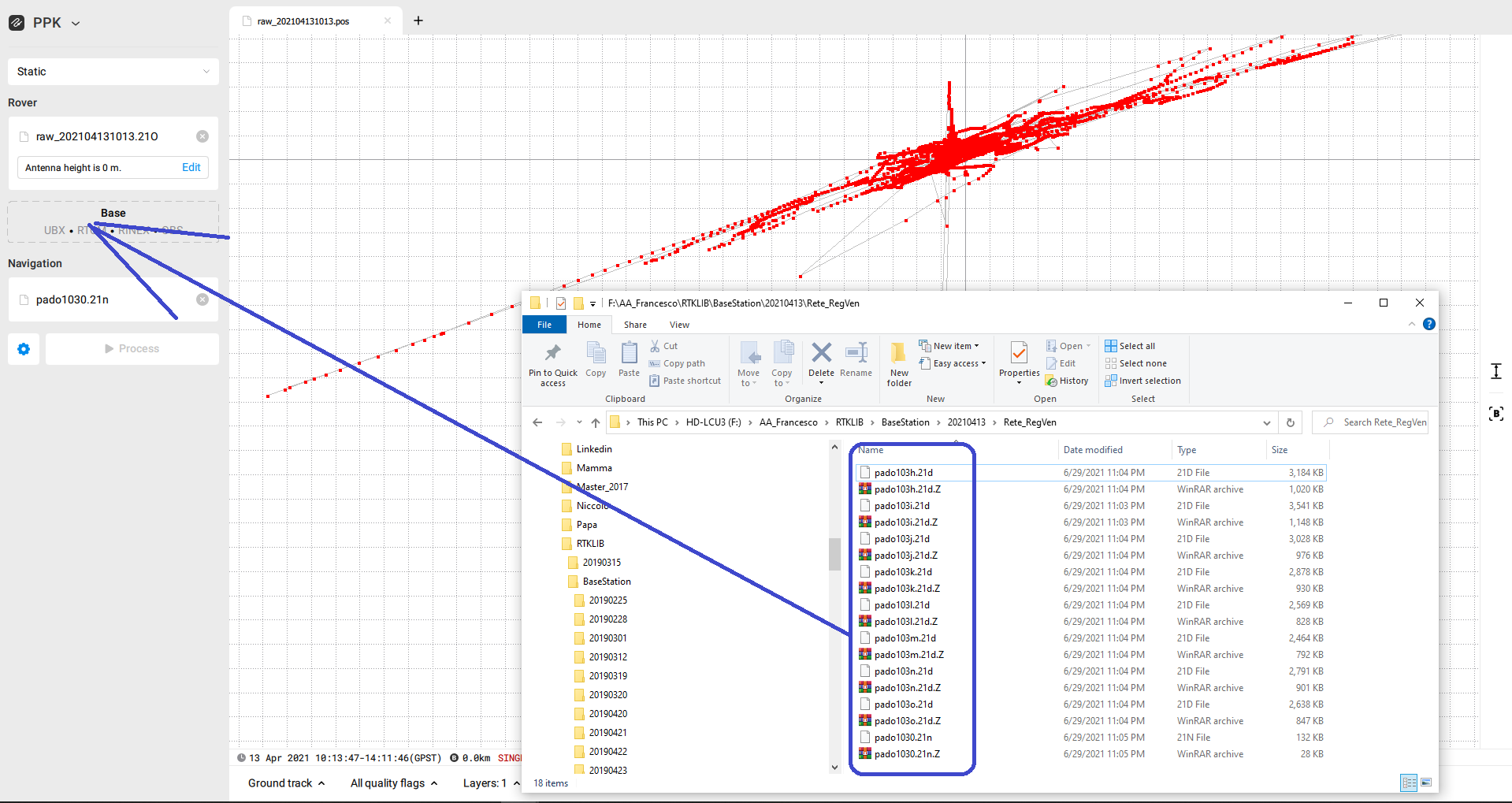
Hi ivan.smirnov, I processed the raw data (PPK) using Emlid Studiuo and RTKLIB Version b34b and there is a difference of two coordinates that Studio didn’t process, follow the pictures for you to check!
Hello everybody
same to me
when I compare csv with stop & go post processing, some records (in stop and go) return -nan values (whereas in rtk csv file those records gave me lat/long position values)
Me refiero a los parámetros con los que se procesa. Cuando proceso con Rtkplot, puedo verlos en el archivo * .pos, pero no puedo verlos en el * .pos generado por Emlid Studio:
Yep, I miss this options. This allows a better result in RTKLIB is possible load to *.ATX, *.BLQ, *.ERP and GNSS orbit *.SP3. In some time for a good results, I’m used tropospheric model for PP also.
I hve a doub. In RTKLIB, when I convert the *.UBX, the time in the row of seconds, I can to show my decimal place rounding. How I can the rounding in Emlid Studio Beta?.
Hi
I tried to pos process a static acquisition done with the OLD Reach (L1) but when I tried to upload the rinex downloaded from base station (http://147.162.229.63/Web/page.php?pid=showgps&gid=2&chain=6) the tool didn’t recognize the format