@bide tests out the Reach RS + backstory

for the TL;DR crowd - head to the bottom of this first post

Hello everyone,

and thank you for coming to this meeting. I do appreciate your support.

As you know, I am a recovering Reach addict. It has been 3 days since my last RTK. And recently I have found myself addicted to the stronger, more powerful, and attractive Reach RS.

I don’t know what it is about the RS, but I just can’t put it down and walk away.

Now, if the group doesn’t mind, I’d like to tell my story:


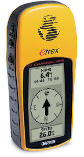
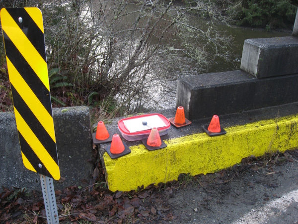
I am a land owner (or maybe better stated as a mortgage-payer). After taking on the debt-load for this land, I was eager to find out exactly what I was getting for my blood, sweat and tears. So, for the first while, I was happy tromping around the land with a hand-held Garmin GPS looking for iron pins in a 2.5m to 9m search area at each of the property corners. There are many corners, because of the complicated nature of it all.

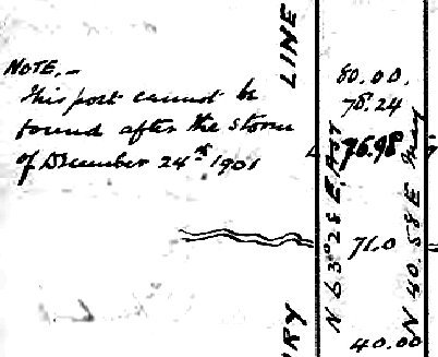
The first problem with that system arose when I realized that some corners did not have iron pins at all. They were surveyed in the 19th century (130+ years ago) by adventurous individuals. Cedar posts were in common usage as markers, and possibly a cairn of rocks, or three pits and a mound.

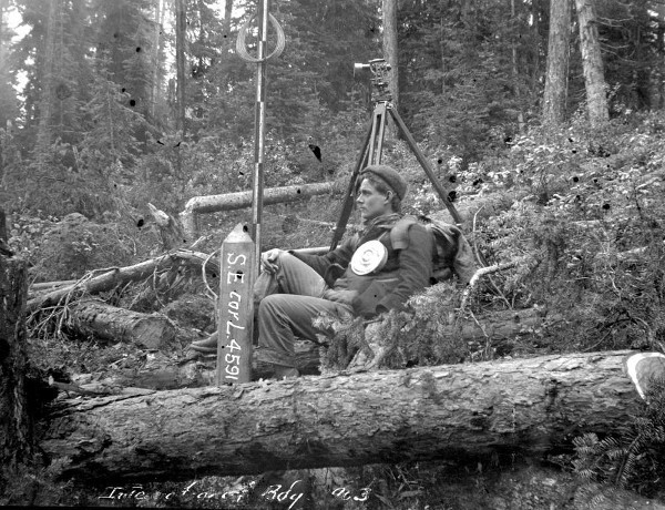
My neighbours and I are in a mostly undeveloped area, and we have a common interest in the whereabouts of these old boundary lines. So, with their help, and with some professional advice, I have set out on a project to learn the techniques of the land surveyor and to retrace our historical boundary lines and compile evidence which may assist in reestablishing the many lost corners. Corners which were lost due to erosion, weather, humans and animals, but mostly logging operations and the decay associated with the passage of time.

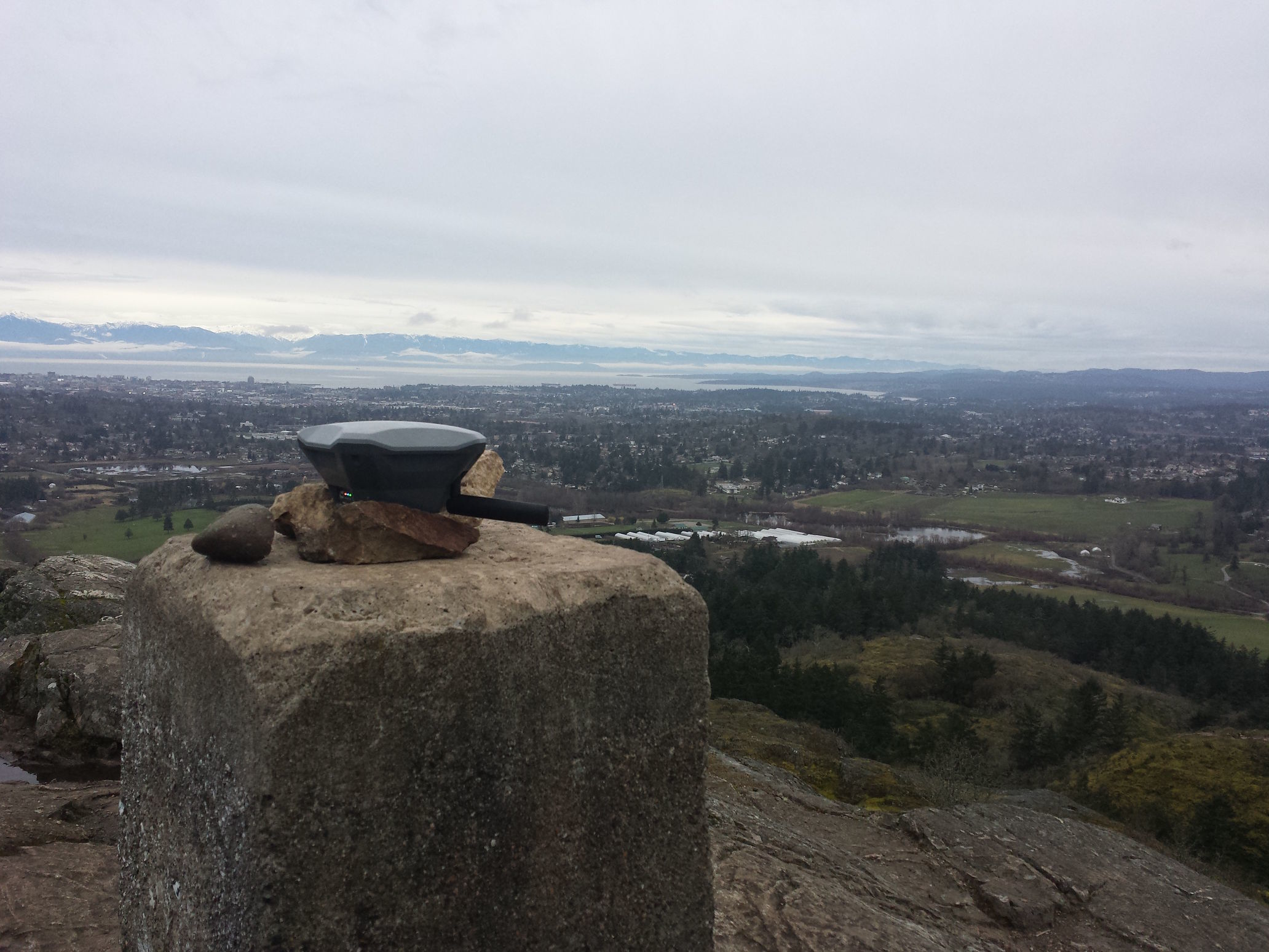
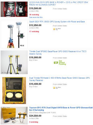
This brings us to early 2016, when I realized that I needed to accurately measure points in an area of several km, up to a max of 26km. It was then that I started searching the globe for an affordable GPS; something of “survey-grade” accuracy, but I had to find something more affordable than the $10K to $100K USD price tags that my search terms were producing.

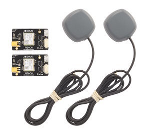
Emlid appeared on the radar as the top choice with the (then) newly released Reach GNSS RTK kit. The low-cost DIY style exactly fit with my needs at the time.

As with all things DIY, you need to apply a little creativity to make these kits work reliably outdoors and in the weather. I started with a plastic storage container for weather resistance and a piece of leftover sheet metal for a ground plane.

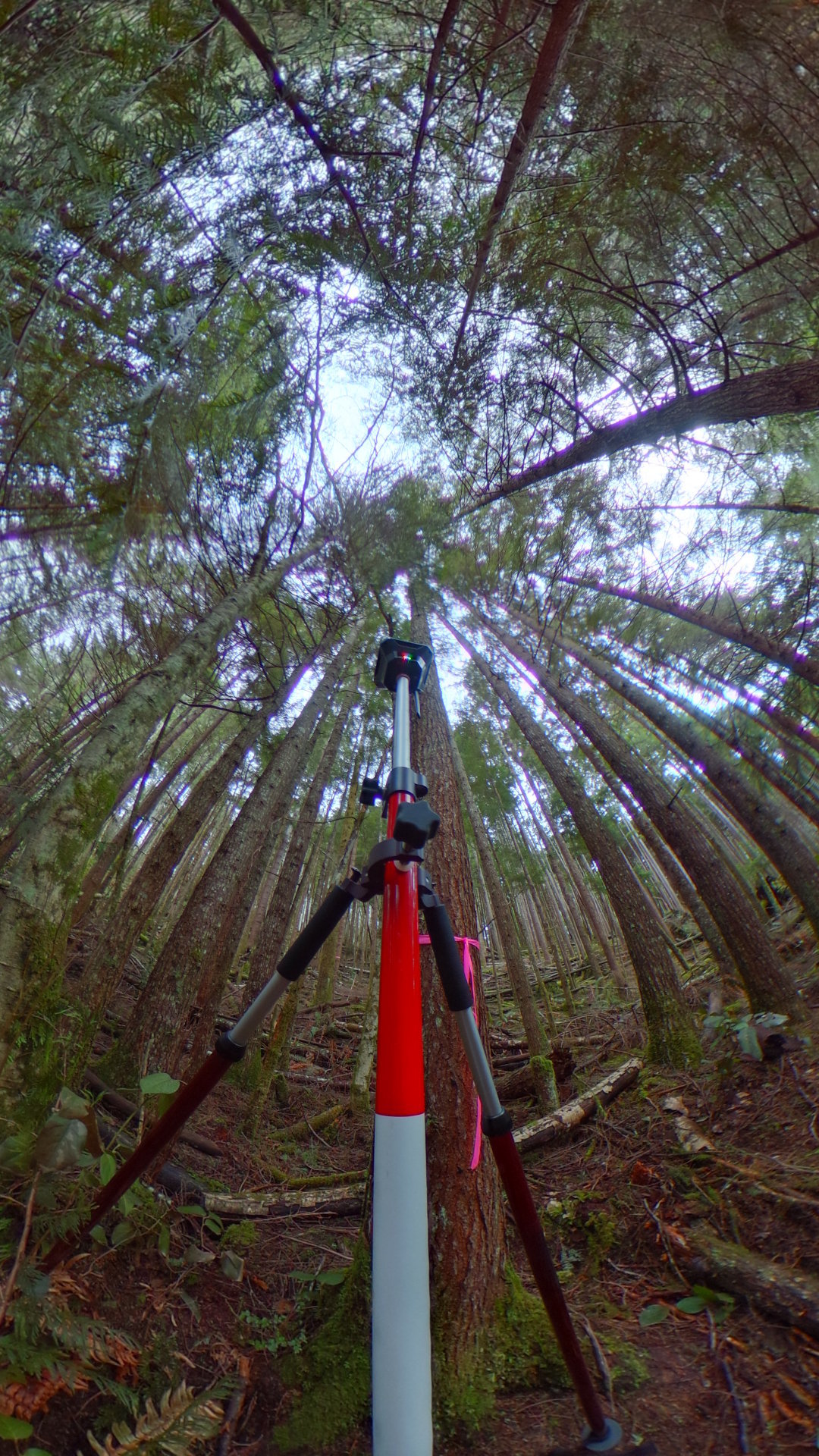
Then I moved on to an upgraded antenna and a weatherproof container of plumbing fittings with proper fitment to a 5/8" thread survey tripod and precision cut circular ground plane.

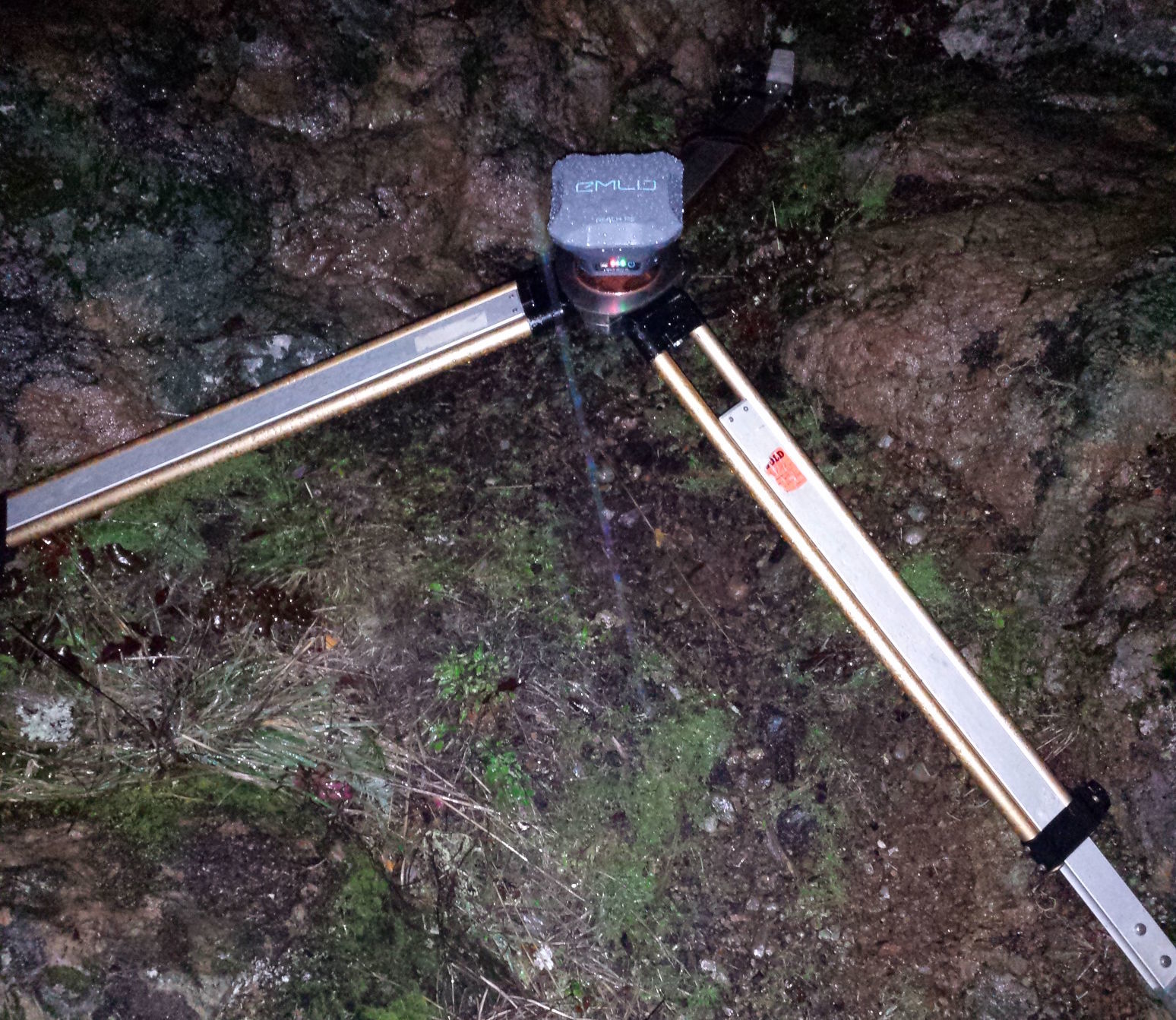
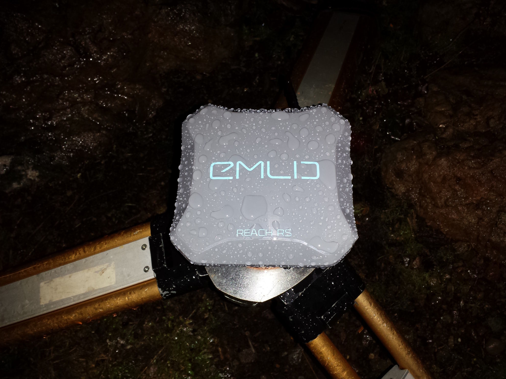
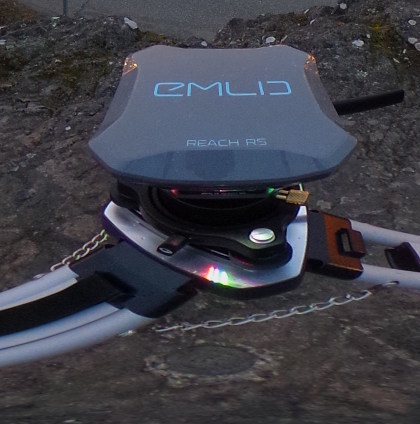
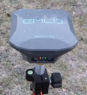
Fast forward to 2017 and the release of the Reach RS where DIY is a thing of the past.

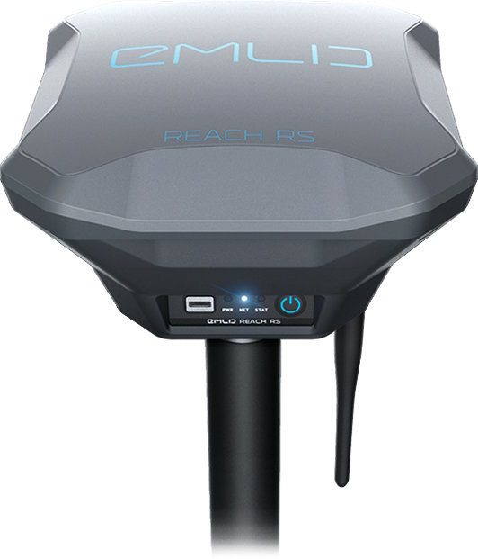
Now, along with the features of the original Reach module, Emlid has added:

  • internal LiFePo battery
  • upgraded antenna
  • reliable LoRa radio
  • strong, waterproof polycarbonate housing
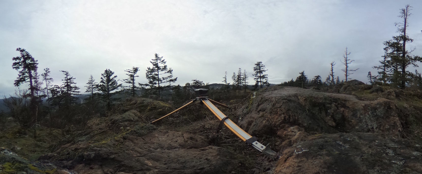
  • mounting options for both tripod styles:
  • survey tripod 5/8" thread
  • lightweight camera tripod 1/4" thread
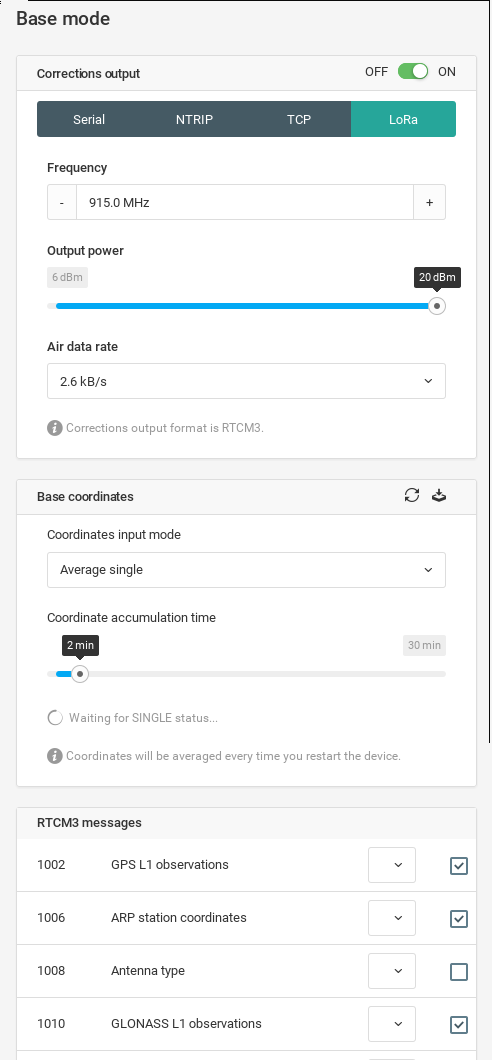
  • not to mention the new user-friendly ReachView 2 software which has been rapidly gaining new features

Myself and a few others have had an early opportunity to test out the Reach RS. For full disclosure, these were gifts from Emlid and they came with no strings attached. We were asked to use and enjoy them and told that Emlid was interested to hear any feedback we cared to provide.

It is a fact that I(we) have provided feedback and it is also a fact that some (very minor) hardware changes have been made to the production models based on my(our) feedback. Software too, but the whole of the community is using the same ReachView 2 and all of us have already been actively providing feedback for it.

To date, not a lot has been shared with the community yet about actual usage of the RS, and we’ve sort of gravitated to keeping to ourselves about it, but it’s about time to let everyone in on our experiences with RS. For one, it is very satisfying to know how eager Emlid has been to make improvements wherever possible. I can honestly say to myself that I would not hesitate to order the same Reach RS pre-production model that I have today, and therefore I can also say to you that I would certainly not hesitate to order the production model.

So, if you have been thinking about purchasing L1 GNSS units but have been sitting on the fence about the Reach RS , then now is the right time to pull the trigger and get them on the way.

If I didn’t make it painfully obvious already, that was my totally unsolicited sales pitch for the RS to help free you from any indecision you might have. Come! Join us!

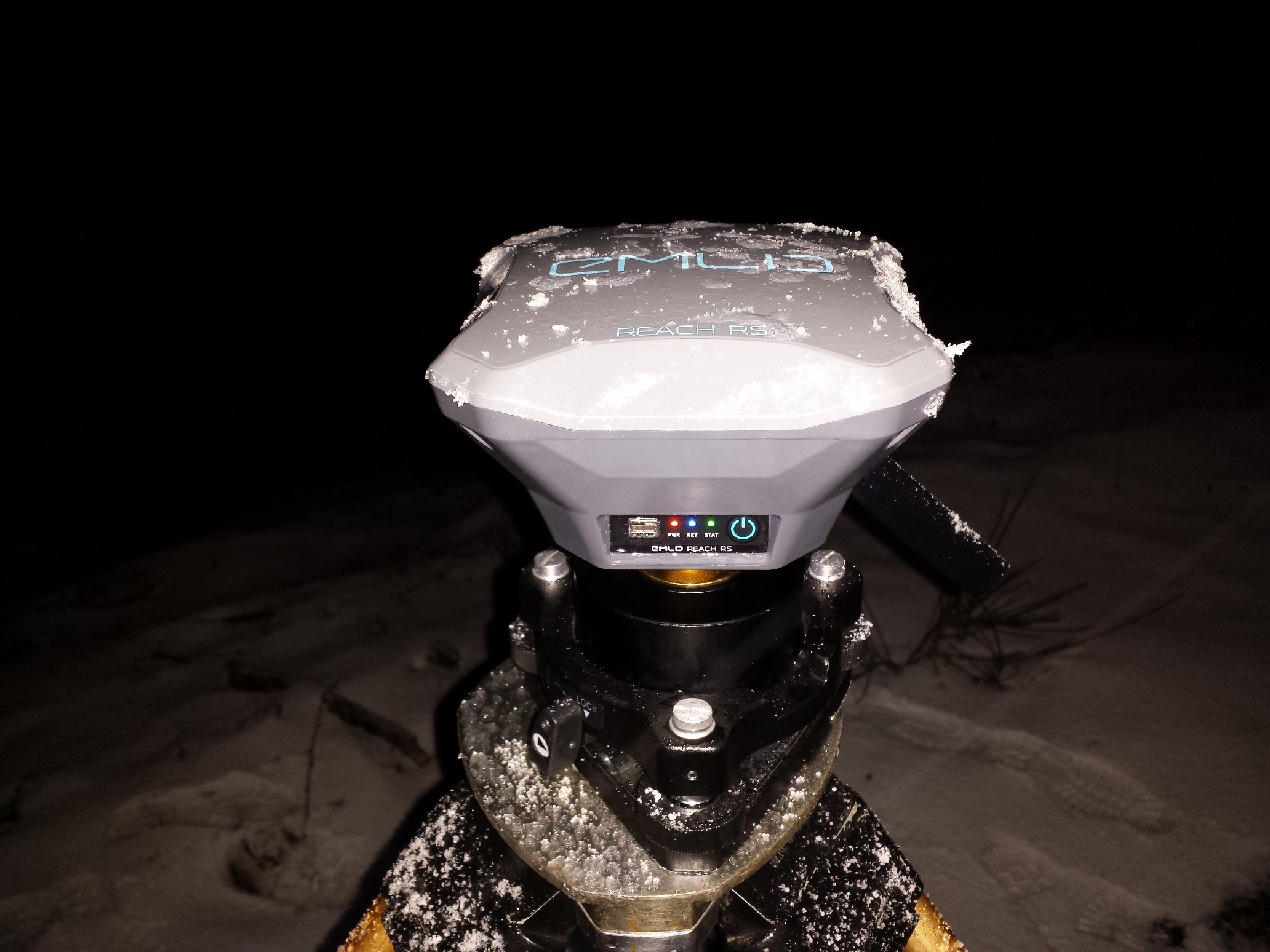
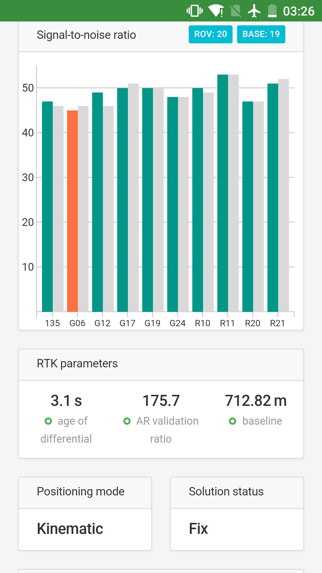
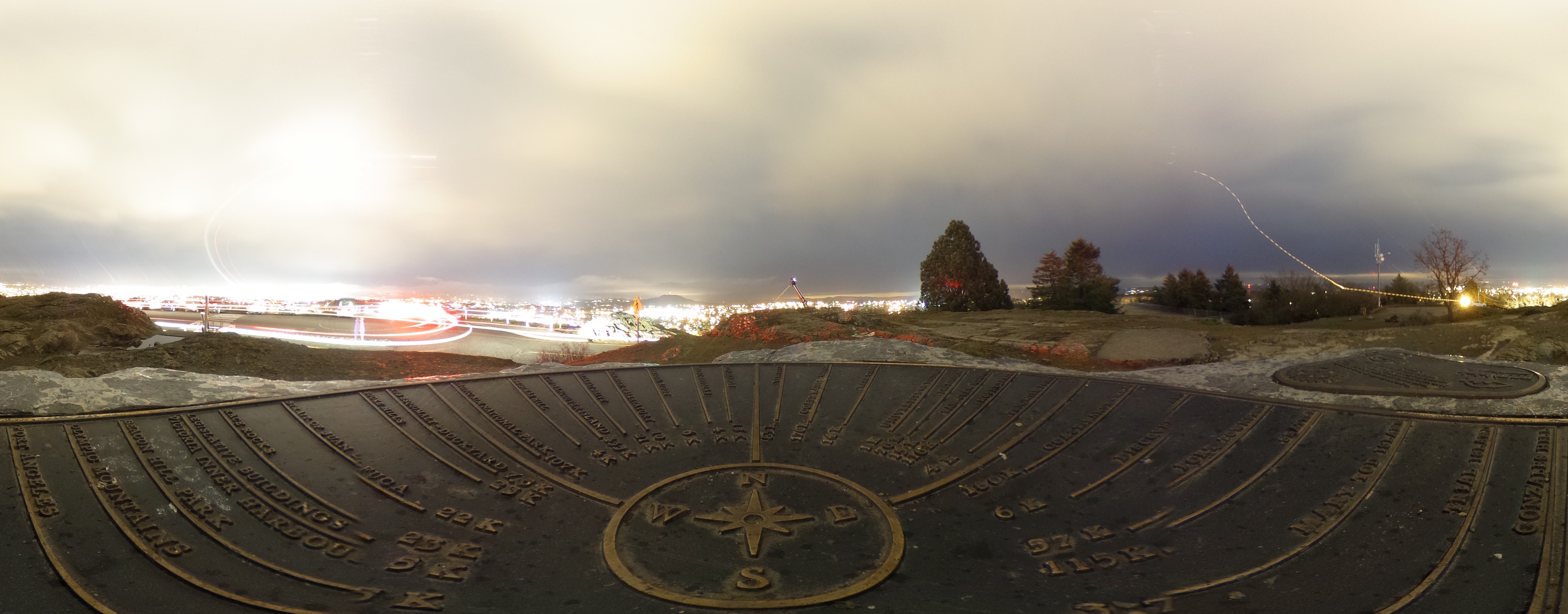
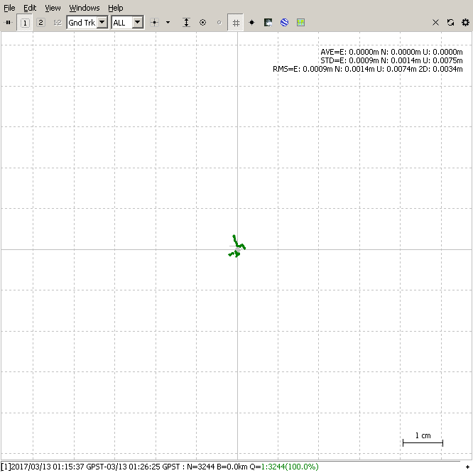
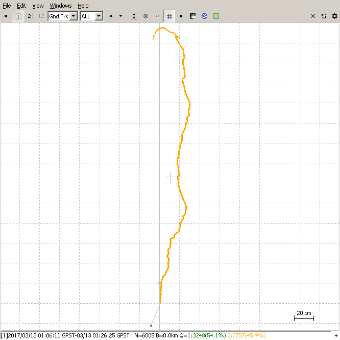
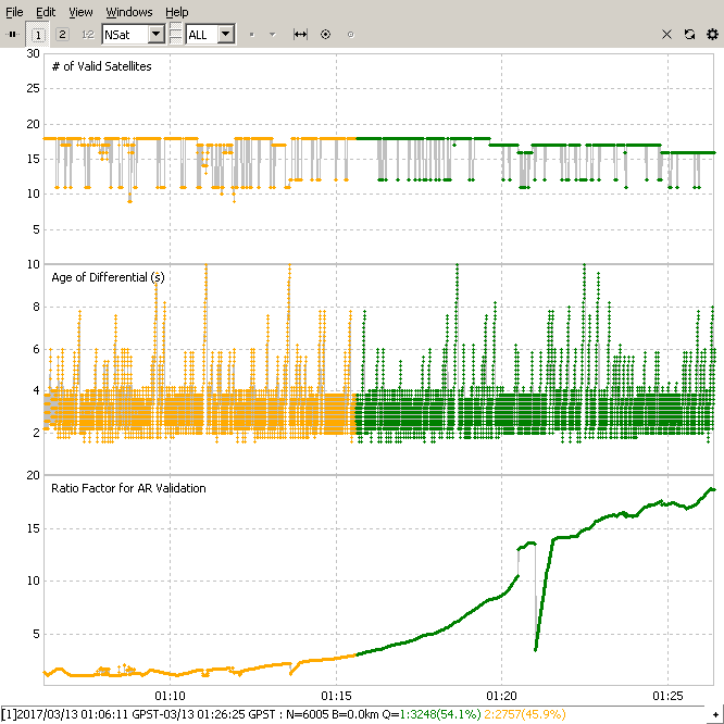
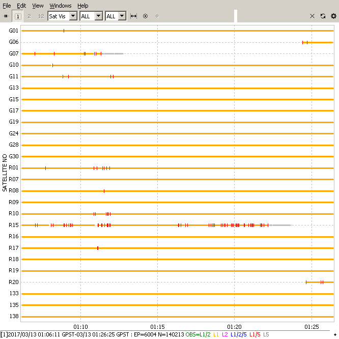
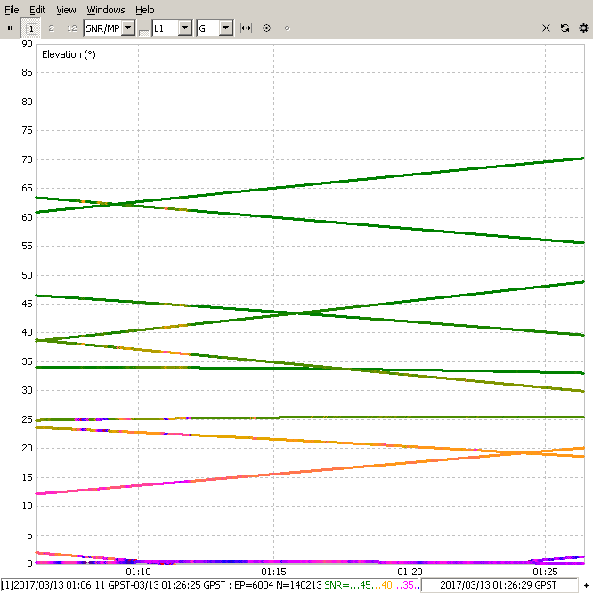
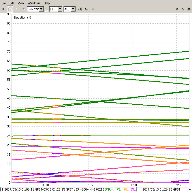
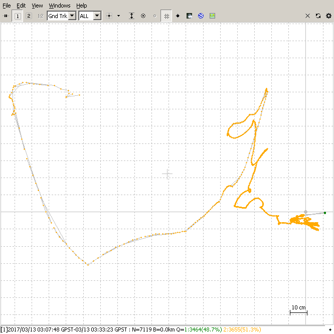
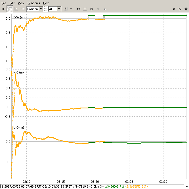
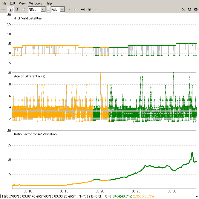
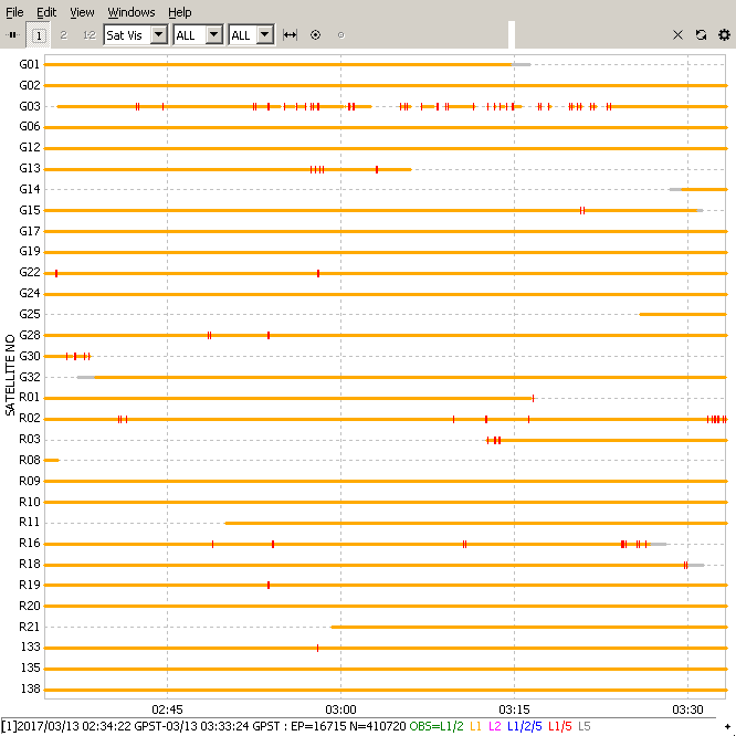
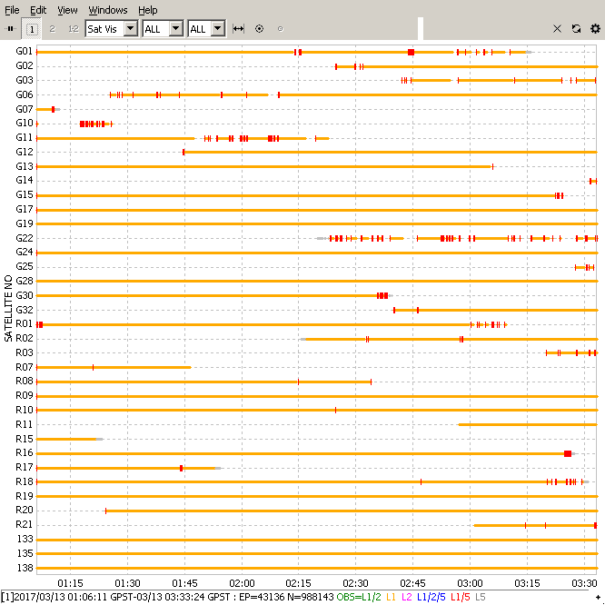
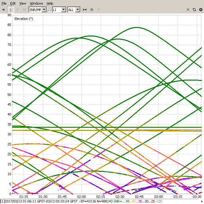
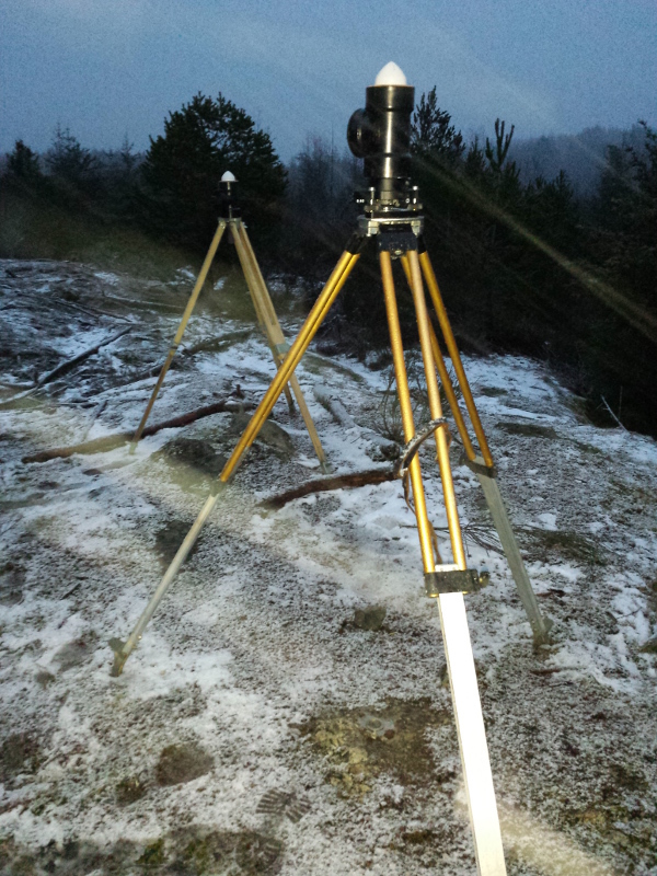
I pulled a 27 hour log off this RS unit on Monday after it sat outside in freezing temps, snow, sleet and small hail.

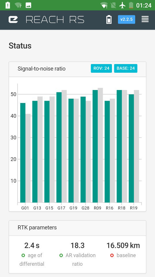
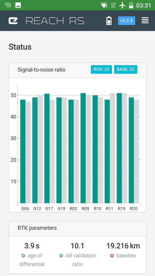
Stay tuned for more detailed info on the RS user experience…

14 Likes

The results of some elementary LoRa testing with obstructions:

  • although there was line-of-sight over the land,
  • there was considerable obstruction because it was in a rural area with many trees;
  • no radio dropout observed until past 1km;
  • max usable range was 1.25km under these conditions.
    (please note that these radios are proven to much farther distance under better conditions)

    (ReachView screenshot was taken in less obscured area. In this area heavily obscured by forest, 20min gave std deviation of about 20cm which was good enough for the particular purpose. Longer occupation may have produced better result.)

On this particular day, 2 ReachRS units were used in the manner described below, so that one could take advantage of a unit at an initial known location. Then use that to produce a temporary base coordinate for a second unit that is placed at a point for optimum radio coverage for the work area.
  • Unit #1 was placed on a known location as a base.
  • Unit #2 was was placed at a point which was within line-of-sight of the work area.
  • After a few minutes unit #2 switched from float to fix, and then started averaging it’s fix for 2 minutes to determine coordinates for use in base mode.
  • Unit #2 was then switched to base mode using the new coordinates.
  • Unit #1 was then switched to rover mode and taken from known location and moved to work in the area near unit #2.

This method was made possible and easy with new features available in ReachView 2.


Additionally, here is some mundane, but useful info on the 49 second power on* and the 13 second power off sequences of my Reach RS.

The power-on sequence:

  • 0sec: hold power button minimum 0.5 seconds to power on
  • holding 0.25 seconds is too short to power on. This prevents accidental power on.
  • 11sec: amber PWR and blue NET LEDs on
  • 24sec: 'USB over ethernet" is registered and ready for use
  • 28sec: amber PWR and green STAT LEDs on
  • 37sec: amber PWR and green STAT LEDs on and blue NET LED blinking;
  • 49sec: amber PWR and green STAT LEDs on and blue NET LED pulsing; boot up is now complete (in hotspot mode)
    *note: boot may be quicker outdoors and with wifi in client mode

The power-off sequence:

  • 0sec: hold power button minimum 3.5 seconds for power off
  • holding 3.25 seconds is too short for power off. This prevents accidental power off.
  • 3.5sec: amber PWR LED flashes
  • 5sec: LEDs off
  • 13sec: all LEDs quick flash; power is now off

software used: ReachView v2.2.5
6 Likes

Is that flat ground area?

1 Like

Not totally flat ground, but pretty flat (but with lots of trees!).

I will endeavour to test the LoRa in a more open area to demonstrate the longer range RTK. The same goes for the Position results. I do have some results that I wanted to share, but logged them in ERB format, so I will just capture another data set later in LLH format to make it easier to show.


obilgitory pic:
5 Likes

LoRa testing today. Last time there were some significant obstructions and range was limited to 1.25km. Today was all about clear line-of-sight. The base was placed high up on a mountain. The rover went to two smaller mountains.


The base station: Base set super low to the ground on mountain top to avoid detection by passersby and to try to avoid theft. It didn't rain the whole day, but for a few hours it was raining pretty good. RS units are definitely waterproof.
Now we head off and bring the rover to mountain 1: Rover hand-centered over "brass bolt" embedded in concrete pier. Rocks used to stabilize the RS against the wind. 16.5km baseline! Impressive! Way to go LoRa!
OK, off to mountain 2 now:

RS rover can be seen on tripod in the background. Center of picture, a little east of north.

Now we’re talking! 19.2km baseline! That was beyond my expectations! :muscle:


My settings for today were (click to see the whole picture): **BASE**

ROVER


Not shown in the picture above are the message frequencies:

  • 1002 (GPS) 0.5Hz
  • 1006 (stn coord) 0.1Hz
  • 1010 (GLO) 0.5Hz


In conclusion: a great day; the LoRa radios performed extremely well. :thumbsup::+1:
11 Likes

Continuing from the previous post about long range LoRa testing. Many pictures, few words. Here are the results of the RTK from that day, courtesy of RTKPLOT.


**mountain 1:** RS rover; baseline 16.5km

This is just the fix.

This is the whole thing (float and fix).

I believe the band of bad reception between 01:10 and 01:15 is due to a camera (with it’s Wi-fi on / or maybe poor RF shielding?) sitting right beside the RS unit.


**mountain 2:** RS rover; baseline 19.2km

This is just the fix.

There is also a band of bad reception between 02:45 and 03:00 and the same camera was set up right beside the RS unit again.


**mountain 0:** the RS base station


programs used:
  • to convert observations to RINEX: rtkconv_emlid_b27.exe

  • default configuration other than these options:
    RINEX Version: selected 3.03 Satellite Systems: checked GLO Frequencies: unchecked L2 Format : selected u-blox

  • to visualize observations and solutions: rtkplot.exe

  • default configuration other than these options:
    Show Statistics: switched ON Cycle-Slip: selected LLI Flag Satellite System: checked all

5 Likes

A post was split to a new topic: Can Reach help with property subdivision and site layout?