From my (or a developer’s) perspective, I’d say maximum value would be enabling custom lists created by the user.
There are simply too many standards across different domains to have a single master list of codes.
So, a user-managed list would be optimum, with the ability to put in custom codes on the fly (sometimes we encounter strange things for which there are no codes… )
Not sure what you mean when you refer to systems being projected.
We’re referring to columns in tables of data, where one column is simply a short code ('CODE"= 4 chars usually) and the next column is a simple plaintext DESC (Brief written description of the CODE)
This has nothing to do with coordinate systems or projections.
As all coordinates are tuples, these two columns are simply an addendum to the existing database… (with CODE being inserted prior to DESC and DESC remaining as it currently is)
I think it would be interesting and useful, if possible, to be able to add some kind of “time mark” (as in ReachM+/M2 for mapping), where you can have the start and end time of each point measured in Reachview3.
And that when post-processing with the RTKlib you have an “event.pos” file with the PPK points.
In this way, we would always have the possibility of post-processing the points, in case the RTK fails or if we have doubts with any point.
I have been using “PPK point extractor” for Reachview 2 but would be great if Reachview 3 had something similar without using an external program.
thanks for ReachView 3. I’ve used the Beta before and was already very content, esp. with the ability to select the coordinate system and the height. I tried today the new not beta and was disappointed because when selecting the coordinate system for me in Bavaria, Germany, which is ETRS89 UTM Nord 32 or 33, the height system DHHN2016 is gone. It was previously available in the beta.
Having the right coordinate system and the height will save a lot of time for post processing which is obsolete then!
TIA for correcting this as soon as possible.
Having looked around my measurements I dicovered that DHHN2016 was gone between the 8. and 10. December - if this information is helpful. When creating a new project the settings of the last one are copied to the new one and at the 10. December the height system wasn’t copied.
Hello thank you for the many new features in Reachview3. This feature is described "Autoconnect to the only Reach in the network If only one receiver is found, the app will connect to it automatically. This comes handy when working with the Wi-Fi hotspot created by Reach."
Is this feature working? I imagine it scans the entire local network for appropriate devices.
I connect our system to a variety of personal and business wifi networks and RV3 will not locate it on the host Wifi network. I have to find it by looking at connected device IP#s.
Steps taken:
access ReachRS2 at 192.168.42.1 and sign it into the wifi network using credentials
Sign Android phone running Reachview3 into same network with same credentials
In Reachview3 look for ReachRS2 on network. No luck.
I find my ReachRS2 consistently if i use my phone hotspot. If i have admin access to 192.168.1.1 I can see it in the list of Connected Devices and access it over the IP# and use Reachview2 on the device.
Are there router security settings that are known to interfere with Reachview3 locating the device on the local network?
This is great work by the development team. Really takes it to the next level. I believe most of these have been said, but wanted to list some suggestions for the next update.
Easy Description input
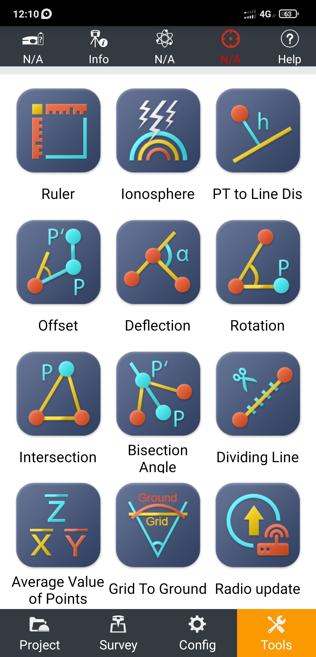
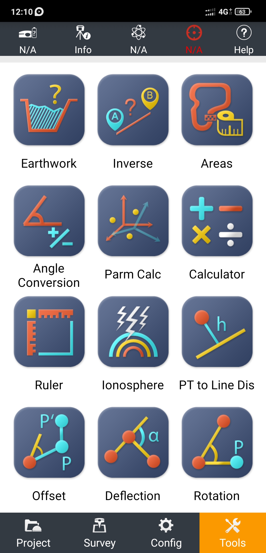
Linework corresponding to Descriptions and specific special codes. (similar to SurvCE)
Inverse, and other COGO commands
Manually entry of points for stakeout. (it helps adding points on the fly in the field)
On a side note I just ordered another unit and have become a sole RS2 user. This updated was a big selling point for it. Keep it up.
Unfortunately, we’ve had to remove the DHHN2016 height datum due to licensing issues. We are currently in contact with BKG to bring it back. Bringing back support for German heights is one of our priorities right now.
Some routers have a special option that forbids zeroconf (mDNS) scans in the LAN by default. If you have access to the router’s admin interface, could you try and look for it?


 )
)
 Thanks for the discussion!