I’ld like to better get used to RTKLib and understand/interprete it’s output.
(Main reason is I hope to do some additional tests to verify signal quality, as advised in Cycle slips? or not?)
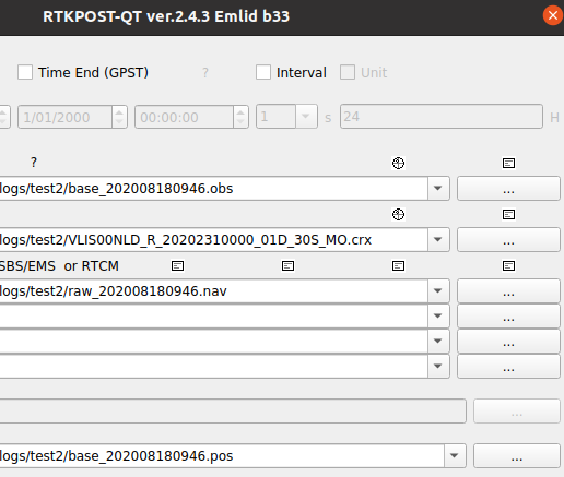
I tried various sessions of postprocessing with different parameters to at least get similar results like other kind people who are helping out. For some reason, I often seem to choose sub-optimal settings.
Question1:
How to choose correct settings? Is it based on experience and interpretation of the setup/signal quality, or is it just trial/error/choose the ‘best’? (or reject what’s definitely wrong)
(Lately I’ve seen better results (fix-ratio) with L1-only vs L1+L2)
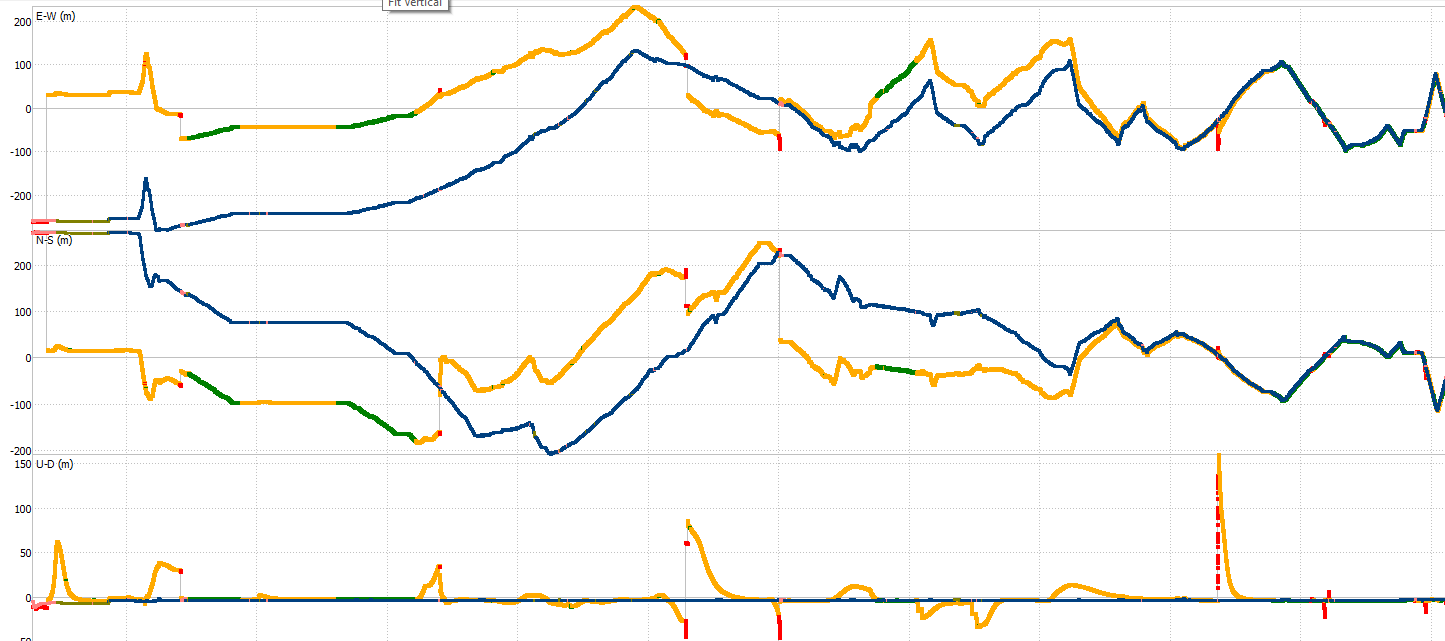
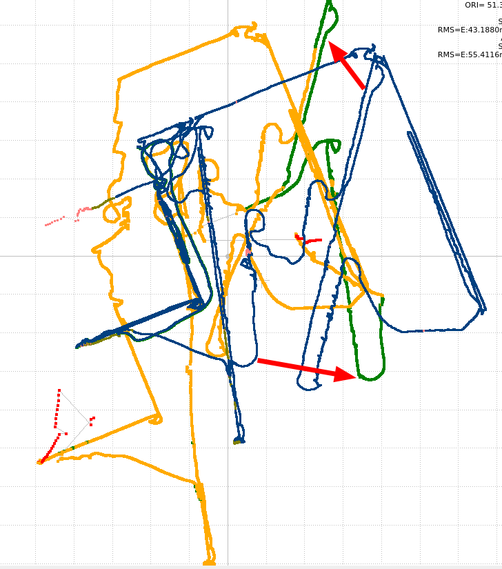
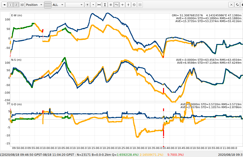
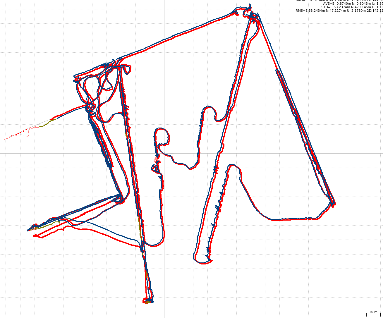
All screenshots below are from processing the logs of the thread I referred to above.
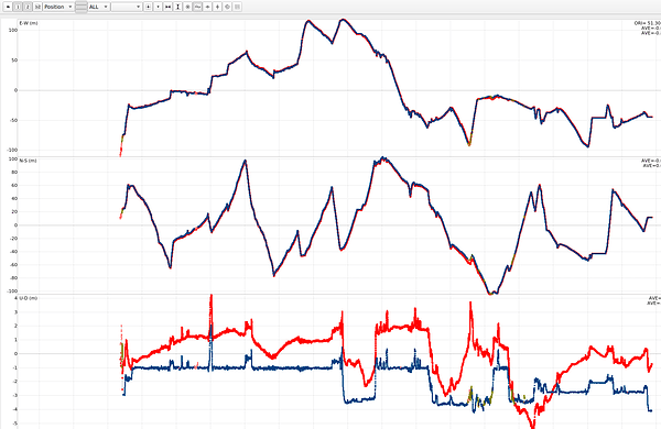
the blue (solution2)-data always is from the in-field-real-time solution logged by RS2 itself.
Note about the data: The RTCM-stream was provided by VRS over 3G connection, and the latter had outages up to 30 seconds.
Question 2:
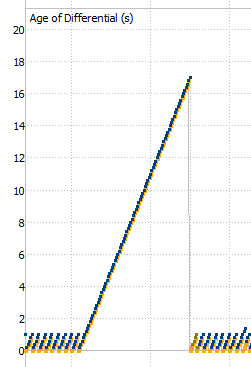
During outage of the RTCM stream, the age of differential, is similar between the real-time and the post-processed data, as expected. But in a significant amount of the cases, it looks like the post-processed data somehow ‘finds data’ and it’s age of differential drops to 0. Is there an explanation for this? or is it a possible bug?
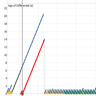
Question 3:
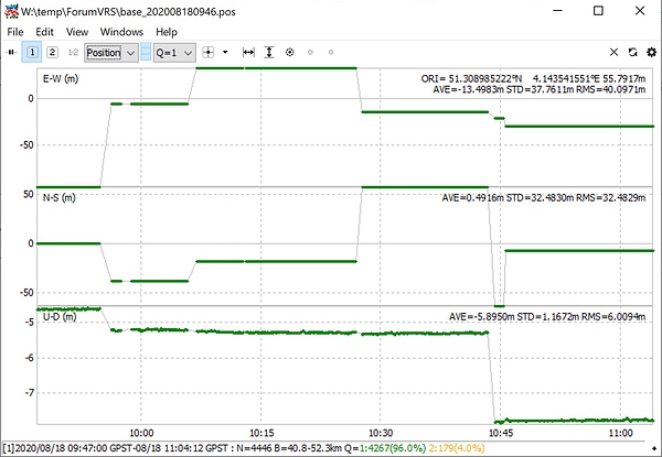
While changing the parameters to get a ‘better fix ratio’, I only get more false fixes (compared to the in-field-solution which looks like the correct path). I don’t know if it’s coincidence, but this false fix is often obtained a very short time after the behaviour described in the previous question. (even with an outage of 2 seconds, where the post-processing doesn’t see the outage - maybe the data did arrive, just not in time…), and although it’s a false fix, it’s perfectly parallel with the true solution. Is this just because of the limited number of usable satellites?
Question 4:
In RTKPost I can choose between L1/2/5, and in RTKPlot L1/2/7. Are 5 and 7 the same?
Also the PP-tutorial says Beidou is using L1&L7, but I only get data in RTKPlot for L2&L7
Question5:
The number of satellites in the real-time solution file is consistently ca 10 higher than when doing PP. Does the number have another meaning (also the ones filtered by SNR/elevation?), or is it really using more satellites?
PS. Sorry for the long post, tried to keep it organised (and I thought is was better than creating 5 topics)


