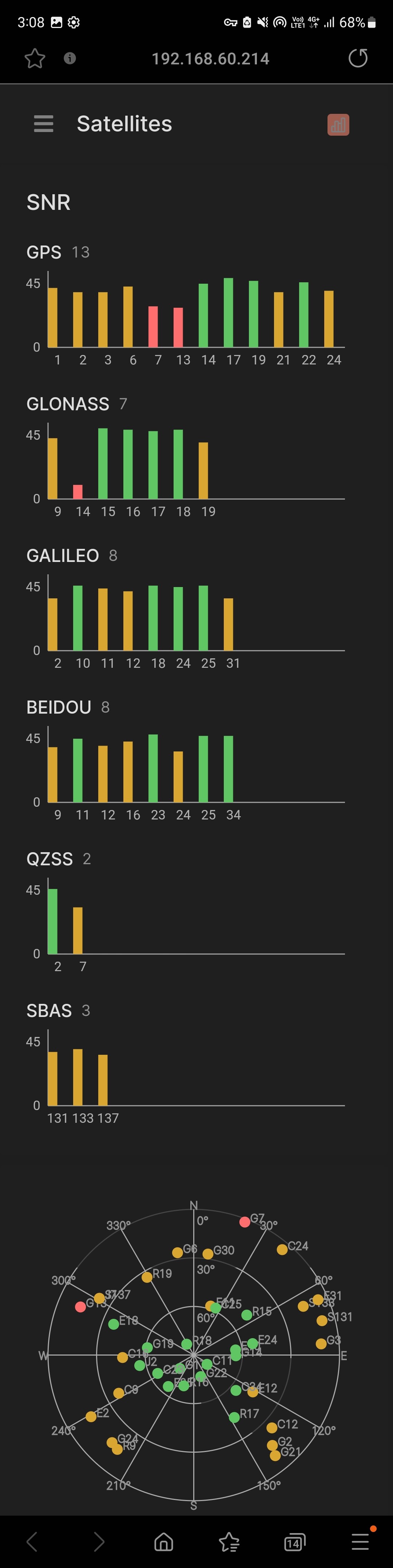
I’ve been curious about this as well. I ran a quick test with an RS2 unit with firmware V31.1 last week but was only able to see SBAS signals from the WAAS and MSAS constellation not SouthPAN. I would expect to see PRN 122 in the SBAS section of this screenshot if so.
Has anyone been able to detect the SouthPAN signal? If we were able to receive theses signals can they be used for real time corrections on the unit? I haven’t seen any documentation on how SBAS can be utilised in an emlid workflow so would be great to know what’s possible.
I can confirm that Reach receivers support SBAS corrections. Still, the way the receiver works with a service can depend on the coverage in a specific area, the ways the data is transmitted, etc. Since we didn’t conduct tests with SouthPAN, it’s hard to say how exactly it would work with Reach.
@kseniia.suzdaltseva Is there any documentation on how it is meant to function? It would be good if there was an equivalent “Fix” flag for SBAS or a section where it can be setup?
@wizprod surprisingly quite often actually, a lot of sites that we work at are off the grid (no CORS corrections) and don’t have established control to setup a base over. Having to postprocess a base station and any RTK pickup adds a level of complexity that just isn’t needed in a lot of scenarios (ESRI being one area and bathymetric surveys another). Having to utilise the system in RTK mode also adds another magnitude of complexity to the user which takes away from valuable field time.
Well, I don’t think so. Setting up another base on the project site or on shore for hydrography surveys is no harder than what you’re wanting.
There are times I have no cell service here… I usually set up a base and start RTK with it after getting a preliminary position. Even if you don’t PP the site and have local RTN, you still have a project accuracy within +/- meter for the project site. With SBAS, that’s about the accuracy you get with that method
A good reason for local RTN is your points accuracy in relation to the base will be +/- 2cm. If needed later, you can PP the base and translate the whole site to absolute accuracy. It’s not hard, a couple of times PP and you’ll have the methodology down pat.
@EBE111057 They are all good points that you make and if I was undertaking this work myself, I probably would do the same or very similar process. Nonetheless, this approach isn’t suitable to the work we are using them for.
SBAS stands for Satellite Based Augmentation System. Observation of SBAS satellites, which are specific for each constellation, should slightly improve the autonomous positioning. In terms of Reach software, positioning in the SINGLE mode. But still, this won’t improve it to the first centimeters.
It’s a nice request for consideration, thank you for this! I’ll pass it on to the team.