


Is not it easier will use standard formats, eg. *.grd instead of *.dat?
Then you will have more time for other tasks and users more accurate models of application possibilities. ![]()
Geoid File Conversion Utility
NRC formats for the geoid models
Ashtech Geoid Extract Tools (*.geo format)
NGS geoids
1 Like
Hi Ryszard,
Thank you for the your information and for your emails, I have implemented the support of Geoid models in National Geodetic Survey bin format, any model from here GEOID Model Homepage - National Geodetic Survey (NGS) can be used now, I also added support of Geoid models in Nydromagic geo format, any model from here Download and install additional geoid models in Hydromagic as hydrographic survey software package for Windows. can be used now as well. Some of theese models are downloadable from whithin the app. Any other model has to be downloaded, unzipped if necessary and placed in RTNFriend folder on an Android device.
I also plan to apply Geoid models to target elliosoid ( in user defined coordinate systems ) not only to source elliosoid as it is now. Also plan to iplement a constant correction to a model as well this might be useful in some countries.
With best regards,
RTNFriend
Fyi, since all of this seems to be “work in progress”, wonder if should even be charging the monthly fee right now? My trial has already run out and cannot even further evaluate the recently “important” additions.
But also, my personal opinion and just take as constructive criticism, I “HATE” subscription (renting) models. Chances are I wouldn’t subscribe and probably most wouldn’t, UNLESS, it’s drop dead needed and beats all the others hands down. But Mapit GIS or even Mobile Topo would get my $$$ as a one time purchase. The cost is reasonable and Mapit GIS is just made very well.
Just some honest advice is all. The one thing I give this though, is the great effort your putting forth. Especially with the coordinate systems! Which the others are not, and this is VERY important in order to compete with non-android survey software such as MicroSurvey FieldGenius, MicroSurvey Layout, Carlson SurvCE, Topcon magnet field layout, Survey Pro, Leica, Trimble, etc etc.
I think if an app developer made an android and iOS version almost the same as the mentioned survey apps, you’d be on to something here. This is what MOST users are accustomed to already and are VERY WELL DESIGNED with all the required features for SERIOUS survey work. So far what is out their, android and iOS are just NOT cutting it. (for the most part of mimicking what has already been established for years).
The app would also do away with the old school data collector. You also already have newer Windows (7, 8 , 10) based software / tablets, etc to contend with.
I overlooked this incorrectly. I read this as $13 PER MONTH! I apologize.
So yes, $13 for (6) months is much more reasonable for a subscription product as this… But I still HATE subscription models and always will. ; )
1 Like
I think if the apps helps us do our job and the cost we charge for doing it is not compared to what he charges for 6 months
An example that I think you get out of reality Autoca 360 for me is expensive
2 Likes
Sorry, too bysy now, will make it free for 3 month tonight, will try to anyways. You are right the app it is under develiopmet, and i peobably should have held on with sobscribtiins.
1 Like
What RTNFriend does is the priority. I mean coordinates systems, terrestrial reference frames, and geoid models. And on the way for the user with the friendly approach.
XYZ and Latitude, Longitude, ellipsoidal heights are for hobbyists, not for ordinary users.
My special greetings!
3 Likes
Please update to 1.27, it is free for 4 month,
I will change it back to two month in Jan 2019.
I do not like sunscribtion as well, if I paid for something I want to own it, but I could not find better “business” model fo my app.
1 Like
I think you’re right because an unlimited usage business model would mean the entry price would be higher. The renting model ensures a constant revenue stream which helps fund constant development and encourages rapid releases.
If it was something that was released once as finished and complete, then that would be a better case for a one-time fixed price. Any improvements would be held until the next version, and an upgrade fee would have to be paid.
As much as I don’t like renting software either, I also think it is the right choice here. (my 2¢)
2 Likes
Could you make geoid for Cambodia country? We want to test your app too. Thanks.
Please try to download cambogia_egm2008.dat it will be downloadable from whithin the app in next release 1.28. (Sometimes, for some reason, google drive links are not accessible, even though all access right are given). Just in case this is a dropbox link cambogia_egm2008.dat
Once you download it place it in RTNFriend folder and the app will use it.
1 Like
Do you have geoid for Philippines?
I need one for Mars.
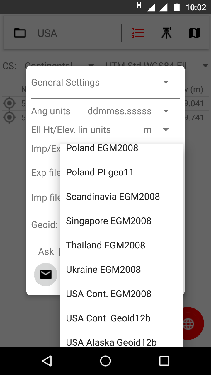
Yes, you can download it from the app, press PointList - Plus Button - Globe button and select Philipinnes Egm2008 and download button.
Do not have that one, sorry 
This topic was automatically closed 100 days after the last reply. New replies are no longer allowed.