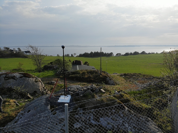
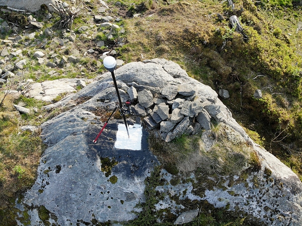
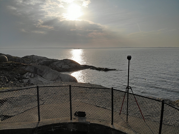
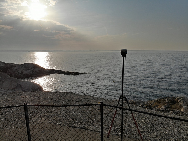
RS2 stuff i have collected the last few weeks. Two things i was eager to try, the long range RTK and second the built in simcard solution. And, yes. It worked amazingly well.
I didn`t have any VRS available this time so i had to rely on monuments. Luckily we have few of those
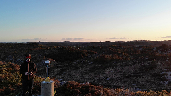
As some of you know i have made my own mountpoint to access local AP at my home. It has been surveyed and controlled a gazillions times using a nearby highly accurate monument and againts other know points. It was natural to use mine as base for this session. But the pictures and vidoes you will see later are taken from a monument located nearby, just because the view is so much better.
Base coordinates is verified to be within 7mm horizontal accuracy, and the same goes for the two points at the rover.
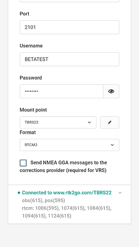
Base is set with all RTCM messages enabled at 1hz, RTK mode was set to 5hz and i used www.rtk2go.com for ntrip. Base is connected to internet via my home wifi.
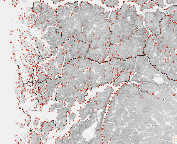
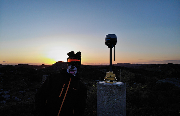
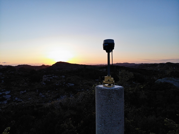
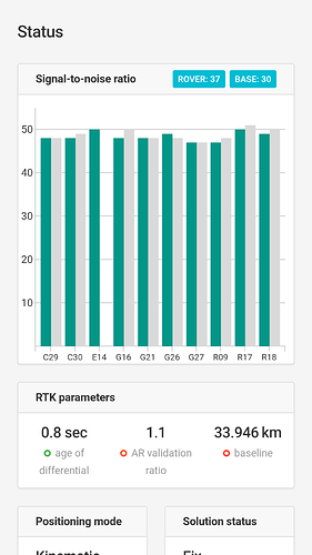
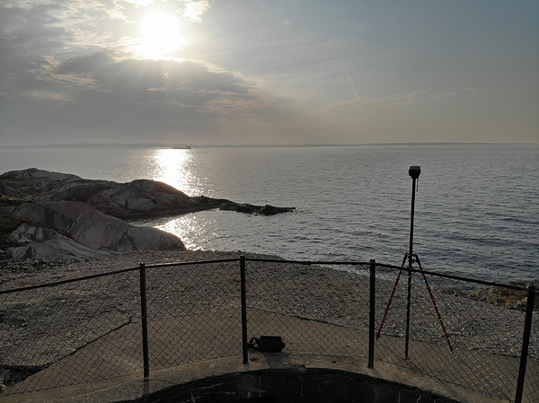
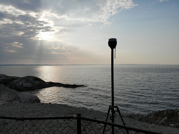
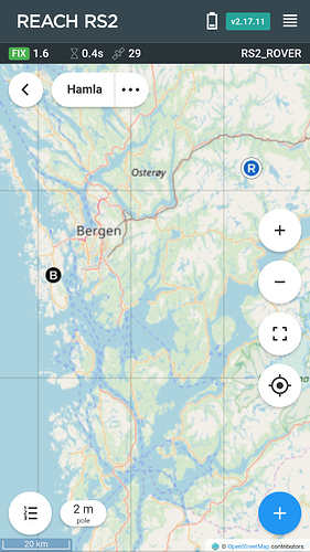
The first session at Herdla is a 33km baseline. Some random shots from ruins and historic buildings from WW2.
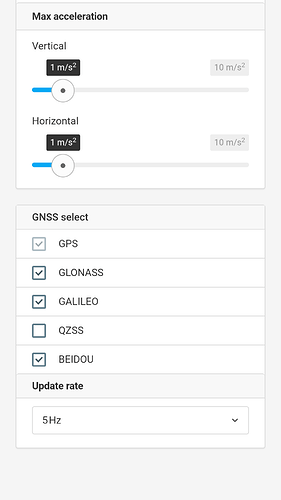
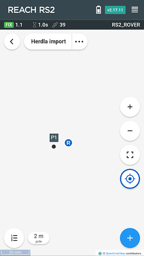
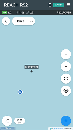
From the survey view you can see preinserted coordinates show only few mm off from where rover is actually located over the monuments. I did not calibrate the pole to be 100% so there might be some error there as well. Anyways, no problem getting fix and hold it. Rover is set with 10degree mask, 5hz, continous mode, glonass AR on, kinematic.
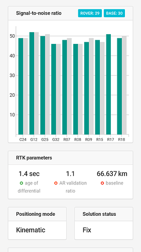
AR value has a bug, doesnt display the correct awesome value.
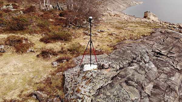
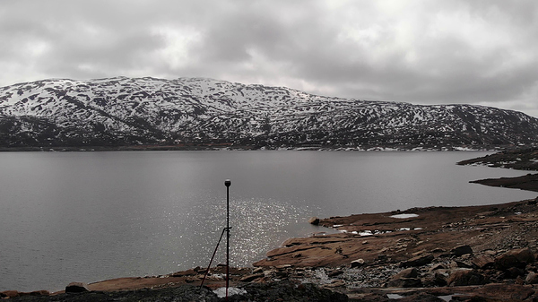
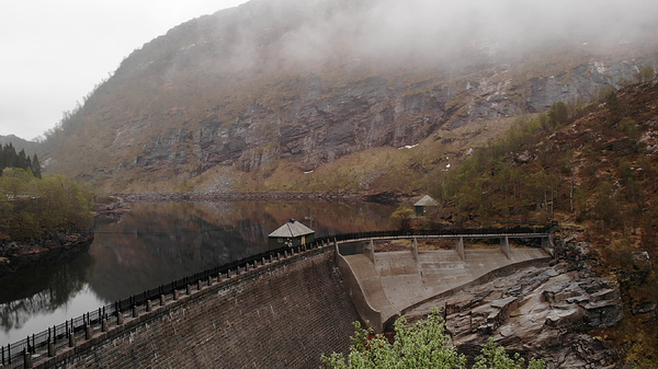
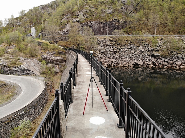
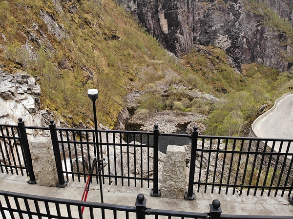
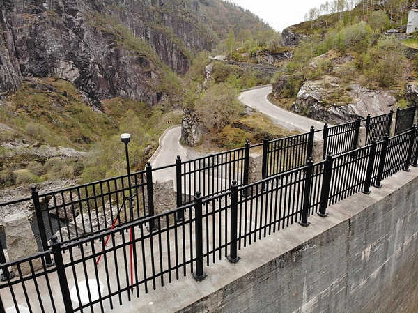
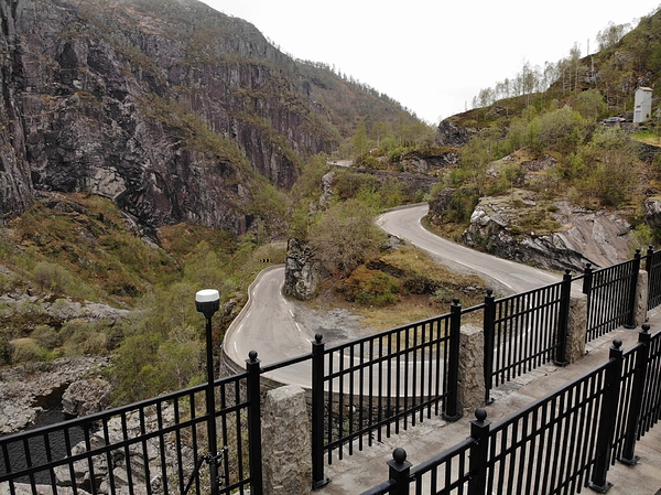
Next up is 66km marker. This one is way up on the mountains. Close to a regulated water providing electricity power.
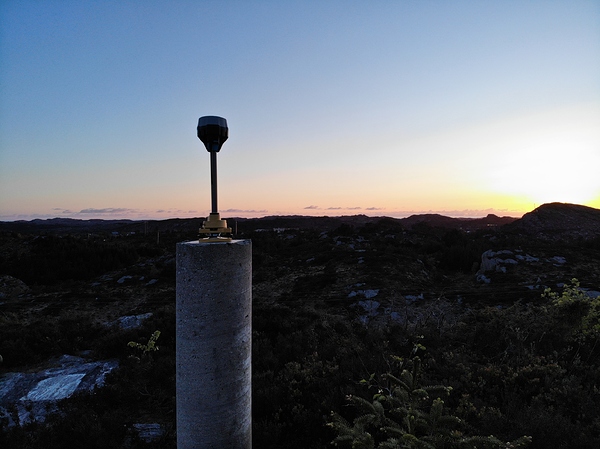
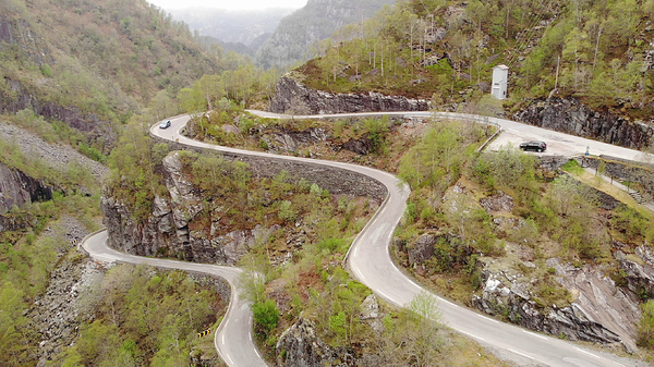
And some random shot along the way. Enjoy the rest.
Have uploaded a bunch of clips to youtube, hope you like it.
It was all made in a hurry with a computer that doesnt like to work with 4K video ![]()
Special thanks to Emlid and all the people there. ![]()


