I recently tried to use NRCAN for the first time to do PPP and compare it with NTRIP accuracy.
I put my RS2 on the top of my roof and logged for 4 hours at 1HZ, exported as Rinex.
I created several survey points in RTK with NTRIP, all lay within ±2/3 cm.
I received the NRCAN files after a few days and the distance between the points was 30 kilometers.
Any idea what could be at fault?
The NTRIP corrections come in ETRS89 but that should explain a difference of less than a meter compared to ITRS2014…
raw_202007011344.pdf (1.1 MB)
This is the PPP result in pdf
solution_202007011344_LLH.zip (233.7 KB)
This is the solution file from RS2 with NTRIP corrections…
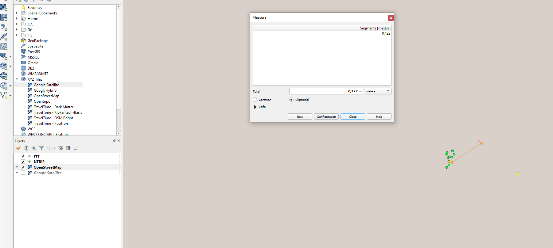
Update: I managed to get a solution from OPUS (RTCONV in Rinex2.1 and GPS only did the trick) and now both points lie 6cm apart from each other … still 30 km away from my survey points…
Ok, so I somehow got the results now, with one question remaining:
I used the UTM32 (EPSG:32632) coordinates in the OPUS and NRCAN solution and transformed it to ETRS89 (EPSG:4258).
NRCAN solution was 12.5 cm from what I would call the truest NTRIP solution and the OPUS was 25 cm further away.
I am looking forward to receiving the more exact solution. Both solution were roughly 15-20 cm off.
What I am puzzled by , still is: where on earth did that 30 km shift in the LLH ITRF2014 data come from?
Here: https://confluence.qps.nl/qinsy/9.1/en/international-terrestrial-reference-frame-2014-itrf2014-182618383.html … among others, it is written that ITRF and WGS84 generally coincide within 1m…
I have no idea where that 30km shift came, but when I plug the solution from NRCAN in google maps, it’s smack on top of your apartment building, mere centimeters apart from the first line of your LLH file.
PPP: 51° 29’ 59.52933" 7° 29’ 10.39871"
LLH: 51° 29’ 59.5" N 7° 29’ 10.4"E (rounded by gmaps)
Thank you Gabriel, the solution file is the one from my RS2 with the NTRIP corrections… full_output_2.zip (1.6 MB)
In here you find the complete result from NRCAN. But the LLH values are the same as in the pdf…
@Gabriel_C
I misunderstood, and checked the coordinates of NRCAN in Earth, too… and I got the same result as you.
I have to check where my error was. I read the coordinates into QGIS as ITRF2014… maybe there was a mistake…
1 Like
But anyhow, would you expect that sort of difference between NTRIP fixed solution and 4 hour logging and PPP (12 cm NRCAN/ 24cm OPUS) ?
Maybe, if the datums are not the same. Have you tried transforming the PPP result to ETRS89 (I’m assuming that’s what your NTRIP service uses)?
I converted to ETRS89 using a local survey software and I think that if that was the reason, the shift should be larger
I also did the conversion twice to be sure…
Hi @kasanmascheff,
@Gabriel_C, thanks for your help.
I’ve also pasted your results and observed the same as @Gabriel_C did. Such a difference is most likely happen due to the coordinate transformation process. I’d recommend cross-checking the convertation sequence again.
Also, had you compared the coordinate transformation results in QGIS and your own local survey software?
The 30 km distance was indeed a transforamtion error, but the 12 cm seem not to be…
I will try another time and see where I get…
QGIS has no way of transforming ETRS89 to WGS84 in cm level accuracy without doing extra work. The QGIS transformation between the two is a zero operation because it sees both CRS as the same.
Hi @kasanmascheff,
Sorry for the delay.
I saw you mentioned in another thread that you’ve transformed your coordinates with the Transdat software which does not have the ITRF2014 CRS with the corresponding datum. I suppose the results from this thread are having the shift because of the same reason and its worth cross-checking them too.
Hello Artoem,
I don’t think so because in the other project I did not need to do any transformation because both data (UAV and GCP) are in ETRS89 by default. And even if there would have been a chance to mistake WGS84 and ETRS89 --> it makes a difference of around 70 cms at the moment…
But again, no transformation happenend…
Hi @kasanmascheff,
I am sorry for the delay.
I’ve converted your NRCAN results in ITRF2014 (EPSG:9000) to ETRF2000 (EPSG:9067) with GDAL CLI. ETRF2000 is the basis for the ETRS89 realization in your country. As the transformation is time-dependant, it is necessary to check if the correct datum is applied. The difference between the coordinates from your NTRIP caster and NRCAN after the conversion is in the range of 1-2 centimeters. I believe such a distinction is pretty tolerable considering the time-dependent complexity of the transformation.
I can PM you the transformation parameters to avoid publishing your location data.
Hello @artem.fomenko,
thanks for getting back.
Do you know of a step-by-step tutorial to make this transformation in GDAL?
Please send me the transformation parameters.
Thank you!
Hi @kasanmascheff,
Please, check your PM. I’ve sent you the transformation parameters there.