Hi,
I have been experimenting with PPP and RS2 as well as the M2 and a TopGnss Antenna.
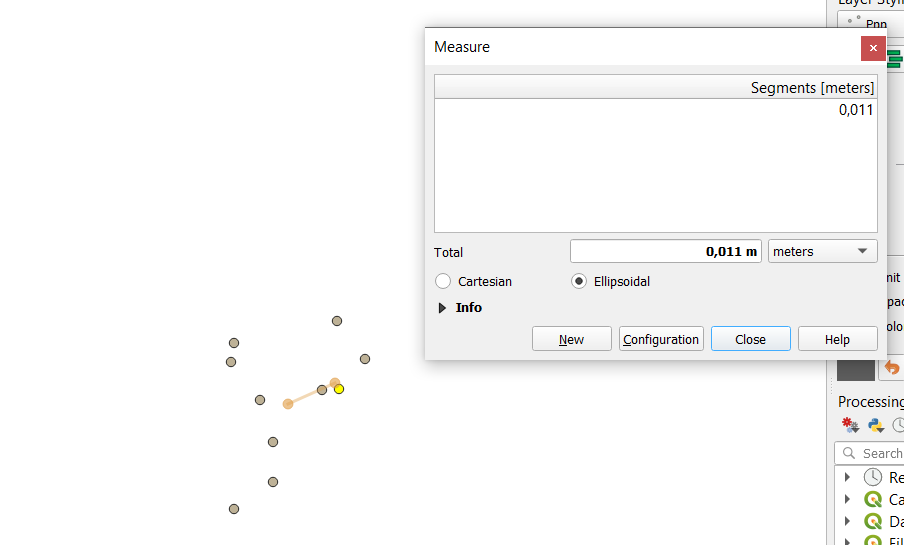
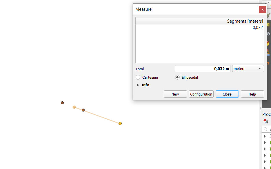
In the screenshot below you see two points on the left (NTRIP-based RTK Fix Solution 1m average) taken at the start and at the end of a 10 hour logging period, collected in EPSG:4258 /Etrs89.
The two points on the right are the Ultra-Rapid and Rapid Solution transformed with Transdat Software (ITRS2014 to EPSG 4258 ).
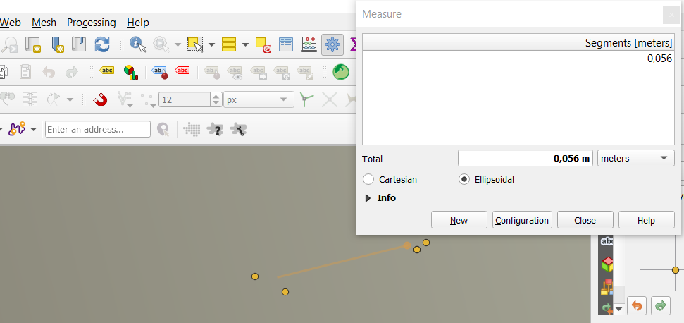
As you can see, there is a 5 cm shift to the East.
I have experienced that with another PPP project where I got almost the exact shift.
Can anybody please give me a hint about the correct datum transformation or transform the coordinate for me?
I do not have a ITRF2014 CRS in my Transdat Version, only ITRS2014. I thought it might be coincidating.
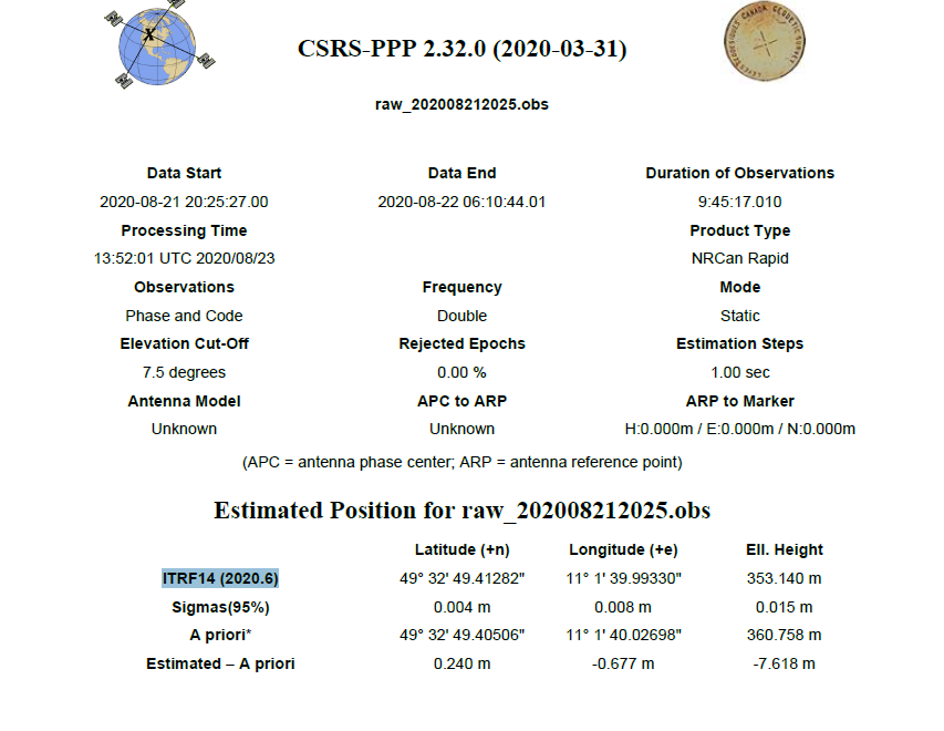
I attach the rapid report from NRCAN and the CSV with the survey pointshere.
Aufmdach.zip (466 Bytes)
raw_202008212025.pdf (1.2 MB)