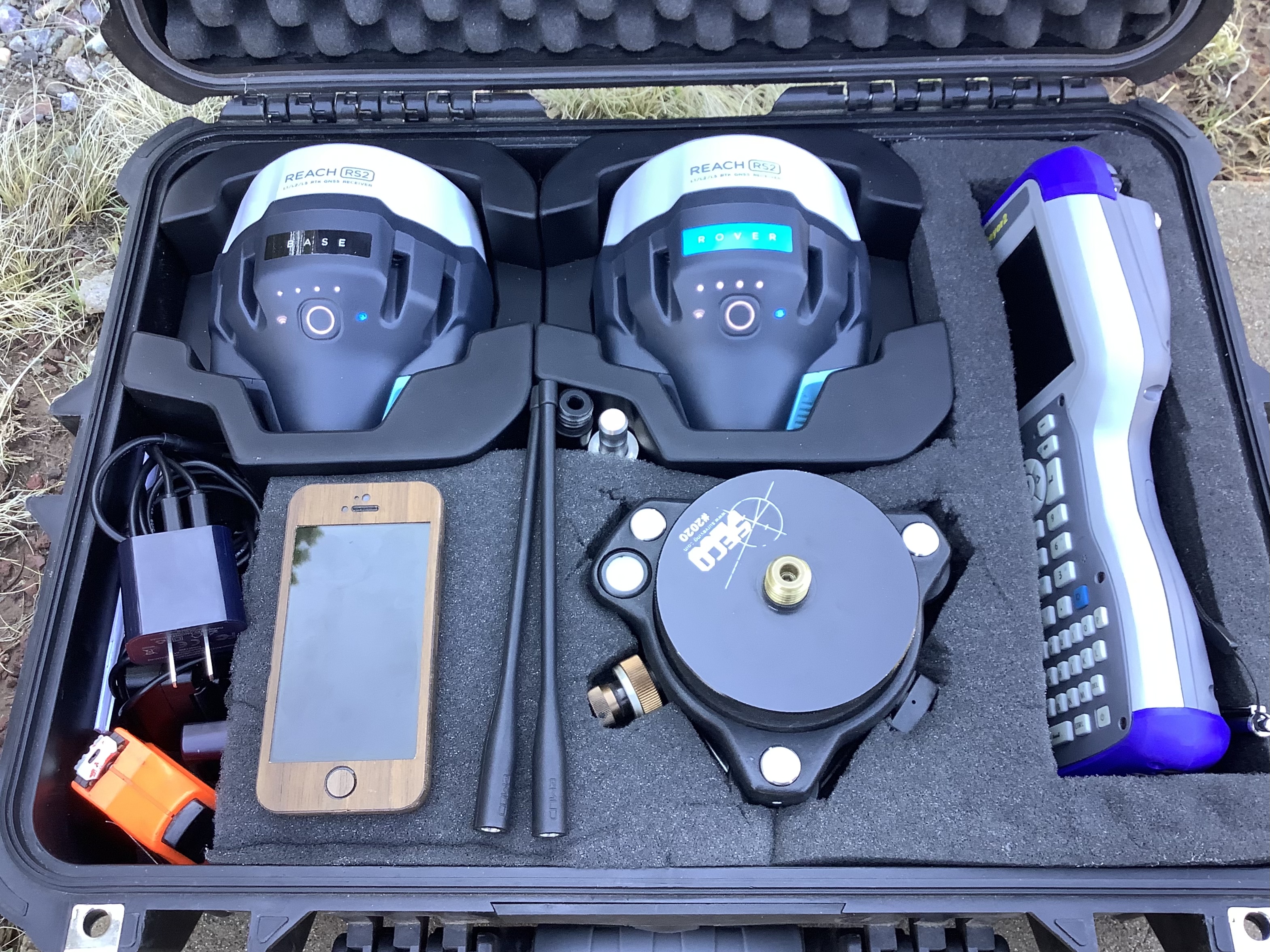
David, I’m using the RS2 via hotspot on my phone to access our state RTN service. Works flawlessly for me. I have been doing some preliminary tests in open and high multi-path areas. I like the receiver form/factor. It’s a neat little receiver for receiving GNSS signals !
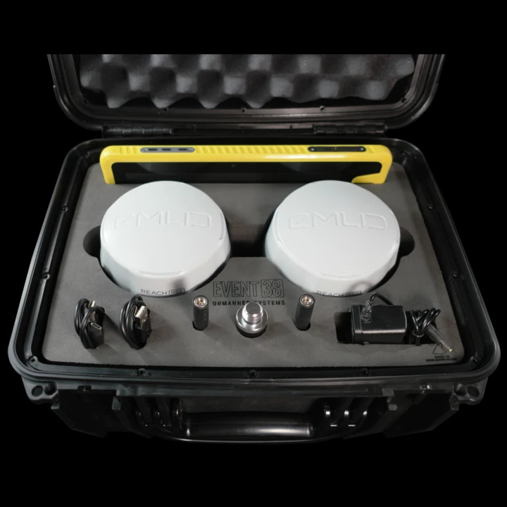
Not an actual pelican case, couldn’t find a brand name on it, looks a lot like the Harbor Freight case though.It was gifted to me and just happened to fit.
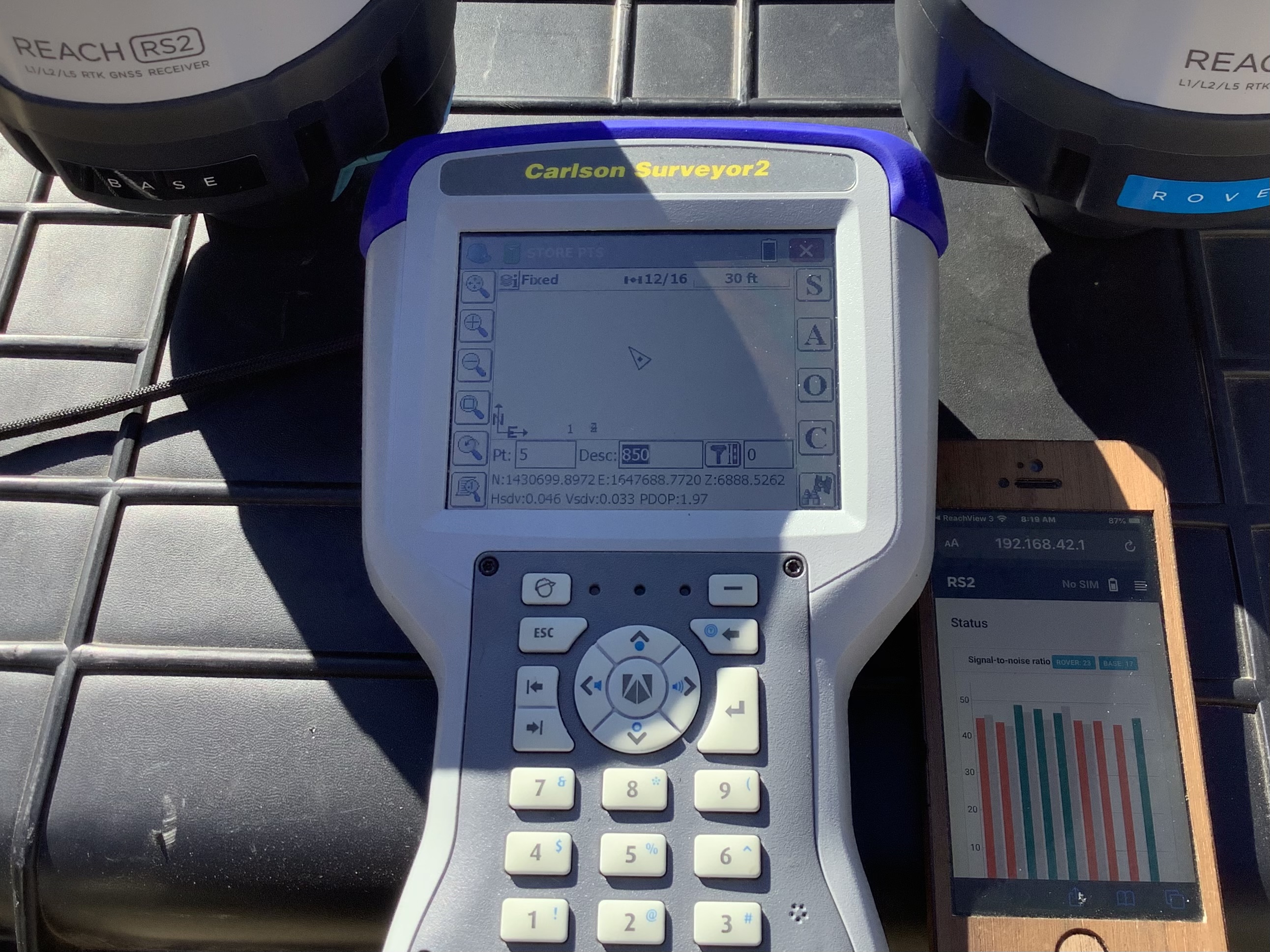
SurvCE is working well so far, measuring ground distances and reporting Ortho elevations for us.
I think we can start surveying with this gear! Excited to do some site calibrations in the field on some known control for some warm fuzzy.
Thanks! We are very happy with the size and portability of our new gear. So far, the Carlson Surveyor2 has been working flawlessly, using SurvCE 6.0, and feeding Generic NMEA via Bluetooth. It is a large unit, we may upgrade to a smaller DC in the future, but so far it works like a dream. We will be testing the gear soon with NtRIP/SIM/network rover capability as soon as the sim cards arrive. We’ll definitely update how that works out:+1:t4:
I have had good luck so far with the “US Mobile” SIM card kit available from Amazon. (Amazon.com)
YMMV depending greatly on your location. My location & general work area is in rural north-western California. I believe the major cellular providers up here are just Verizon and US Cellular. I believe the SIM card gives a 3G connection but I’m not sure about that.
I prefer having a SIM inside the RS2 itself, instead of sharing data from my cellphone via “WiFi hotspot,” as it allows me to shut off WiFi on the RS2, thereby saving battery life. It’s also just more “plug & play” to have a dedicated SIM in the RS2 as it means no fussing with sometimes-flaky cellphone → RS2 hotspotting.
I believe I’m paying about $5/month for the “US Mobile” data-only SIM service. I use it exclusively for one-way NTRIP from various local CORS stations in the UNAVCO network.
Normally cellular radio uses more power than the receiver’s WiFi hotspot but I have never done any testing. I am guessing you are using Reachview?
We use a stand-alone MiFi device for Verizon that I also bought at Amazon that provides everyday connection for a laptop, iPad (drone 1), RC (drone 2), iPad Pro (lidar), survey data collector and my truck.
Hello nomadlandsurveyor. I was wondering if you help me. I have a few questions.
What version of Survce are you running?
It seems that you are running a RS2 base and rover setup. I presume you configure the base with Reachview and send out corrections via Lora?
If not set up that way, how do you configure things?
Would you be willing to share an RW5 job from your RS2 rover and base setup?
I’ve had great luck using an RS2 as a NMEA network rover on Topnet. I use Reachview to connect to my phone’s hotspot and then connect to the RS2 via Bluetooth on my Surveyor+. The only issue is that it does not seem to pass a BP to the rover. So I can generate a text of the coordinates, but not the vectors. This limits my adjustment options in Starnet. I’m interested if your setup has the BP issue.
To the people running Fieldgenius, does its raw file create vectors that can be brought into a least squares program for adjustment with total station data?