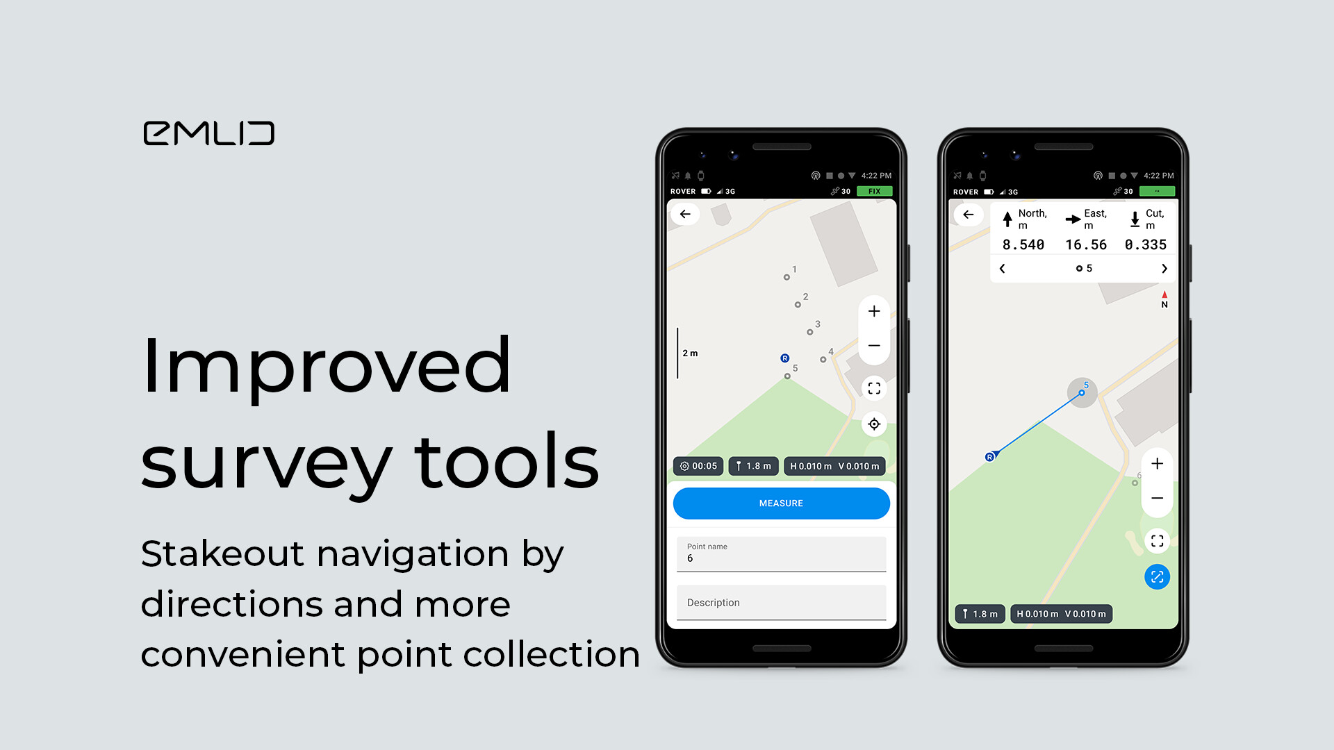
New ReachView 3 update is here! With the 7.7 version, we enhanced survey tools based on users’ feedback and added handy search options in the list of coordinate systems:
Improvements in stakeout navigation
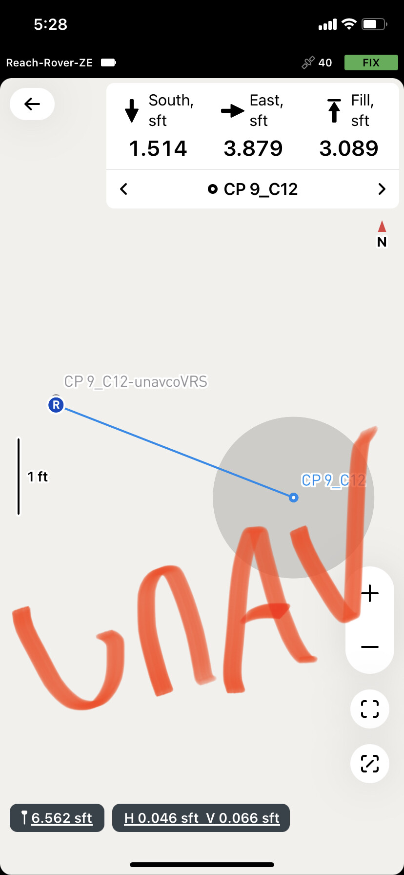
Now the distance is divided by directions to follow the route easier.
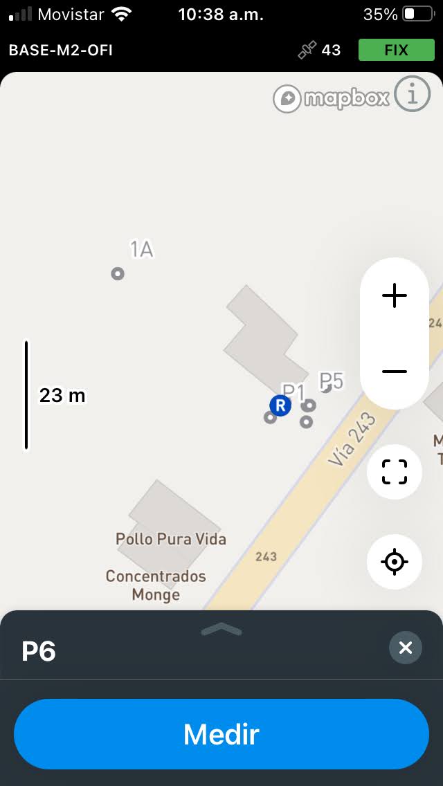
Upgraded point collection tool
You can edit a point’s name and description much faster. Also, the map area is bigger, and all important actions are right under your finger.
CRS registry
We added the list of verified coordinate systems and introduced new search options. You can now search coordinate systems by country, name, and EPSG codes.
Stake lines / alignments with chainage/offsets (station/offset) and stake surfaces eg TINs and we’d have almost everything we need for basic construction surveying!
Thanks for your suggestions! I should say that we’re totally planning on adding more features to the Survey tool. So it’s nice to hear your suggestions beforehand. Keep an eye on our updates
Thank you very much for testing out the app and collecting your feedback!
We’re always open to adding new features and improving the design details. For that, though, we need to understand your workflow with them. So I’d like to ask you a few questions.
What kind of survey requires you to monitor the coordinates during the point collection? I’ll explain our perspective on it. We’ve simplified the point collection view to keep only relevant info and enlarge the view of the map. You still can check the coordinates by swiping down the Status screen. So that’s why it’ll be beneficial for us to know more about your workflow with the coordinates during the point collection.
Your requests for the changes in the Stakeout tool look solid. I can’t really promise any fast implementation, though. Rest assured we’re taking them all into account. And thanks for the graphic recommendations for the interface
I think it is important that it shows the coordinates in real time both before collecting the point and during the collecting of the point like previous versions.
The previous version had the option to lower the tab and with that it expands the map window. See the images.
The option of the upper tab does not show the grid coordinates, only the geodesic ones and it is annoying to be going from tab to tab.
The coordinates visible all the time helps when moving in the field, you will always have the coordinates and elevation visible where you are moving.
When you collect a point it helps to control the point quality, because you will see if there are differences in the observations the rover is making.
Very much agree with JAGUERO here. It was very beneficial on the previous software version having the ability to see preview coordinates in local coordinates before collecting a point or even just checking elevations. I know we can just click on the status bar but unfortunately that doesn’t give local coordinates as need for construction jobs.
I notice in the new version that there is space at the bottom of the measure screen. Perhaps it could be reincorporated there, or even better the old measure screen reinstated.
Good,
I agree with the opinions of the colleagues, the option of reducing the decimals in the dimension section could be included in the stakeout. That is to say, to be able to choose two decimal places to set out the elevation of the point. I think that in GPS the millimeter is unnecessary.
Thanks.
I went to set up a scale today and check elevations but with no real-time coordinates its a challenge.
Real time coordinates would be a bonus to check existing grades and check in/out on a control point.
You may be waiting an eternity for all these features to be implemented. Not to knock EMLID, as they are doing what they can… but their “roadmap” seems rather looooooong.
You might as well look into 3rd party software such as MicroSurvey FieldGenius and many others that already exist.
Yes, it would be great and nice… and for FREE??? Yeah, i dunno.
Ficou muito bom mesmo agradeço a equipe de desenvolvimento. Gostaria se possível de dar uma sugestão,quando a base muda de lugar tem um comando para introduzir as coordenadas,seria possível colocar nesse comando a opção de listagem de pontos coletados ,assim se coloca o número do ponto e o software encontra as coordenadas evitando digitar.Obrigado e um grande abraço a todos.
+1 for bringing back the coordinate preview please ASAP.
a) it allowed me to check the data against positions I’d been given to locate without having to input all coordinates and stake out
b) when averaging I could see when to ‘accept’ the point
We mark out Ponds on farms here in NZ, and having the realtime coordinates displayed makes it much easier to find a certain height on-site. This MUST be done in the local coordinates, not in WGS84! such as on the status screen! This was one of the best features!
Point to Point measurement in stakeout missing makes this version of RV3 un-usable. Why would you think we would not want to know the distance from our position to the stakeout point? Its always been in the app, and its really important!
Is there anyway to downgrade to the old version of RV3? This version is going the right direction, but with these very basic and important features of GNSS software missing, it is unworkable for me in the field!
While there are obvious improvements to the user interface, using the stakeout tool I’ve begun to depend on the relative distance and height from the selected point. The individual directions make this unusable.
What about the ability to swipe the top portion of the screen between directions/height and distance/height and perhaps even distance/slope?
Thanks for sharing your thoughts with us! We see having real-time coordinates in Collector is vital for you, so we will consider adding them to the new ReachView 3 interface.
By the way, right now, we’re conducting research for further Survey tool updates. If you have time to answer the questions below, you will really help us! As Polina said, having more details about your step-by-step actions and goals is a great help to understand what will work the best.
Here are the questions:
What do you do first when you come to the site? Which steps does the preparation for your survey include?
What do you need to do during the survey? What are the points that you collect – is it trees, building corners, cable locations, etc?
Which values do you need to see before and during point collection? Which values would be helpful, but not necessary?
How do you plan to use the results of the survey? What are the requirements for the final result you obtain?
Each answer will bring us closer to future app improvements. As for the details you’ve already shared, I’ve passed them on to the team.
You’ve also left several requests about showing the distance/azimuth to the point. They sound fair to me as well. Note taken!