Hello,
I occasionally use GPS for my work but my knowledge is very basic. We are doing some tree canopy studies and need to get location of 25 x 25 m study sites under dense forest canopy. I am wondering if a Reach RS2 used as a network rover, or with out RTK fix, can achieve under 2m accuracy in dense forest canopy.
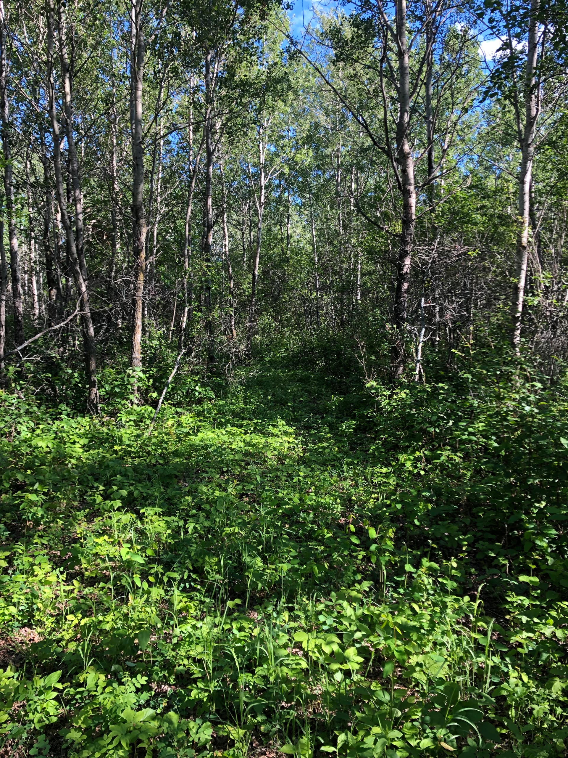
Usually, we don’t suggest working under dense forest canopy. Even if you don’t need centimeter-accuracy, it’s still not recommended. To calculate a solution (even with accuracy of several meters), a receiver should track at least 4 satellites. So, if canopy blocks the sky view, there is a chance to get no solution at all.
I would hazard to guess that you’ll be better than 2m even in dense canopy. I would guess closer to the 80-100cm range. The only way to know for sure is to get out there and capture! I have gotten RTK float in what i would consider somewhat dense canopy so I was close to a decimeter. That being said, sometimes I had to wait or occupy longer.
Maybe get a FIX outside the tree canopy, then set up on that point and use a Leica Disto S910 (best) or their other models that may suffice X4, X3, D810 to shoot into the forest? Look into the FTA 360-S with tripod for S910, DST 360 for X4 (has the needed vertical and horizontal encoders; S910 are built in). These devices can even measure tree diameters easily. Leica Zeno? S910 works with Microsurvey FieldGenius (Windows). The S910 is limited to 30 captured points, then export. But unlimited points if connected via Wifi to Autocad, Bricscad, FieldGenius and the like using the Windows plugin. Or Excel etc using bluetooth.
Javad equipment is the only receiver that can guarantee a fixed reliable solution in high multi path areas We’ve been using them for years in various canopy high multi path areas. Never had a bad location yet, even so, if you have two local M2 receivers for a baseline onsite you can PP to verify by determining your loop closures.
I’ve used the RS2 in the woods several times and have had good and bad fixes, but like any other receiver you don’t really know how good the fix is, unless you have Javad equipment or PP .
You can determine loop closures with EMLID Studio or any other single baseline processor without the capability of multi baseline processing.
Just use the computed point solution for your next base and process the next baseline for the next point, continue the same process back to the original base to determine your error of closure for the polygon traverse. Using two local onsite M2’s and a rover, you have a closed polygon. You won’t be able to adjust or balance the traverse with the single line processor, but that’s the disadvantage of using such. Without using a commercial PP, you will have to adjust your traverse the old fashioned way by using the Compass Rule, Transit Rule, Crandall’s Rule or even least squares if you’re willing. Most of these methods can be used in Excel.
It’s extra work for a single baseline processor but gives you a warm fuzzy confident feeling in the original suspect “fixed” point if it closes well.