


Hi,
Thought I would update this to reflect later Emlid results.
Main difference is that I am using my Reach Base for PPK. The local reference stations are either only GPS or GLO+GPS.
Using my Base station, I get GPS+GLO+possibly GAL. And of course SBAS. This is using Broadcast Ephemeris.
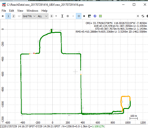
First, I’ve played with Combined PPK to get the FIX/FLOAT plot. The FW (Realtime) plot has more float, but from resolution error circles, most points are cm to decimeter error.
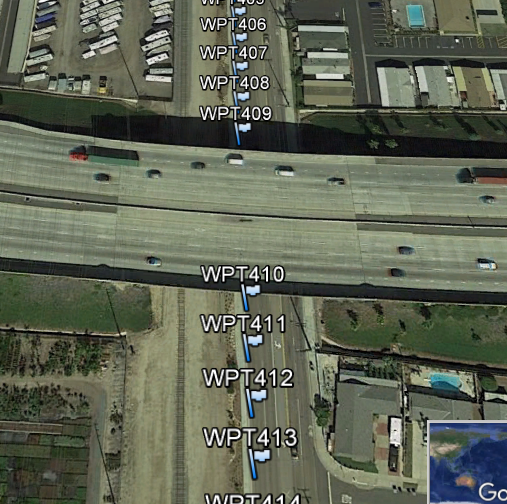
One big improvement appears to be rejection of wild excursions. There are two breaks in the FIX plot where the Rover goes under a freeway overpass.
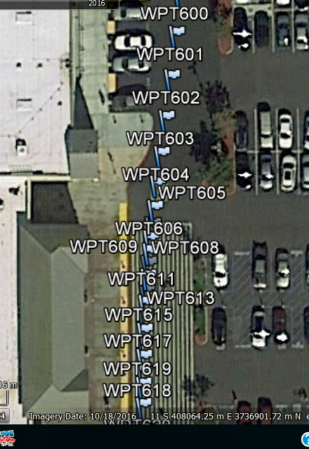
The last picture shows the Waypoints in front of the local Walmart store. As you can see. there is little effect on the track.