


Hi folks.
Just picked up a Reach RS, works straight out of the box. Got NTRIP working as well.
1 device.
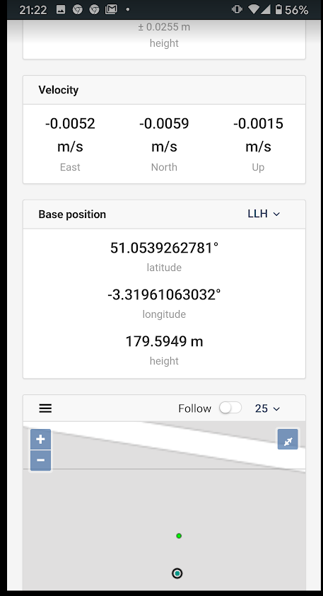
But the base is not showing as the correct location, i.e. the position of the base from the NTRIP provider? Instead, its seems to show as the boot position of the RS. Correction output is on and configured with the same NTRIP data as well. Any ideas? Or should I not worry and this is normal?
A few screen shots attached - and thanks.

Hi David,
Welcome on the Emlid Forum!
This looks like you are using VRS service. Could you confirm that?
Yes I have that ticked…
Then it is absolutely fine to have a base where you booted the receiver.
I’d recommend checking “What is VRS” part of this article:
It gives a super simple explanation of how it works
2 Likes
Thanks for this and the blog clarifies things a bit for me. But I was expecting to see the base location as being where the closest VRS is. Im using http://www.rtkfarming.co.uk/ as my NTRIP provider and I would like to see how far away their nearest VRS is from my location, as that’s important in determining absolute accuracy. is there any way I can enable this is settings to see the base as that local VRS position?
VRS is a virtual thing combined from many different CORS stations around a general area.
If you want RTK from a normal CORS, disable VRS. You might have to choose another mount-point.
1 Like
Thanks - if I disable (untick?) VRS - does that decrease absolute accuracy?
Likely, as you increase the baseline.
But it is also up to the NTRIP to provide with the some confidence in the way VRS is setup.
I would also imagine there to be whitepapers on VRS accuracy online for digging into.
1 Like
I will ask the NTRIP provider about where their VRS bases are, i.e. give me a map so that I can get a better idea of distances and therefore signal quality
1 Like
Virtual Reference Stations VRS are just as the name implies and are computed close to the users position in the RTN by the network and provided to the user real time. There are no fixed VRS as in the actual CORS stations. Many times, the VRS as computed for the user is less than 10 meters from the rover.
julyaug11-solutions.pdf (407.7 KB)
1 Like
Thats making sense now. Really appreciated. What sort of vertical height accuracy do you think we can expect with this. The article seems to imply a significant Z-error can occur?
The SCRTN network here states approx 2cm H and 3 cm V. I check on passive stations here in our county with the RTN and accuracy is usually 1/2 that. With a network having more stations (i.e. short baselines), the accuracy increases.
The elevation error can be as much as twice the horizontal value.
That is the general rule of thumb.
4 Likes
This topic was automatically closed 100 days after the last reply. New replies are no longer allowed.