Hello,
I had the same problem as @christoph2010 but I couldn’t find a way to solve it.
I also had some troubles with base logs in ppk during the same survey and now I am wondering if something went wrong during the survey.
You can find here the shapefile from the rover and the base logs. Thank you
Do you have an issue with post-processing or with the export?
To investigate the issue with the base log, I also need a log from the rover, a navigation file from the base or rover, and CVS file with points from ReachView 3. Emlid Studio can’t process points from ShapeFile in PPK.
I am sorry for the confusion. Let me clarify that.
There are two distinct issues on the same survey, and I am afraid they could be connected.
GCP with emlid base and rover
I collected coordinates of 3 points as GCPs with reach RS2 base and rover. When exported to .shp ( Project 3.shp.zip attached before), these points have the same issue presented in @christoph2010 post linked here. Shapefile export problem
I can open the attribute table and see all the attributes but It’s not possible to visualize them on the map because they don’t have any extent.
PPK with emlid base and third party rover
In the same day and on the same location, I did a UAV survey in PPK with the same emlid reach RS2 base as before and a rover mounted on the drone coming from a different supplier. I am also using a third party software for the post processing and I am not able to process the data because the base logs seem to be corrupted. Will you be able to inspect my data even if it’s coming from a different supplier? In that case, you find here the .nav and .ubx files coming from the rover ppk_rover_data.zip (9.0 MB)
If not, please just refer to issue number 1.
I hope that now it’s clear and that you have everything you need. Thanks a lot.
Regarding your issue with shp file. What coordinate system did you use? Now we have a specific option Shapefile(Global) for export. That will help you if you work in Global CS.
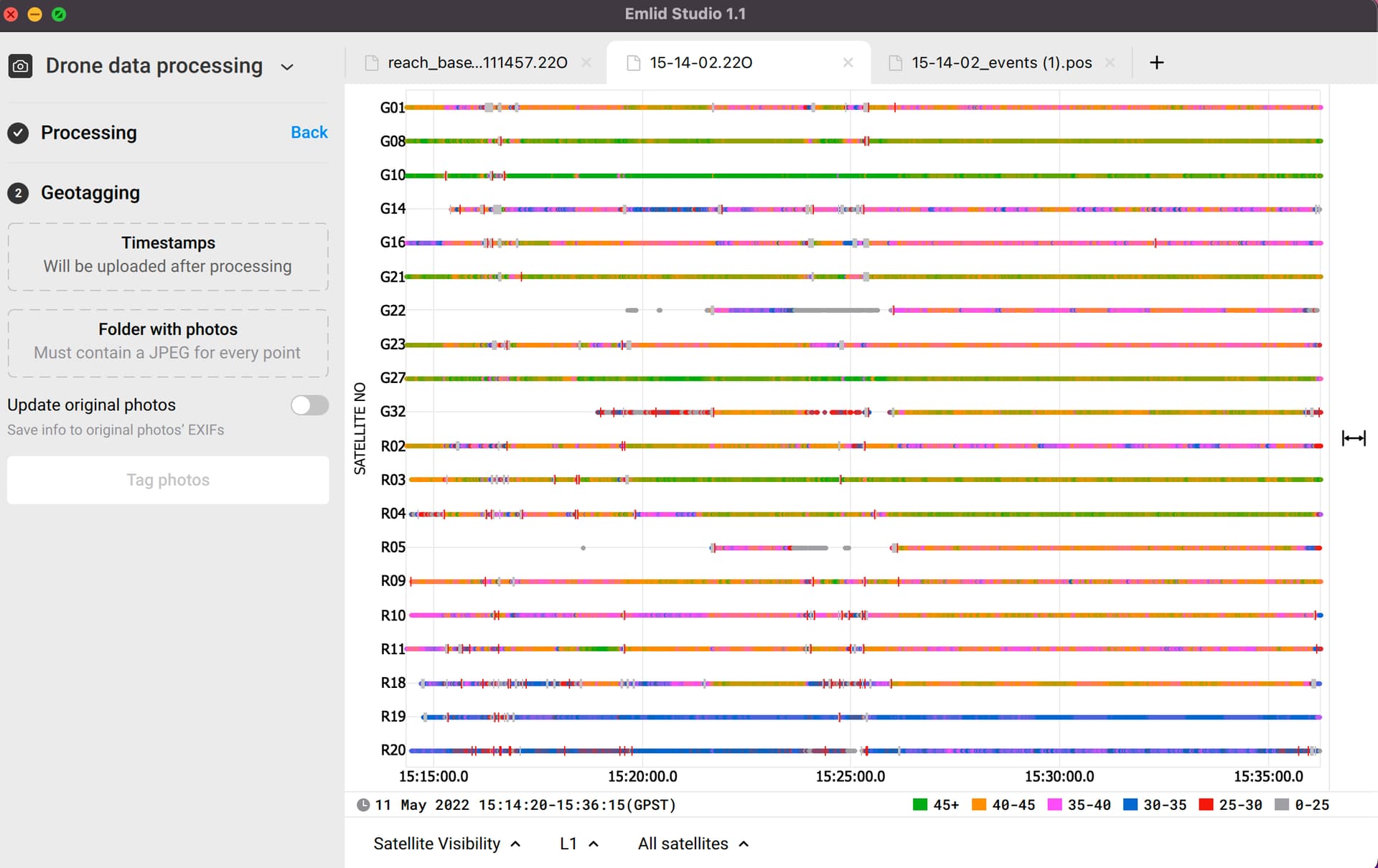
I’ve also checked the base log, and it looks fine. What software do you use to do PPK? It processes smoothly in Emlid Studio.
I managed to solve the shp export issue, thanks for the help.
Still, I can’t process my images in PPK with emlidstudio neither. I managed to generate a .pos file and an events.pos file and they look fine, but I am not able to tag photos. I am having 2 issues about it:
I have a folder containing 214 photos corresponding to the correctly detected 214 events in the timestamps. However, emlidstudio is detecting 215 photos in the folder and I have to take one out of the folder.
You can download the folder at this link: https://we.tl/t-QkRKlZcpA5
I’ve processed your data and geotagged all 214 photos without any issues. So I’ve checked the technical report you shared and found the issue. You have a “Thumbs.db” file in your folder with photos. That’s why Emlid Studio recognizes 215 objects, and when you remove one image, the software still can’t process it.
Deleting this file should help you, but it was absent in the folder that you shared. So, I assume it may be a temporary or hidden file.
Thanks for your help Anna, you were right. There was a hidden file in the folder.
Now I am wondering why the processing is working with emlidstudio and not with the other software (toposetter, from topodrone).
I didn’t have good quality data, probably due to gaps in GNSS signal, and topodrone support told me that this was the reason why the image processing was not even starting. So now I am thinking, is emlidstudio less demanding regarding data quality input?
I’ve rechecked your logs, and the data isn’t that bad. Yeah, it has some cycle slips, but It’s workable.
Regarding accuracy, I’m unfamiliar with Toposetter, so I can speak only from the Emlid Studio side. Algorithms of various software differ, and Emlid Studio is optimized for Reach devices. So, you can be sure of data quality.