


The base setup is essential and one of the most important parts of any survey. The rover measures its position relative to the base. This means that even though measured with the centimeter precision, the coordinates of the rover are only as accurate as the base placement.
We’ve prepared a whole section about base setup in our Docs, and today we would like to take a closer look at the factors you should consider when setting up your base.
Coordinate system setup
To accurately represent the position of objects on Earth, every survey requires a coordinate system setup. The foundation of every coordinate system is datum. It contains information about the mathematical model of the Earth (ellipsoid) and how it is aligned with the Earth’s surface, providing the reference frame for the measurements.
Check your base’s datum in the technical assignment, official documents, or if you don’t have any, in the public registry of geodetic parameters—EPSG registry.
In Emlid Flow, you can double-check the datum after setting up the coordinate system in the project on the rover. You will see a notification indicating the required datum on the base.
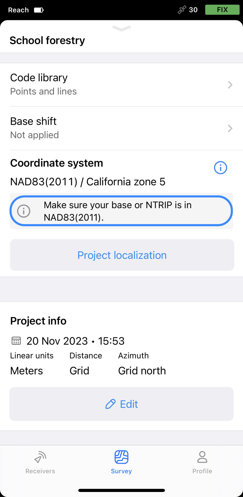
Learn more information about coordinate system setup in Choosing base setup method and Introduction to coordinate systems in our Docs.
Positioning
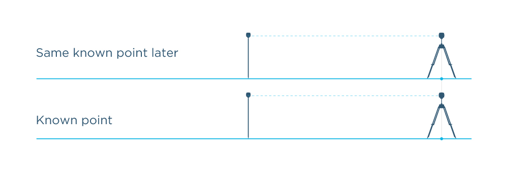
In addition to the base’s datum, you should always consider the method you set your base’s coordinates. There are basically two methods: specify the known point coordinates or average the position of your base in SINGLE.
In both cases, the rover measurements will be centimeter-precise, but the absolute accuracy will always depend on the accuracy of the base position. You can obtain high relative accuracy (averaging in SINGLE) or absolute accuracy (using the known coordinates).
Relative positioning or averaging base position in SINGLE
This method you can use if you don’t have a known point and you only need to measure the objects relative to each other in a particular survey.
Averaging of base position in SINGLE is done in standalone mode without using any corrections and the position of the base is determined with the accuracy of several meters. The rover measurements will be centimeter-precise only relative to the base but their actual accuracy in the selected coordinate system will be at meter level.

We won’t cover the Averaging base’s position in SINGLE setup in detail; you can learn more in the corresponding guide. We’ll focus on the recommended method, which includes a variety of ways to set up your base over a known point and enter the coordinates in the Emlid Flow app.
Absolute positioning or setting up base over known point
This is the recommended method if you want to get repeatable centimeter-accurate results.
Entering the known position of the base “pins” your RTK setup to the right place on the ground. This way, the positions measured with the rover will be precise and accurate in the selected coordinate system to the centimeter level.
You can set up your base over the known point in several ways:
- Find a benchmark in the area of your interest and then enter the coordinates manually, or import the known point coordinates from the existing project using the point picker option in the Emlid Flow app.
- If the benchmark or a known point is located in hard to reach point but you’re nearby, you can use the benchmark coordinates to apply the base shift feature in Emlid Flow.
- Set the known point coordinates by receiving corrections from an NTRIP service on your base set up as a rover and averaging its position in FIX.
- Determine the known point coordinates by recording a log on your base and post-processing it in Emlid Studio using the Static processing workflow.
- Determine the known point coordinates using online post-processing services. The process is practically the same as we mentioned in the previous variant: place your base, record a log, and process it in one of the available services such as OPUS, AUSPOS, NRCAN, IBGE.
These are the main points to consider when setting up your base. Remember that the wrong base setup is the most frequent reason for a coordinates mismatch in the resulting survey. Let us know in the comments below if you have any questions or want to add anything else you think is important. What kind of base setup do you usually use?
If you have difficulties setting up your base or got a coordinates mismatch, you can always contact us directly at support@emlid.com.