


One need to look at the spec for that particular station to see what antenna is used. For concept or testing i think it could be blank.
Ah… or did you mean for the RS?
C1=65mm and if you use adapter, add that too to the total.
Thanks. How do I manually add my 3 CORS stations to GNSS? I have imported my rover rinex file but I am not sure how to manually setup the 3 stations that I will be importing observation data for?
You see my point for the Reach file imported.
EDIT: I think I found where to import the CORS via NGS
Are you gonna use those 3 cors multiple times in the future or just this time?
Multiple times.
It should look something like this GNSS Solution. Compute VRS with baseline up to 1000km and usage of 15min Rapid Static - #9 by TB_RTK
Do you have a link to the FTP site?
Which FTP site are you referring? I am going to start over as my imported observation is not right. Going to try it again.
Did you adjust baseline value? i think it is set to default 200km…
I had set it to 150km since the 3 Cors units I wanted to use data from are within 150km. I know it can be further, I was just trying to learn the process. Going to start back over and follow your steps precisely 
CORS should have a FTP service. Do you have a link to your cors service?
Ahh, yes sir! I have downloaded the files. I am going to zip up my files and see if you can look. The contents are:
- Log file (Raw) and Converted
- Files from Cors Stations.
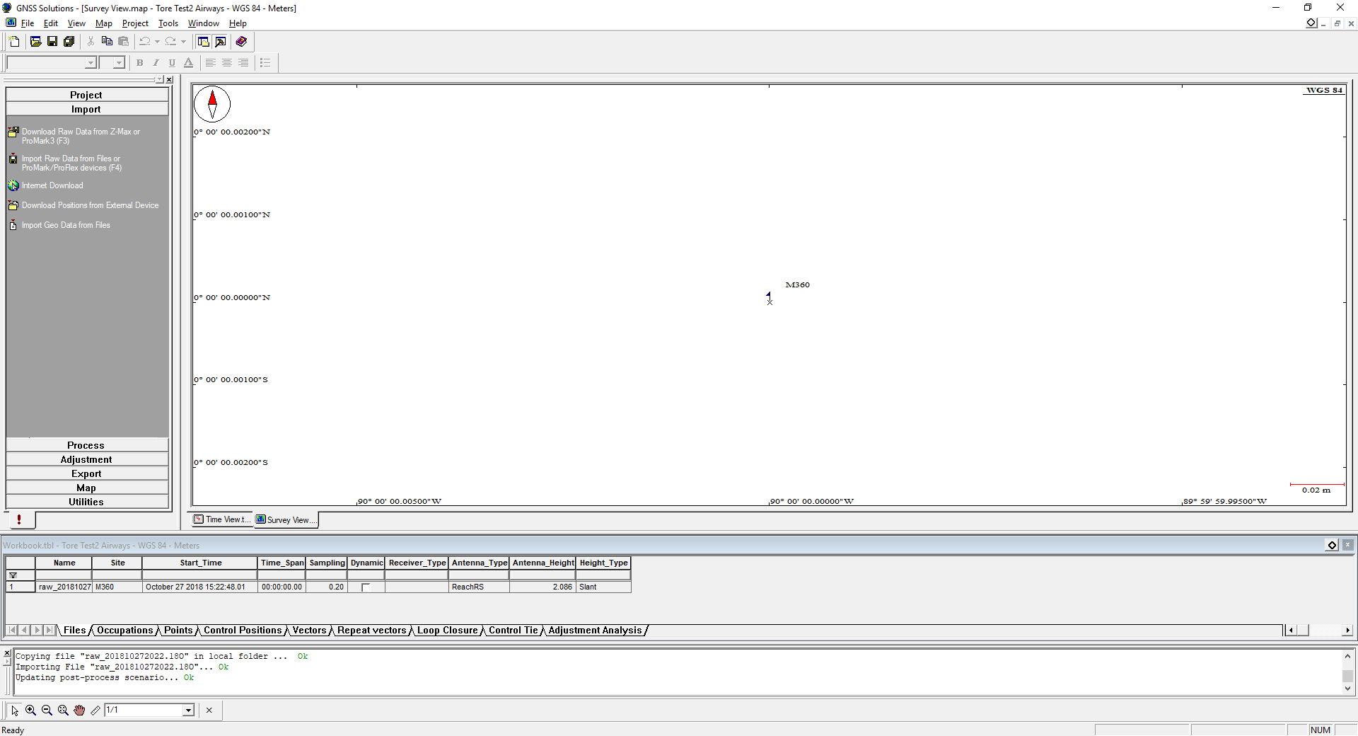
When I import the 18o file from my Reach RS into GNSS it crashes. Not sure why.
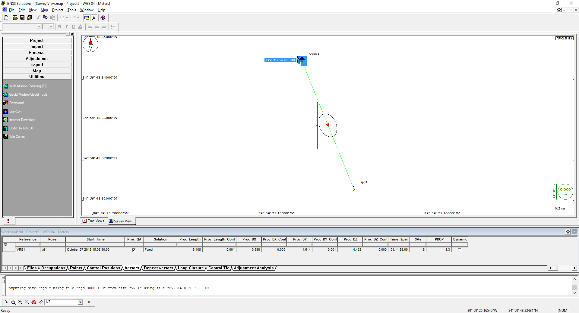
tore, Last and final question. I can’t find the observation files that exist for the VRS? Where do I find those files so that I can use the VRS as a new "Base (reference) Station?
thanks for all of your help!!
The files I sent you are for a static observation over known marker:
https://www.ngs.noaa.gov/cgi-bin/ds_mark.prl?PidBox=AJ2658
Maybe I will join here 
Report_Dicky.pdf (427.9 KB)
vrs12890.pdf (1.6 MB)
1 Like
dicky.zip (9.3 MB)
Here is a brief explanation of why I joined this thread in this way. Our program is simply used here, which we no longer offer. It was needed for the previous receiver.
 …
…
So do you now offer your software free?
not really, I just wanted to show that the method is accurate but it’s hard to describe the algorithm for the forum - with my example, this probably explains a lot
In you picture above, select vector and save or export from menu to the left.
GNSS could be really picky about the files and if its not in the right format.
I could take a look later but i am really busy at moment
Here is your observation files you can use.
Gnss.zip (571.1 KB)
Edit: i noticed you might have managed it your self.