If the control points have known coords, I’d use those if they are accessible on the ground. It’s less room for error. Although you’ll have to convert his coords to lat/long/ellipsoid for use in Reachview 3.
I don’t see anything wrong with the way you’re doing it though. It’s just not my standard way of doing things.
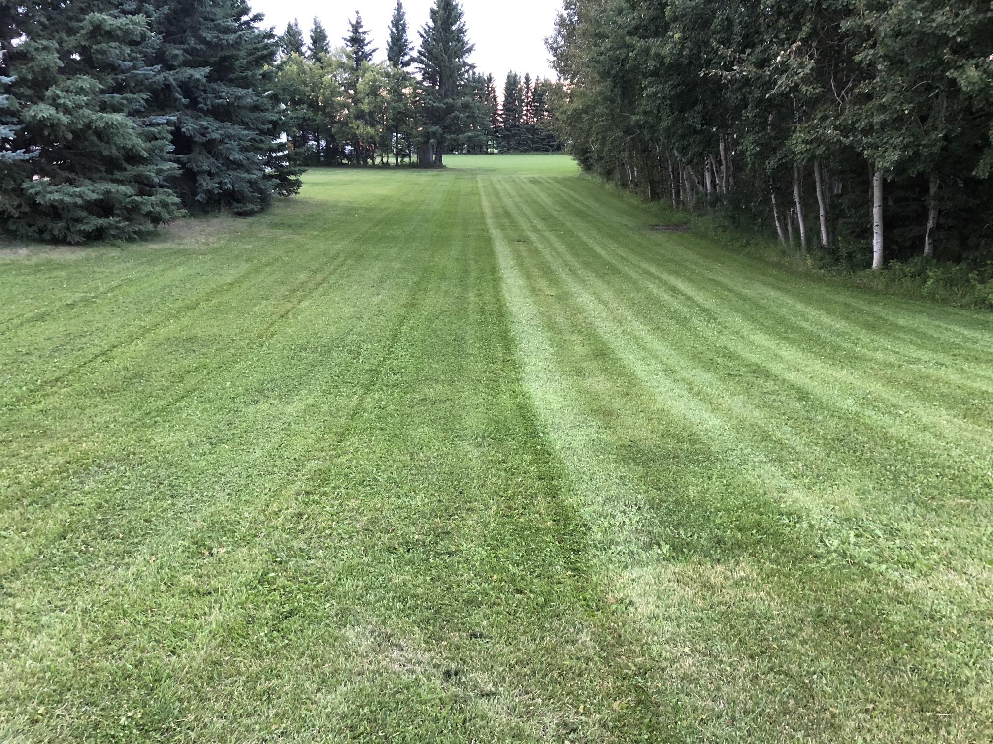
I got my system working today and my rover is providing good location data to my farming guidance app. The app is misbehaving a bit though. Nothing to do with the M2. It is setting and following my grid lines but it isn’t providing a good application swath. That’s a separate issue. I will contact the author of the app about that.
My next step is to get an exact location for my base setup. But that may not be as easy as I had assumed. I checked the concrete monument, but it has no coordinates on it. Perhaps that doesn’t really matter. If I can determine a relative set of coordinates for it using my base, and never move my base ever again (except to store it away of course), then everything I do care about (survey stakes, lot lines, planting spreading, etc) will still all be relative. I can then apply a constant correction to everything later on if and when I do find an exact location.
OK. I guess I was mistaken about there being gps coordinates on the concrete monument. Maybe there was at one time, but they are gone now. In fact, the monument is pretty highly damaged. It wasn’t like that a few years ago. The neighbour bought a monster tractor and some huge tillage equipment. I’m guessing he accidentally hit it.
So I’m back to square one. If I want accurate locations, I will have to calibrate my base’s exact location some other way. I’ll have to re-read some of the advice others have provided (like using OPUS etc) and give it a go. If all else fails, my son’s employer has a professional subscription based setup at their office to support their excavation business. Maybe I can borrow that for a weekend.
If you are only using it for pass to pass guidance.
1 Find a permanent spot
2 Survey in for the full 30 min
3 Record the location of that spot in a safe place
As long as you use the same coordinates with the same spot, all your passes relative to that base will be accurate to themselves with no issues year after year.
It’s a good thing I love learning Frank. This stuff is all new to me. I am so lost its almost laughable. Everything I read has words, terms, and acronyms in it that I don’t understand. I’m trying hard to look them up whenever I see a new one. But that usually just leads to even more new words I’ve never seen. So ya, I will definitely appreciate any and all help I can get.
In that case, the simplest way would be to use a post-processing service like OPUS, or a Precise Point Positioning service like NRCAN’s PPP. Both will yield good results by themselves for your use-case. It only requires you to do a very long static observation on the point that will become your benchmark.
Here there are no coordinates on the monuments either. All coordinates and locations are distributed on a national webpages.
Maybe it is the same over there?
Btw, here monuments listed and protected. Damage done to them need to be reported and will then be rectified.
Please don’t forget that I am a total newbie. Where / how do I record this data?
Assuming that outfits like NRCAN/OPUS act like super bases that stores the signal offsets or measured error over continuous time, I don’t understand how this could work. These places don’t know exactly where I am any more than I do. How do they figure that out? Isn’t their location offsets different than mine because they are so far away?
If so, maybe I am better off using a reference in the USA. Cleveland Ohio is right across lake Erie from me.
Yes. But I also want to locate my farm boundaries and survey stakes. A few of my neighbours want me to help with that too.
Also, what app/program do you use for your tractor guidance system?
I’ve been using “Field Navigator” till now for spraying and fertilizing. It seemed to work so-so for these operations using my android phone’s built-in gps. But yesterday I tried it for the first time with my emlid m2, and it kinda fell apart with funny looking swaths. Here is a photo of what it looks like. It should be a flat swath from side to side following the tractor by my set spacing instead of the series of triangles emanating from the tractor.
OPUS does use a network of CORS (Continuously Operating Reference Stations) and, simplified, works a bit like the post-processing you could do with your base and rover. It’s just done after the fact. You provide your rover data (which could be in actuality your base, sitting on the point for several hours) and they post-process it against the network.
NRCAN’s Precise Point Positioning (PPP) works differently. It doesn’t require a network of reference stations, it only works off of satellite orbit ephemeris (wher the satellites were precisely at each measurement) and atmospheric conditions (how the signal is affected), which can be refined after the fact. PPP works everywhere in the world, contrary to OPUS, but the results are similar. There is no baseline here, only your receiver is used in the calculation. You can still get centimetric results with an RS2 if everything was done right.
OPUS is a little bit less tolerant (unless there were upgrades recently) to file formatting and it only uses the GPS constellation with a pretty low refresh rate whereas PPP uses both GPS and GLONASS and will process higher refresh rates, so more data for the same observation time.
edit
If you want info on any monuments and more specificly the one close to your farm, check this app from Ontario gov. In the COSINE retrieval section, you can draw rectangles around the stations you want to get the data from, select them in the list and then view the full reports with coordinates and other info.
Thank you! The nrcan app worked! First I tried it with my phone but the app would not cooperate. I couldn’t zoom or pan easily. And selecting monuments was impossible. So I gave up and tried it with a computer instead. After a fair bit of flogging around I was able to find a nearby monument and then after more flogging I was able to get the exact coordinates.
The damaged monument I was originally hoping to use is not included in their database.
Now… I need to hope that my LoRa radios will reach that far… I wonder if that somehow relates to Emlid “Reach”? It is raining here today so it will probably be a few days before I can try it.
I am nowhere near that and don’t expect I ever will be. My farm is too small for that, my two tractors don’t have the hydraulics to support it, and it would be too expensive. I just want a screen that shows guidance paths that I follow by steering the tractor myself. For example Field Navigator or Field Companion - both for Android.
Right now I am using my phone screen but I plan to get an inexpensive android tablet with a bigger display to use for that soon.
I did a read through of some of the AgOpen threads. Omg! It’s been 30 years since I looked at coding anything at that level. The good news is that I actually did that kind of coding back in the early days of computers, and I actually did write programs in machine language, then assembly language, and long after that in higher level compiled languages too. But a lot seems to have happened in the interim. The discussions around canbus and the various “people in charge” (steering man, controller man, operator man, gps man, etc) were hilarious but I can relate!
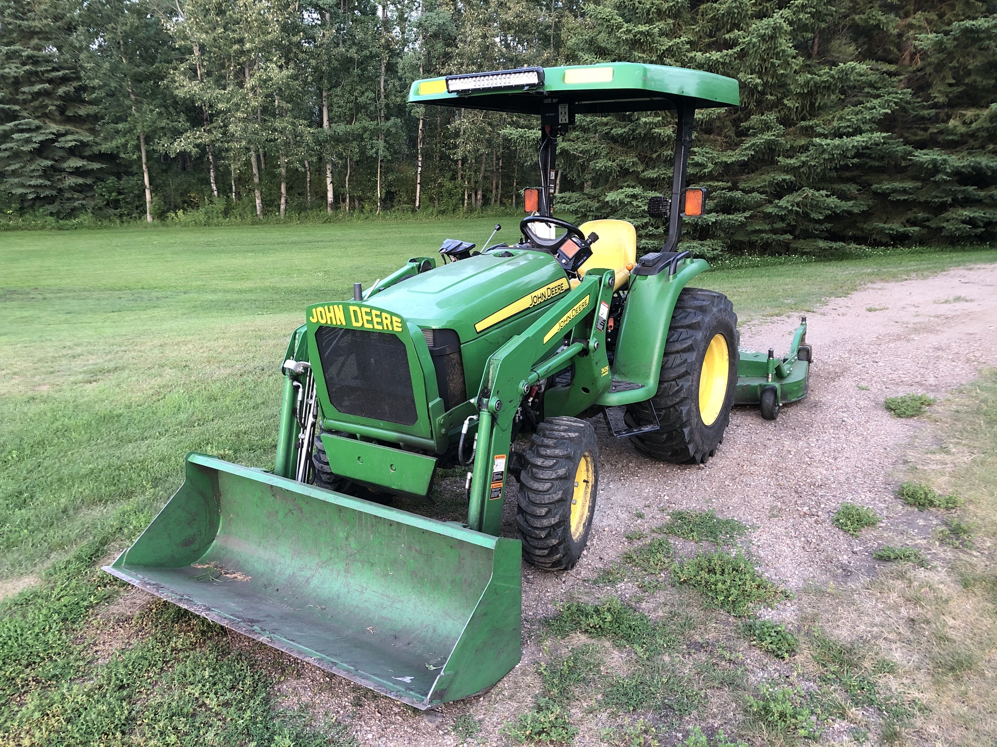
Before I start to dive in (to prepare for next winters project), I wonder if you can give me some starting advice. My big tractor is a Deere 6420 w cab, my utility tractor is a Deere 5210 open station, and my little tractor is a Deere 749 Open Cab. I use all three for various field jobs (spraying, fertilizing, and planting) that might benefit from guidance. In fact, I also use a Kubota ATV RTV900-XT for spreading cover crops and localized fertilizer. I don’t think any of them are “Auto Steer Ready”. But maybe I am wrong. I think that means I have to access the steering wheel itself or the steering wheel shaft.
So, the weather and honey-do jobs finally allowed me to get out and use that monument to determine my bases true location.
Everything seemed to go GREAT for a while. The LoRa radio reached with no problem and the RTK worked fine.
However, I cannot seem to find a way to get a gps reading at the rover over the monument that has any decent precision to it. Lat/Long & height were only good to 4 decimal places. (eg xx.xxxx). All the apps I tried to use wouldn’t give me any more decimal places.
I can use the web or the Emlid app to see the additional digits, but that only seems to work when the M2 is connected to my home network which is nowhere near the monument.
Does anyone know of a trick of some kind (or an android app) that will provide access to the full decimal places that the rover has for its location? At least enough to get me to the cm level?