Hello everyone,
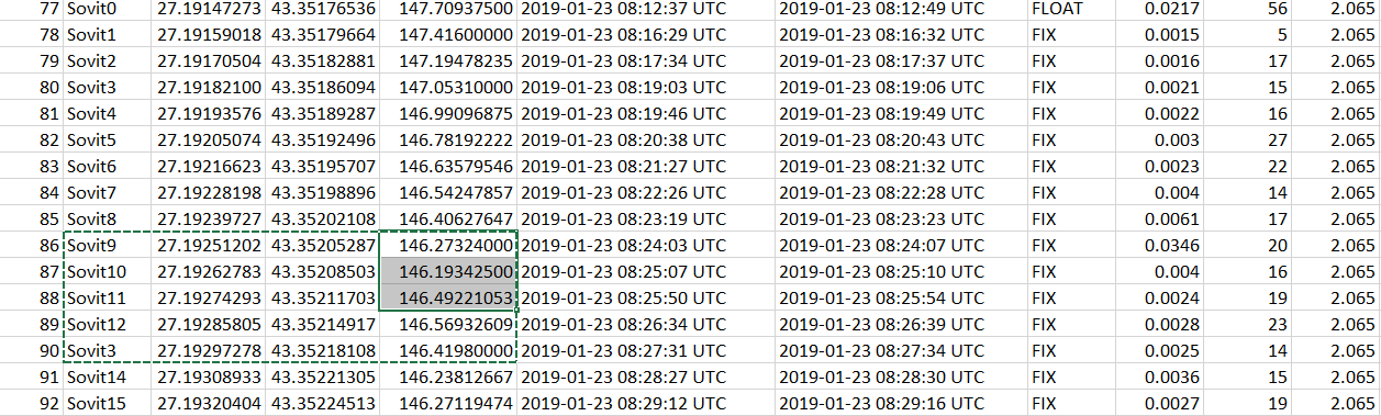
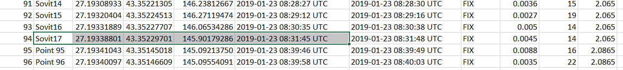
I recently experienced something strange with Reach RS+. I’ ve made a stake out and have surveyed each point. The results were surprising because since point sovit11 elevations were rising and they should be decreasing.
.
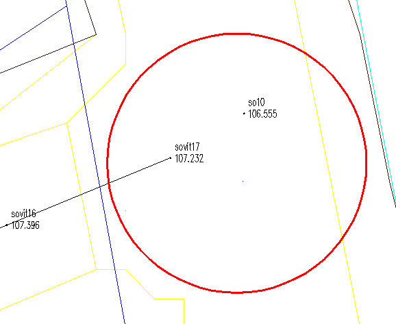
i have finished surveying the street and it crosses with recently surveyed street and elevations differ with about 80 cm.
The elevations in second pictures are transformed with a licensed program from ellipsoidal to Baltic height system, and they also differ in ellipsoidal height.
You were measuring each point only for 3-5 seconds. I would suggest measuring it for longer time (at least 10 seconds). Points are measured in Novi Pazar, Bulgaria?
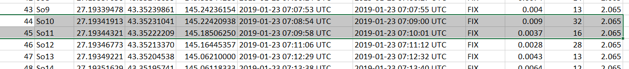
I was using 1Yocto network. The interesting thing is that all points are in straight line, meaning that X and Y are ok, even elevations collected by 2019-01-23 08:25:10 UTC are ok even with 2-3 sec. I have previous data collected by a surveying firm with gps, that matches elevations measured with emlid.
Hi,
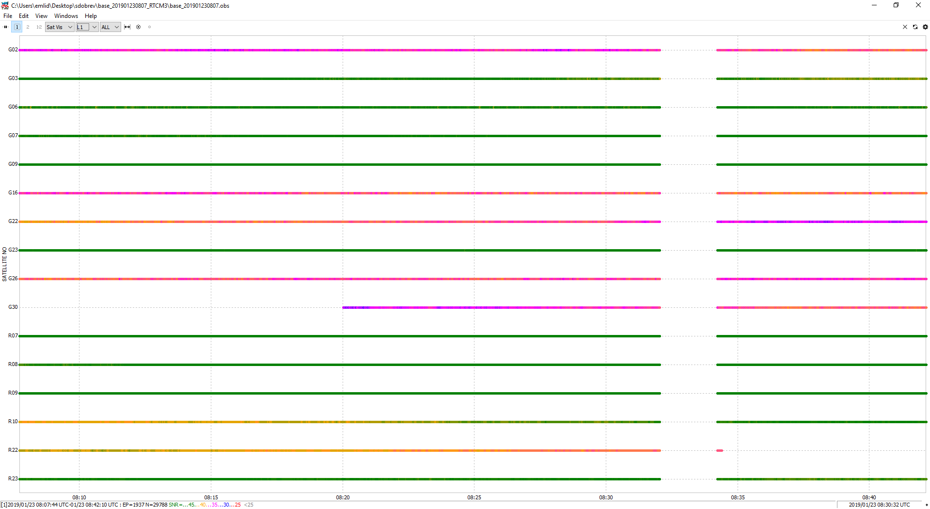
I had the base corrections set for collecting RTCM data. I have attached them in case they can be in any use.
Can you share how to open these type of files?base_201901230646_RTCM3.zip (572.3 KB) base_201901230807_RTCM3.zip (386.5 KB)
Thanks for the help. I am using Reach Rs+ in my practice, and if i encounter something else which is strange, i will let you know. I have made an initial test when i bought Reach and compared points measured with Trimble R4 and Reach RS, and results were satisfying, but i was using a pole holder and were gathering observations for longer periods (couple of minutes).