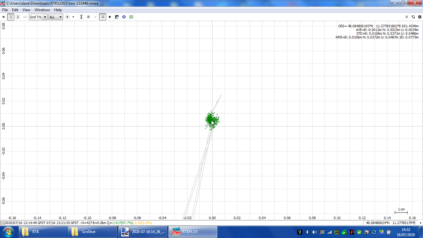
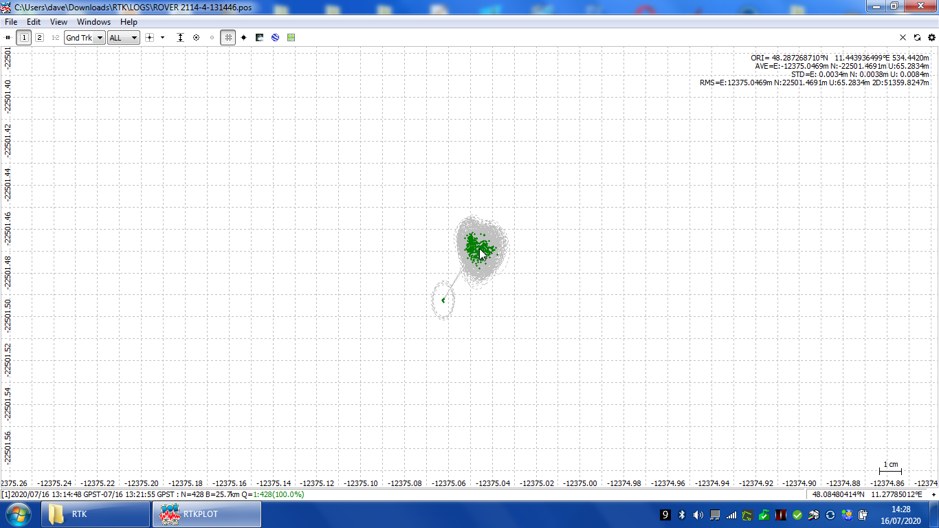
I’ve been using RTKNavi to process two CORS stations (26Km apart) and noticed a difference between the logged RTK NMEA output from RTKNavi and the POS file from RTKpost using the converted RCTM files from logged output of RTKnavi
I load the NMEA into RTKPlot and the centre of the cluster is one location and load the POS file and get a different centre location. If I load both at the same time (Solution 1 and 2) they overlap.
What I’m doing wrong or incorrectly interpreting ?
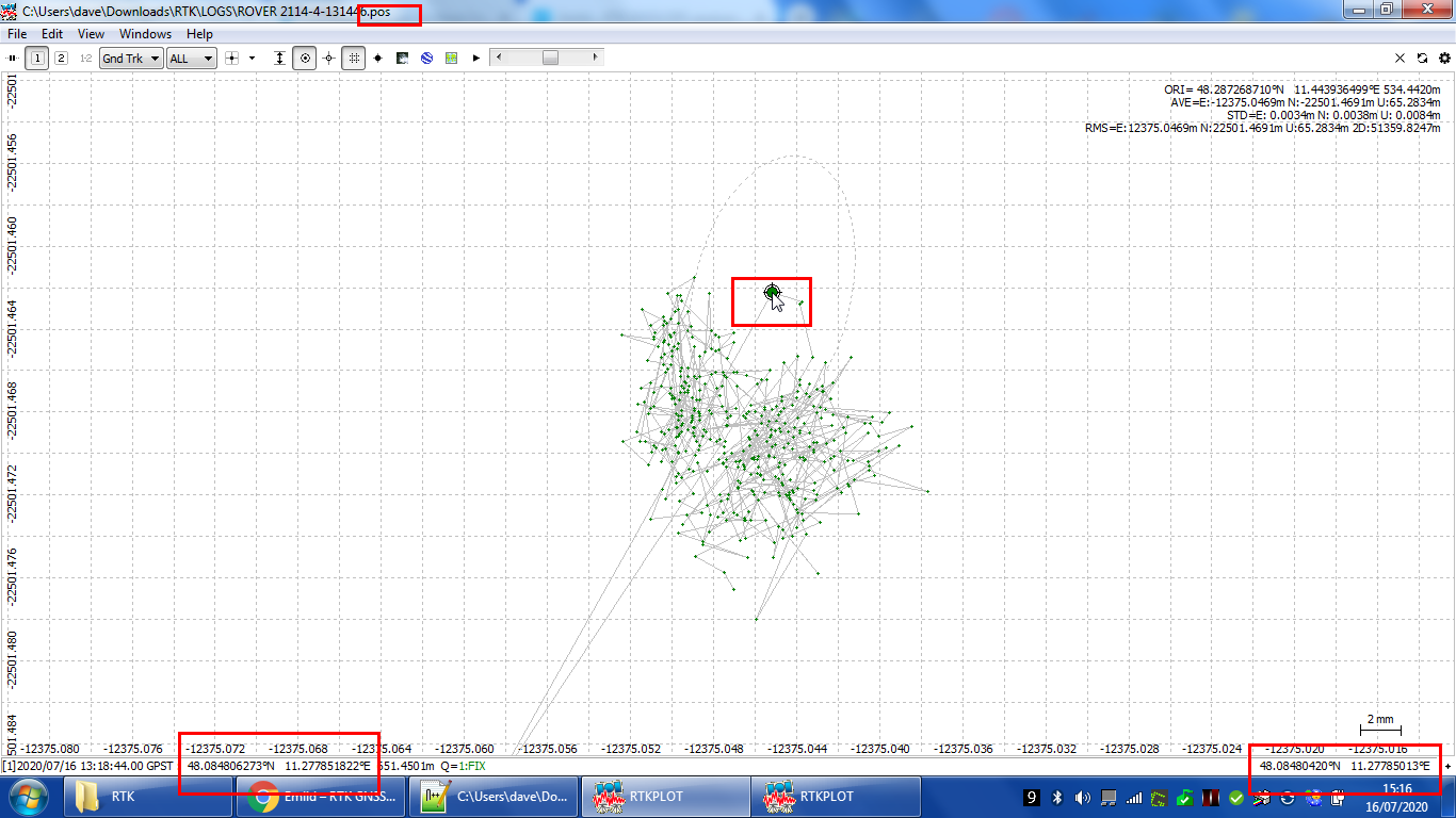
What it appears to be, is a discrepancy between the cursor? position (bottom right) and the log position (lower left) for the same place on the screen with the POS file - they read the same with the NMEA file
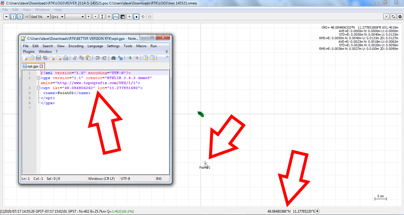
One odd thing I have noticed is when I load a POS file into version b33 waypoints show in the wrong place on RTKplot
In version 2.4.3 demo5 b26 the waypoint is in the correct expected place with the exactly the same files loaded. It seems every version of the RTKlib suite has it’s own errors.