I’m just trying to think of a super simple way to both georeference and view and layout on the same device…
These solutions are things that make surveyors groan…
but…
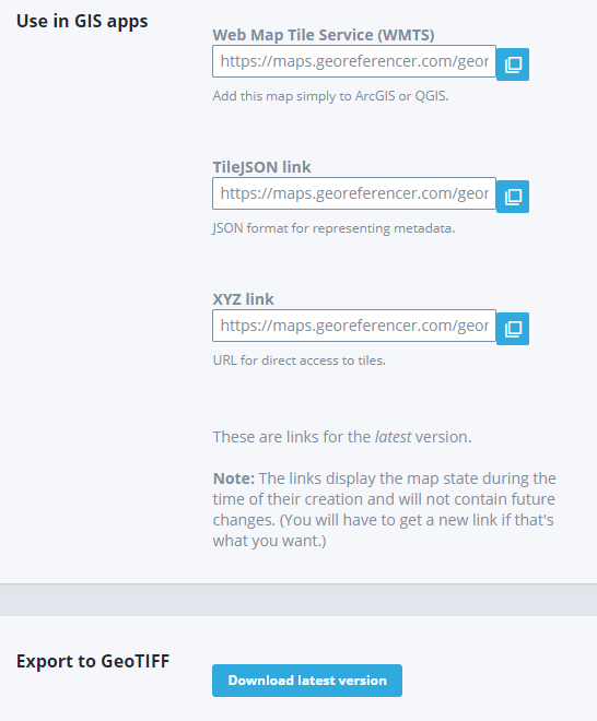
This is an online solution that does the georeferencing that you need but your pdf’s will need to be converted to rasters. I’ve used it extensively for historical maps but not for small site plans. I thought it required a windows device but it seems to work on my iPad.
If the georeferencing process was simple but accurate enough for you we could surely think up a good way to view the georeferenced image.
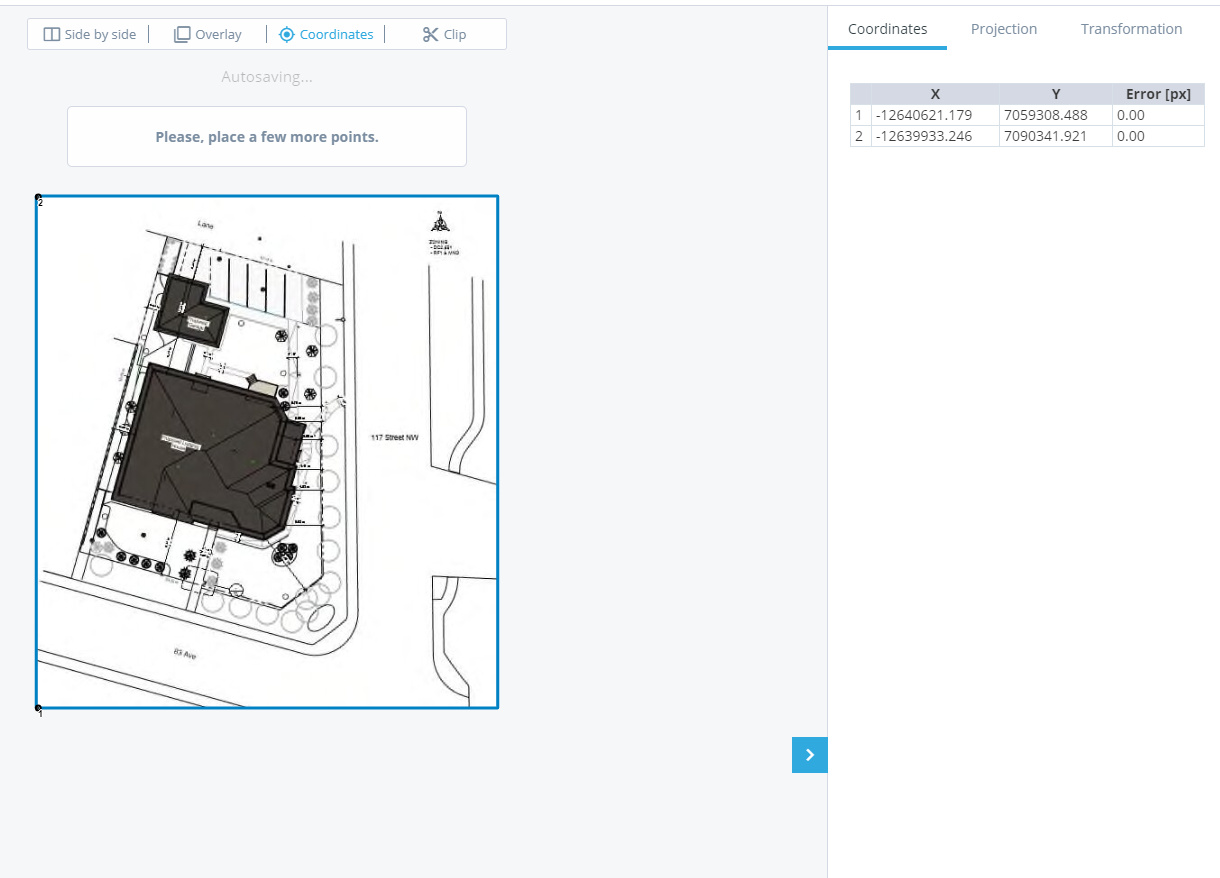
You can enter coordinates to georef. the image. I think that would be your solution.
Are there simple ways to georeference a .dxf on a mobile device? Like Autocad mobile app?
If we were given a pdf site plan the workflow would be as follows?
a) Get pdf site plan
b) convert to dxf.
c) georef’ .dxf. (is this the same as “localization” in this case?)
d) view and layout in “any” survey software?
I think that is part of the problem… This industry is built around surveyors needs, but now because of the Emlid price point it has opened up GPS to new trades. The software just hasn’t caught up yet.
As far as the georeferencing here is the ideal workflow:
Load pdf/raster into program
Walk to physical point with GPS
Zoom in on raster and select point on plan
Log/Repeat
Once enough points have been collected select georeference and check points
MicroSurvey CAD will do that easily enough. I guess I am just unsure of the localization process and how the drawing looks to the end user. Maybe Field Genius is the solution if it can easily localize a DXF document?
Localization allows you to set up your base station on a fake coordinate that is relatively close to the position of where you want to set it up. You then localized or check into other control points and it assigns a GPS coordinate to the grid coordinate and prorate the error across the control Network. It doesn’t look any different to the user. I do think fieldgenius is the best option at this point, but depending upon your end goal a lesser mobile device software maybe good enough.
When it comes out, I think the NEW Microsurvey FieldGenius for ANDROID has a new map feature where you can load Bing Maps (maybe others) in the background and then overlay your DXF etc? I think Carlson SurvCE/PC does Bing Maps to??? Stuff you’ll have to talk to them about if interested.
No, this is a great discussion, glad to have your input. I actually use maptiler and it works great if you are georefencing to google maps. However, I am referencing to jeojson points. New construction sites do not have up to date imagery, and I don’t think it would be accurate enough.
Georeferencing is a straight alignment that puts the site on assumed coordinates. Localizing is similar, but it accounts for the actual condition of the monuments on the ground. If you have ever measured the pins on a plat they are never perfectly where it says they are.