I would like to connect my RS2+ with ArcGIS Field Maps. I am only seeing the option to connect Bluetooth GNSS in the app, but I am not sure that this is the only way. Is it possible to setup a TCP or other connection to Field Maps?
Also, when does Emlid plan on supporting Bluetooth on iOS?
I would like to use Field Maps on iOS, as it works better on iOS. Any means is fine with me.
I’ve used Survey123 and Field Maps with the RS2. On iOS you only have the option of TCP with Survey123. There is no such TCP option with Field Maps (at least the last time I was using the app). Your only choice is to use Bluetooth with an Android device for Field Maps.
They do have Bluetooth support! Certain apps, however, require the TCP integration. See below for survey, 1 to 3 instructions on their documentation site:ArcGIS Survey123 integration | Reach RS2/RS2+
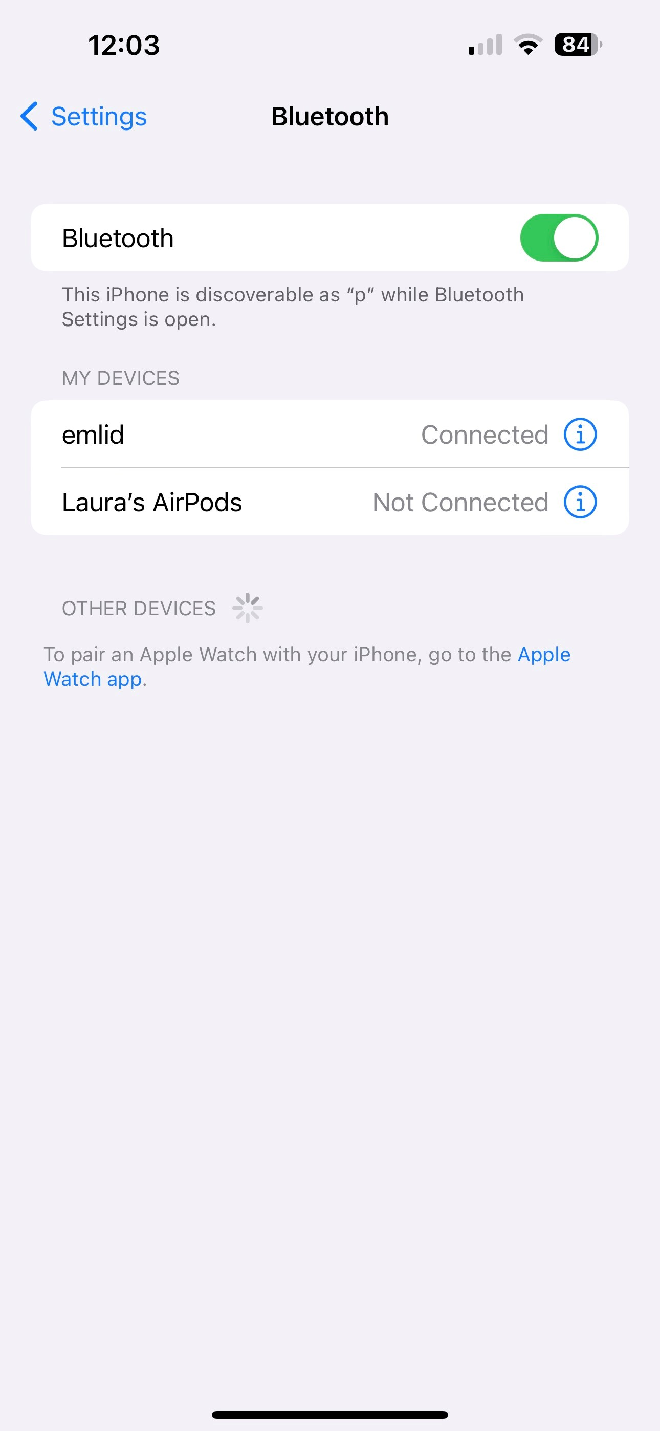
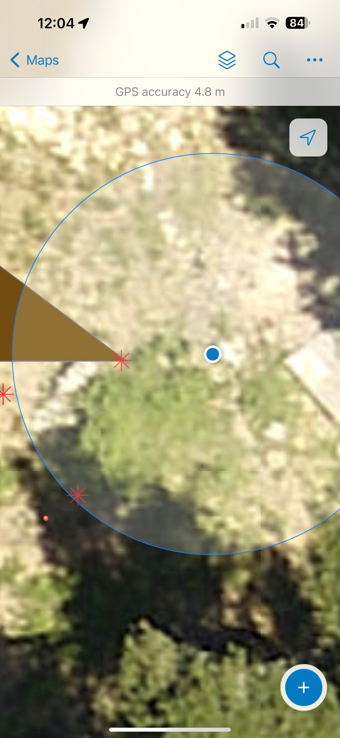
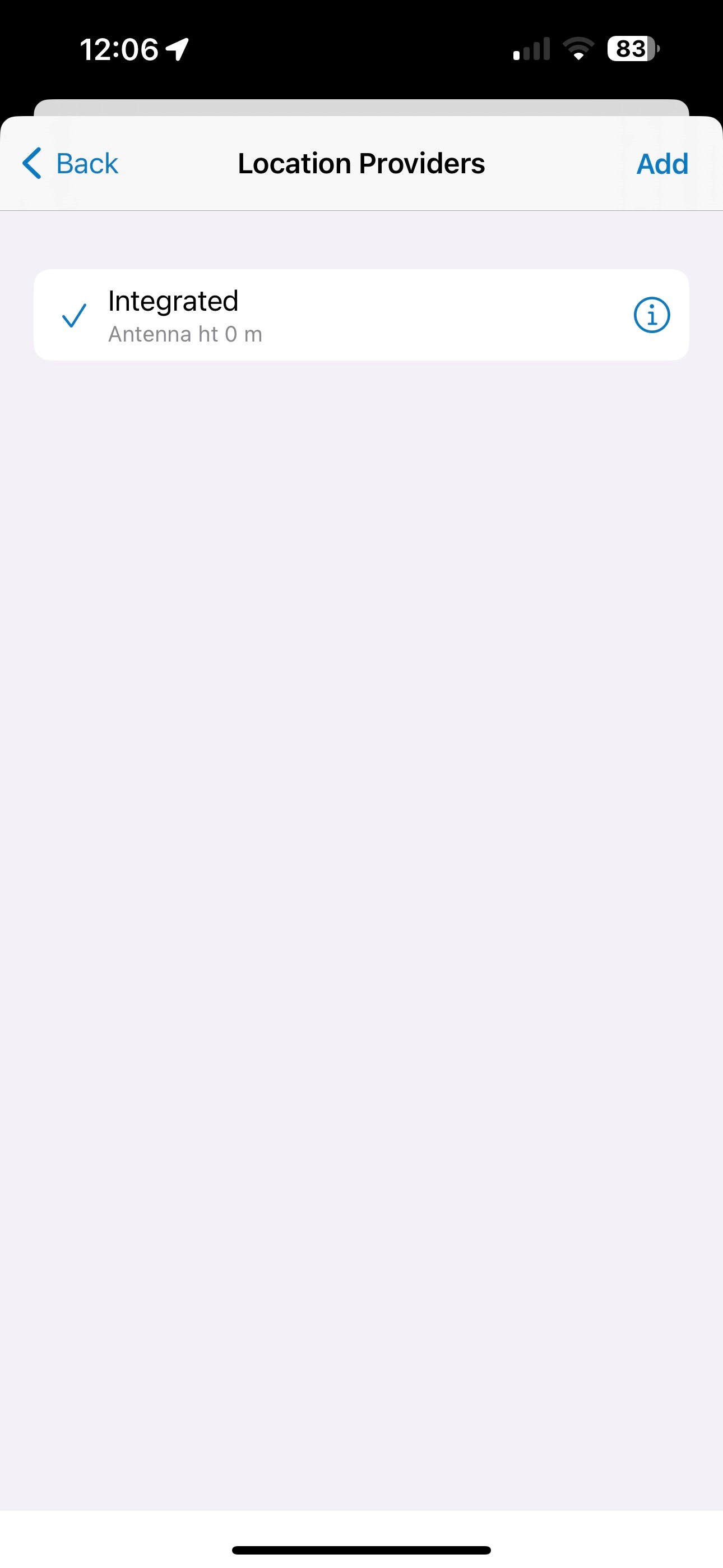
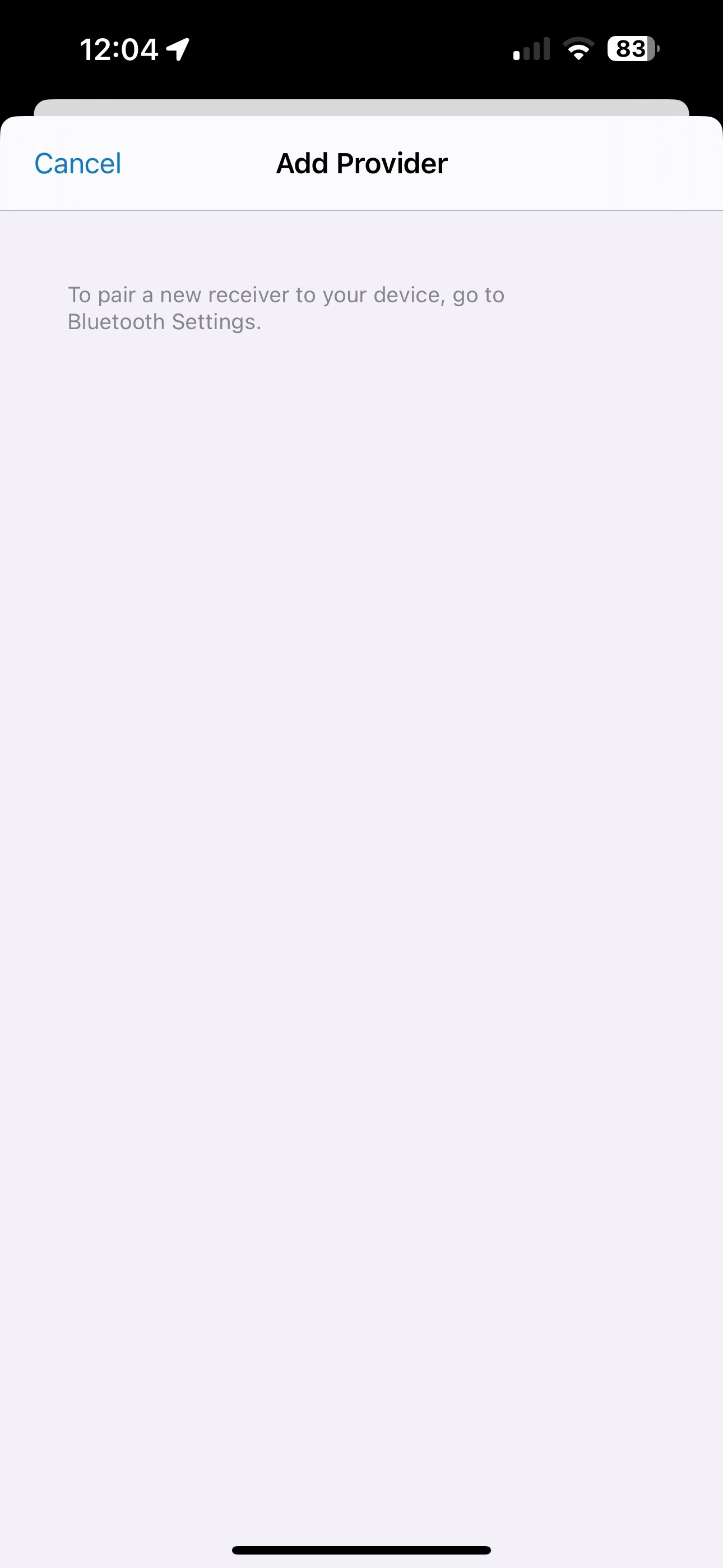
From what it looks like, the Bluetooth support only works on Android. iOS is able to connect to the device via Bluetooth, but the RS2+ doesn’t register as a GNSS device. The integrated GNSS continues to be what location comes from.
Other units, like Bad Elf, for example, will connect via Bluetooth, and then all apps use that device for location. There might be some extra legwork to get this working on the firmware? For example, Apple’s Bonjour functionality is a superset to the Bluetooth protocol.
Emlid Flow and Survey123 work fine via TCP/IP, as this is just talking to an HTTP REST API via the local network. Most apps, however, don’t know how to do this.
I should be able to make due with Survey123, but Field Maps is a better fit for my use cases. I tried Field Maps on an Android device, but the app kept crashing when trying to download an offline map. From what I hear from Esri, iOS support and stability for Field Maps is better than Android on their end.
I want to confirm that iOS devices don’t support a classic Bluetooth connection with Reach. You can only work with iOS apps that have a TCP connection option.