Change Map Style

Sorry for creating a new topic, but I’m not sure how to respond on this Closed topic:

I would like to continue the discussion of changing the basemap style.
As others have stated, it has also been my experience that the current basemap provides almost no value in rural areas. It is completely gray when you aren’t by any roads.

I understand that development resources are limited, but since ReachView 3 uses MapBox for its map rendering this should be a simple request.

There are already a large number of available basemaps (“styles” in mapbox) to accomplish this that are already built into MapBox.

The only thing that would need to be programmed would be adding a button or dropdown to select which MapBox style you wanted. (The provided “Satellite” or “Satellite Streets” styles would be perfect for many rural projects)

Thank you for your consideration!

7 Likes

Hi @mossjm,

It’s even better that you created a new topic!

Indeed, satellite maps provide much more data in rural areas. We would have added it, but satellite imagery weighs too much. Even a browser on a PC may lag when you try to load satellite maps, especially when your Internet connection isn’t that good. Imagine what happens with low-end mobile phones.

We’re not giving up on this, but we need to find a way to make this feature avaliable on all devices we support.

4 Likes

Is it possible to download a portion of a base map from a server before going into the field and use that in the field so you are not relying on mobile data to update the map?

4 Likes

There is no such a feature in ReachView 3, so you can’t do this on purpose.

As a workaround, if you open a project, download maps, and then turn off mobile data, the map should still be there. Only a small part of the map, but it may help. It may work differently on different phones, so please test it before going to the field.

1 Like

Thanks for your response @svetlana.nikolenko !

As far as the satellite imagery “weighing too much”, it was my understanding that those maps get loaded dynamically after they have been requested.

So as long as you keep the default style to the lightweight one, then people can choose whether or not they want to load the heavier styles.

Cellular coverage has come a long way and many people in rural areas can easily load satellite maps.

Thanks again for your consideration!!

2 Likes

I think @bide has suggested for a good while now.

You can use other survey programs / apps to accomplish this instead of waiting for implementation.

Not sure, MicroSurvey FieldGenius for Android may do this by now? Bing Maps?

1 Like

timd 1971, you are correct, FieldGenius Android does display background maps using Bing. Here are the following options from their help menu concerning the view panel options


:

Point Names
Toggle display of point IDs

Media Toggle
Toggle on and off the blue photo number circle next the point number on the map view.

Figures
Toggle display of figures

Scale Bar
Toggle Display of scale bar

Display Road Maps
This option displays road maps that are accessed online. Using this option will use internet data over your wireless connection.

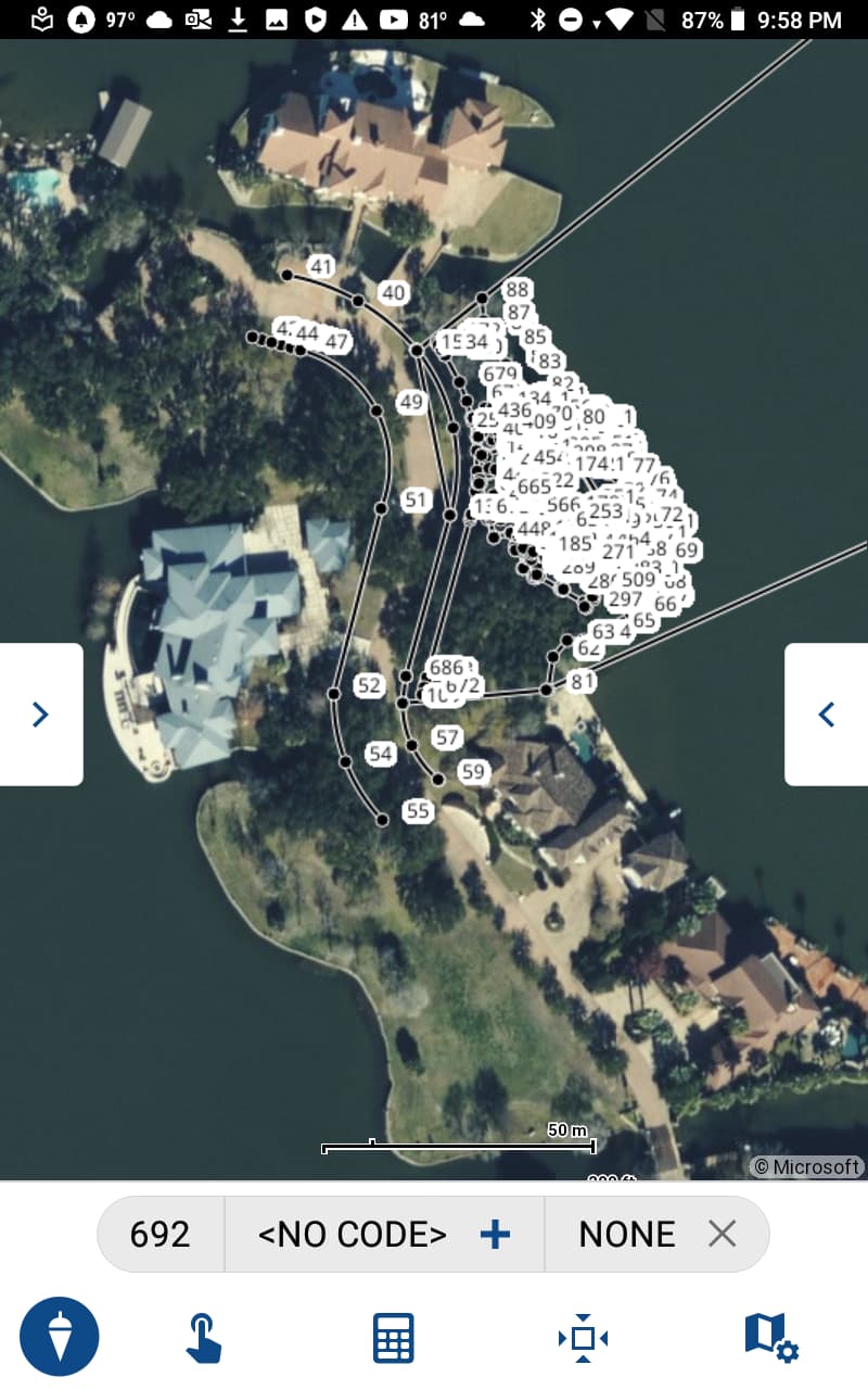
Display Satellite Imagery
This option displays satellite or aerial imagery that is accessed online. Using this option will use internet data over your wireless connection.

Display Topographic Imagery
This option displays road maps that are accessed online. Using this option will use internet data over your wireless connection.

No Background
No online imagery is displayed and wireless data is not used to download background imagery.

WMS
If you have configured a web map service to receive a background image you can select this button to display the downloaded image.

Options
The three dot Options button allows quick access to the Map Tile settings page.

Access Map Tiles settings to configure free streaming services or a private Web map Server
Download the displayed background imagery for offline use
Toggle option to display cached settings

Map Opacity
Adjust this scale so the appearance of any background imagery is faded. Setting this value to 0% will hide the map but will not reduce data usage.

Map View Center
This centers your current position on the map.

Auto Center
This toggles the auto-center feature on or off. If turned on, whenever you take a measurement, the map screen will always re-center on the measured point.

2 Likes

Thanks.

Curious, can FGA display GoogleMaps or future plans for it?

Does the WMS feature work with MapBox?

Does FGA work with Leica 3D Disto yet or plans for it to? I think the Windows based FG does and more Robotic Total Stations for 3D layout, both vertical and horizontal. I.e. walls, ceilings etc.

Hi @mossjm,

Thank you for the request! We collect and consider them all and find the solution in most cases.

"Curious, can FGA display GoogleMaps or future plans for it? "
I’m not sure, I haven’t heard anything about the possibility them using GoogleMaps. I don’t use the background maps feature that frequently, it’s more of a neat than vital feature for me.

“Does the WMS feature work with MapBox?”
I haven’t tried using the WMS feature yet either, so don’t know the answer.

“Does FGA work with Leica 3D Disto yet or plans for it to? I think the Windows based FG does and more Robotic Total Stations for 3D layout, both vertical and horizontal. I.e. walls, ceilings etc.”
FGA doesn’t work with either Leica 3D Disto nor Disto S910, which I own one of and I’m not sure if they will. They do offer each of them as a selection in the Windows version, at least in my ver.10.4. I haven’t tried my S910 unit, because frankly I forgot that FGW worked with the Disto S910 unit. They usually add to the list of GNSS/Total Stations that FGA will work with on each update.
https://helpdesk.microsurvey.com/index.php?/Knowledgebase/Article/View/1685/
https://helpdesk.microsurvey.com/index.php?/Knowledgebase/Article/View/1648

1 Like

This topic was automatically closed 100 days after the last reply. New replies are no longer allowed.

Hi there,

We now have a satellite map view in the Emlid Flow and Emlid Flow 360 Survey plan. You can read more about the apps and plans here. If you have any questions or suggestions, feel free to start a new thread.

1 Like