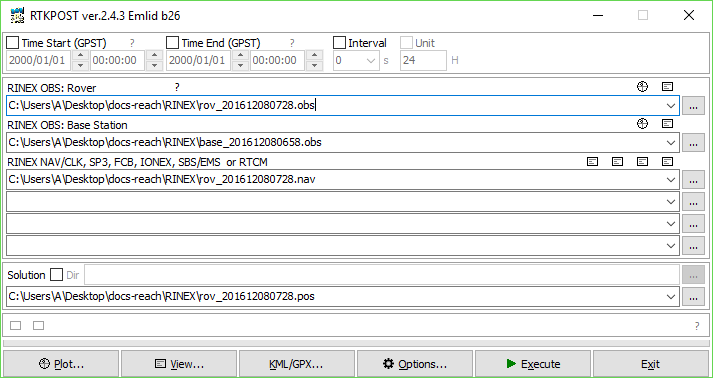
Hello, I am very new to this, I want to get an very accurate position for my Base (Manual Entry). I found a CORS site that is with in 50 miles. Looking at RTKPOST, where does the file from the CORS site go, and which one? Do I have to reformat them? The files I have are as follows: txge.log, txge.18g, txge.18n, txge.18o.
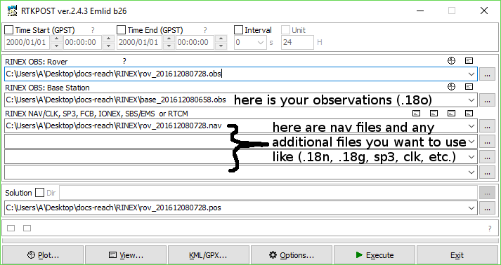
No need to change file extensions. To be able to choose them, you may need to allow the file open dialog window to look at *.* (all files)
Yes, every file you want to use that is not an observation file goes in the four extra fields. Similar to above you need to set the window to look for all files, otherwise the ones you want might not be visible.
The minimal requirements are to select your satellite systems (GPS,GLO,SBAS,QZSS, etc.) and the update frequency (5Hz, etc.), and make sure the raw log is turned ON.
Ok, I guess I am missing some key point. I want to get an accurate position for my ‘Base’ unit that I can then enter as the Base position that would be used to correct the Rover. I cannot run RTKPost with out a Rover file. Is my approach incorrect to get what I need?
Ok, I might have figured this out. The file was not unzipped as I thought is was (found that on this forum). I get the app to run and am looking at the output now. It generated two .POS files, one was about 2,835Kb and the other was 1Kb (empty). Going to collect my Base data again, and use a reference site that is closer to my position. I still may not be doing this correctly.
Well, I have read through the RTK manual for the Lib. I still need to understand how to find the best coordinates from RTKPlot output to use as my manual entry for my base unit. Any help would be appreciated.