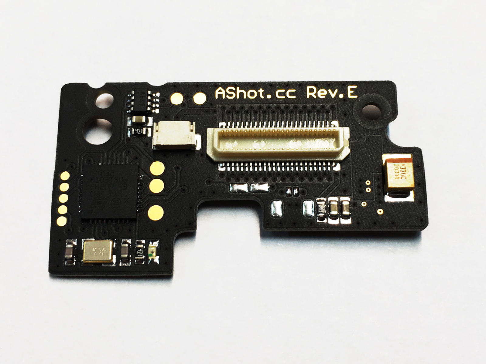
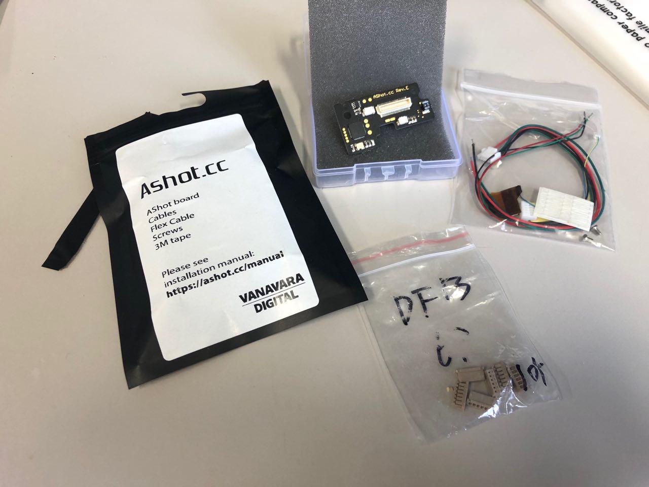
I would like to present our device - AShot.cc - Auto Shot Camera Control.
Designed specially for DJI Phantom 4 adv / pro and V2 and Reach M+.
3 features of this board:
It can make photos every 1.2 and 1.7 seconds, without missing of photos
( DJI SDK has 3-4 photos passes per 100 photos, but AShot 0 photos passes ).
It can power Reach M+ with good quality voltage +5v.
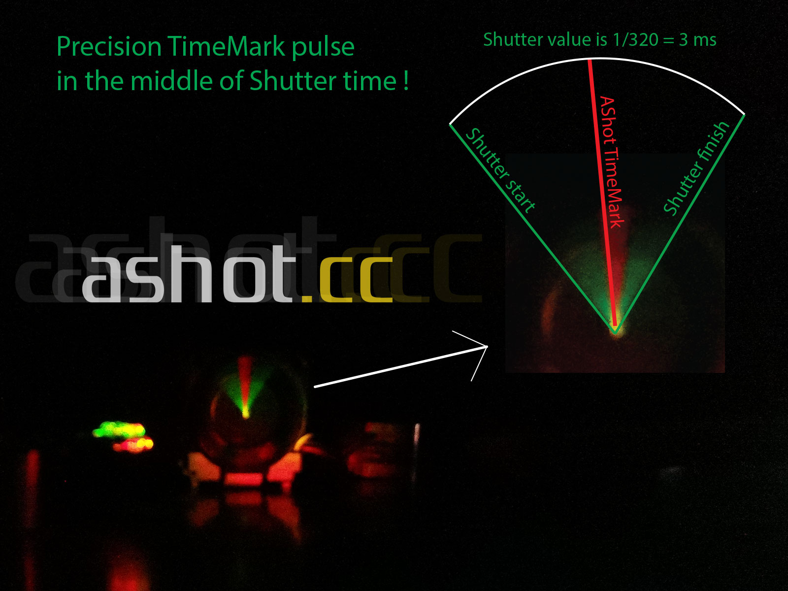
It can give to Reach M+ timemark in the middle of Shutter.
AShot controls DJI Can Bus and know info about Camera setting like as Shutter etc, and read Sony Sensor Bus to know about Shutter start and Shutter finish.
That all allows AShot to give Timemark in the middle of Shutter without delay.
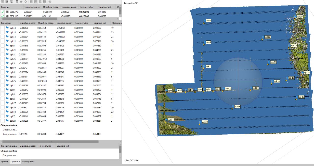
With AShot board and Reach M+ installed to DJI Ph4 pro we make survey maps with 5-6 cm plan error and 6-8 cm altitude error without GCPs.
In Russia we start to produce Teodrone.ru based on DJI Ph4 pro, AShot and Reach M+.
Our customers said the AShot and Reach M+ is the best solution for DJI Ph4 adv | pro.
The picture shows a test of the AShot, which shows that the timestamp occurs strictly in the middle of the photo exposure (Shutter).
As someone, who started previous topic about Ashot, I feel obliged to share what’s going on.
I have succesfully received my Ashot and also prepared DF13 connectors to connect it with old Emlid Reach v1(for me it was important. because new M+ does not have japanese “giteki” certification).
I am planning to install it and perform test flight after long holidays(a.k.a. Golden week and coronation holidays).
Hi.
How many Hectares can you make with your DJI Phantom 4 pro for a flight ?
Our customer did the shooting of square 350 Hectares for 3 flights !!!
He processed project without GCPs and got mistake 4 - 5 cm in the centre of project and 9 - 10 cm at the side.
Flight height: 170m
Flight speed: about 10 m/s
Specs:
DJI Phantom 4 Pro Teodrone
Emlid Reach M+
Spiral GNSS Antenna L1
AShot board for sync with Reach
That AGL is beyond limits in most countries and that flight speed is way too fast for a P4P to collect sharply. Beyond that the overlaps that would have to be used to effectively catch that amount of acreage in three batteries would not be sufficient for mapping.
I already PP’d the results and you should be careful about the accuracies you are stating. Most people that get on these forums think that we are stating accuracies based upon real grade when in actuality we are stating relativity of the map. While this is good, it does not relate to the actual site so the conformity of the point cloud and using ground control points is vital difference.
I am glad that you are very proud in your product, but I purchased one and will reveal the truth. There is no way that you can achieve less than a decimeter absolute ground accuracy without augmented GPS. Your product alone will not achieve this on a 2-3m GPS source.
I routinely use PPK without your product and stakeout accuracy is on average 5cm. I’m pretty sure you don’t understand the accuracy I am talking about so once I have the numbers we will tell.
That is making more sense, but like I said before I am getting better accuracies than that just with the M+ alone.
All you are basically doing is relieving the need to use a program such as geosetter to re-tag the photos. Your system seems more suited to tagging the images in an RTK scenario. What’s the point of doing PPK if you are tagging the photos off of the M+ alone?
At this point what does the customer have as an assurance that the images were correctly geotagged? With the current workflow we have total control over the tagging process. The use of gcps is for a specific purpose. Previously they were to control the grade shift of the survey in conflict with the barometer drop, but more importantly to relate to the local site.
Of course your grade is going to be good at the gcp, but I doubt seriously that you have actually staked out a drone survey for verification on the ground so your accuracies are not relative to it. If you did a stakeout please describe the process.