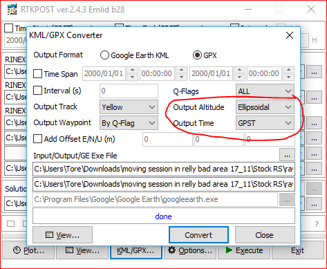
I have a project with 7,000 images +. The image locations are being captured with an m+ and then PPK processed for precise location…
Usually I import all geo information as a separate xyz file when importing the images. But I have a project where the georeferances need to be added to the image exif so it is combined…
Is there a way to achieve this with a batch process?