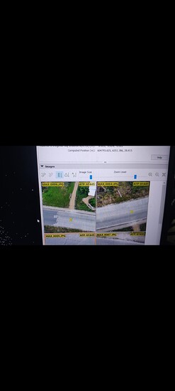
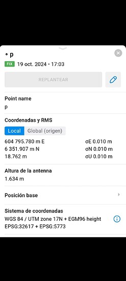
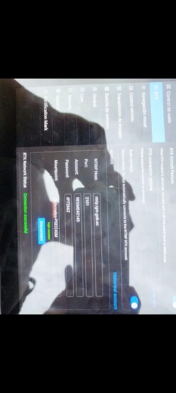
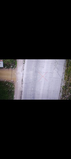
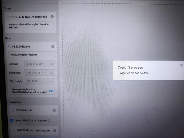
Hello I have a problem with Z coordinate, I used Autel Evo 2 pro rtk v3 om ntrip mode with a Cors Antena near to the proyect, I took a point with RS2 via ntrip at the same Cors antenna and the point is right on the Orthomosaic where it was taken, but for countors level is wrong the height
Hi @ferzambrano,
Welcome to the community. I’m not sure I understand.
The geotags are always in Ellipsoid height. Your photogrammetry software can convert it to orthometric height, so it should match your ground control point, especially since both received corrections from the same NTRIP base.
What software are you using to process your drone data?
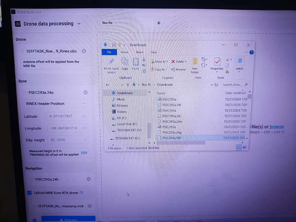
I didnt geotag those photos, It is supossed to be geotagged already on ntrip, however Im trying to geotag in Emlid Studio with the Cors Data and Autel Data but I it couldnt process
Hi @ferzambrano,
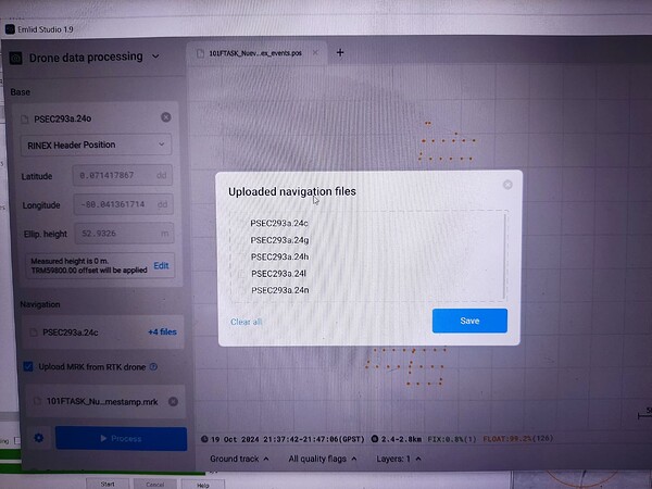
I see. These are the accepted navigation files in Emlid Studio:
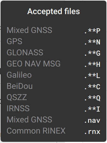
It seems like you only attached the .h file, which is not enough. Please attach all accepted navigation files to Emlid Studio and try again. Thanks!
I noticed you have a T02 file from a Trimble receiver. You can use the Trimble RINEX converter to make a set of RINEX files, including the NAV file; it will make a 24n.
Trimble’s RINEX converter is installed when you install Trimble Business Center. You will want to look in the TRIMBLE Common Files under your “Program Files” or “Program Files x86” for the exe file.
I always use "Open With, " select the check box to “Always use this app” and then navigate to the Convert to RINEX exe. Then anytime you double-click the T04 or T02 Files, they convert automatically.
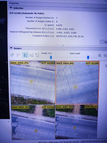
Thanks I Used those file, it process but i Dont know why is float the whole photos, and when processing the geotaggged photos with pix4d, the tie point still didnt match with de ntrip point
Could you please share the data with me? I’ll check it. Since it contains sensitive information, you can email it to me at support@emlid.com. Thanks!
Also, based on your screenshot, the accuracy of the GCP is quite good. They are almost mm-level accurate.
This topic was automatically closed 100 days after the last reply. New replies are no longer allowed.


