Originally published at: https://emlid.com/volume-measurement-total-station-vs-drone-mapping/
Dromine provides UAV services in the mining industry. The company h elps their clients to plan and optimize operations on mining sites all over Mexico. With drones, Dromine delivers accurate results much quicker comparing to the traditional ground-based surveying.
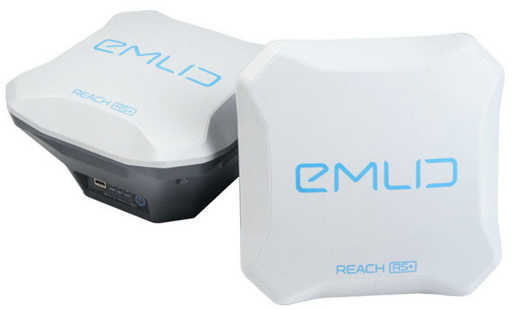
The Dromine team recently carried out a UAV-based volumetric survey to assess feldspar stock at the site. For this project, one DJI Phantom 4 and two Reach RS+ (base and rover) were utilized.
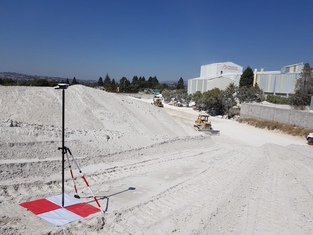
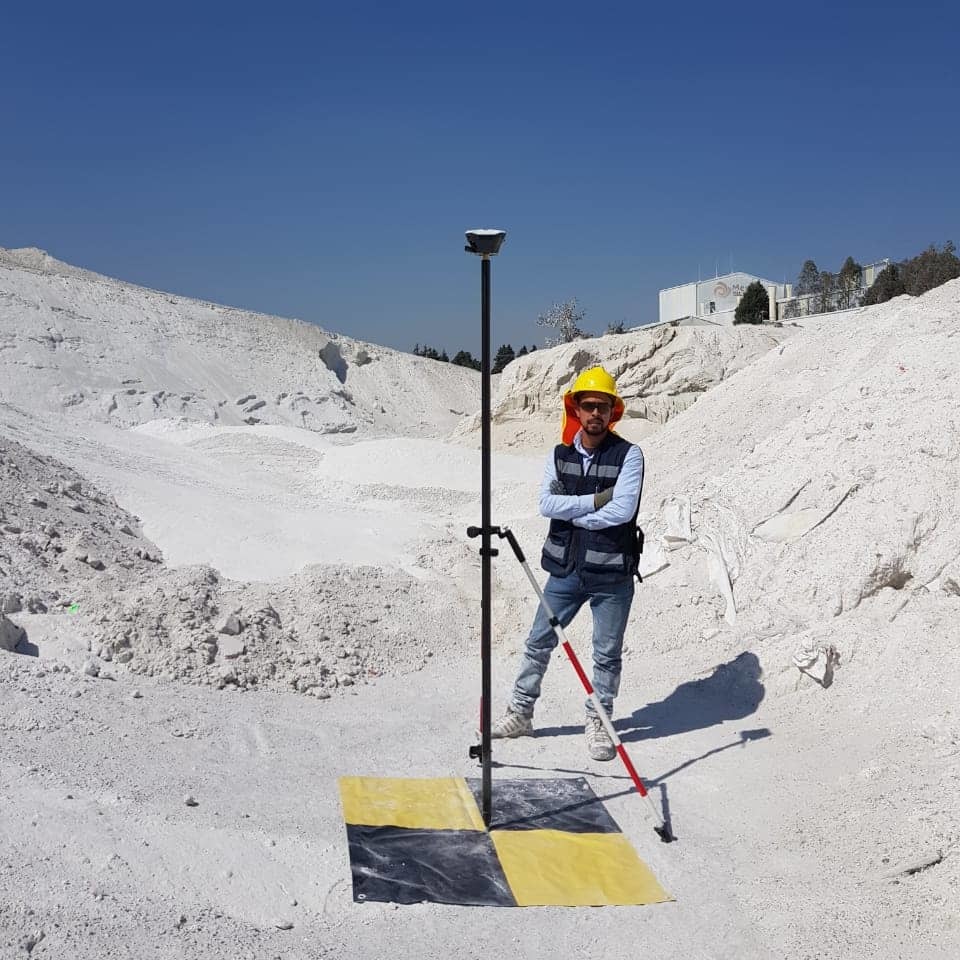
Reach RS+ rover at work
Emlid Reach RS+ was used to place ground control points (GCPs. These GCPs are later used to georeference highly precise final maps and estimate the exact amount of material in each of the stockpiles.
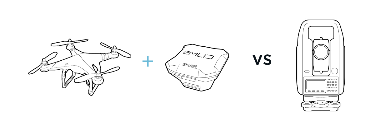
During the project, the surveyors also used a total station to demonstrate the efficiency and reliability of UAV-based survey method.
Check how Dromine experts carried out this project in the slideshow on our blog.
RS+ allowed us quickly collecting GCPs before drone mapping with Phantom 4 and helped to carry out precise volume measurements of feldspar stock. The results obtained with a drone are identical to one obtained with a total station. —Isaac Vazquez Flores, Mining Engineer at Dromine
Reach RS+ for placing GCPs
With a set of Reach RS+ communicating via built-in LoRa radio, you can set as many GCPs in RTK mode as it is required. The process is quick and does not require an Internet connection. Control points locations are recorded with ReachView app available for iOS and Android. After the fieldwork is done, you can export data to your preferred mapping software in CSV, GeoJSON, DXF or ShapeFile formats.
Two Reach RS with LoRa radio can be used for a broad range of precise applications.
For instance, Allesbeste farm used Reach RS to establish new avocado orchards in South Africa.
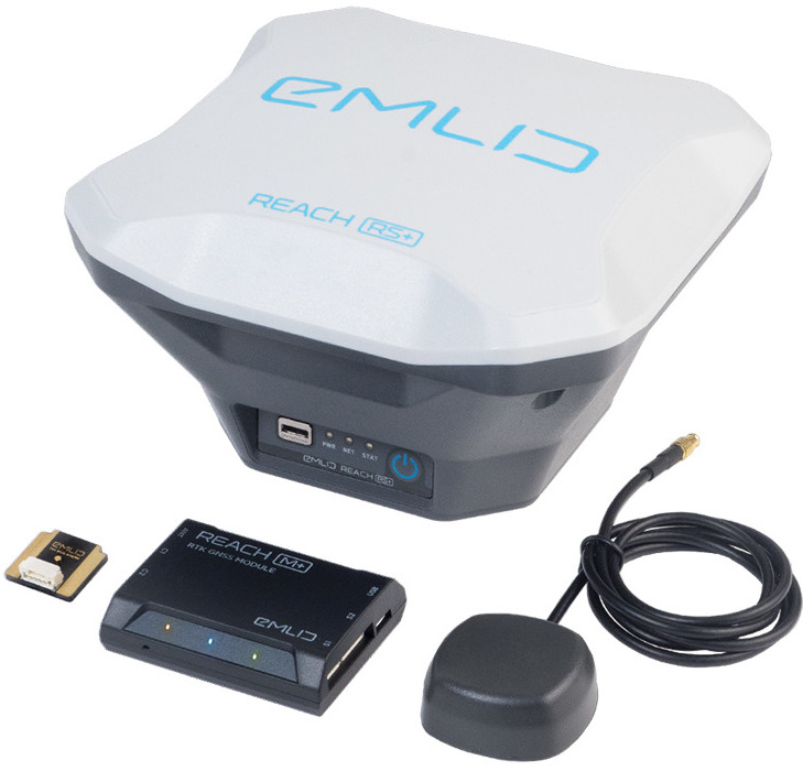
Reach UAV Mapping Kit for PPK mapping
Set up Reach M+ on a drone and geotag photos using a camera hot shoe. With the data acquired with the Reach Mapping kit, it is possible to process maps with 2cm final accuracy. One of the advantages of this method is that you can reduce the number of ground control points thus save a lot of time when mapping for large areas. Mapping Kit containing tiny Reach M+, Reach RS+ and hot-shoe adapter for a camera is available in our online shop.
Have doubts how accurate and reliable data can you obtain using PPK?
Read a study demonstrating the efficiency of agricultural PPK mapping with Reach.