I’ve tried Reach under the tree canopy, and it has produced a fix, but there are some things to consider:
-
There will be no fix if there are not enough satellites in view. (Logging for a long period of time can help while you wait for the satellite geometry to change or for the wind to push some leaves and branches out of the way for a few seconds.)
-
If the antenna receives multipath signals, then RTKLIB could be fooled into producing a fix from those reflected signals. (Adjusting RTKLIB settings could help, or some culling of the data either by visual cues in RTKPLOT or by doing further processing of the files)
-
Sometimes it is just not practical, but there is no substitute for elevating your antenna to the altitude necessary for a good sky view.
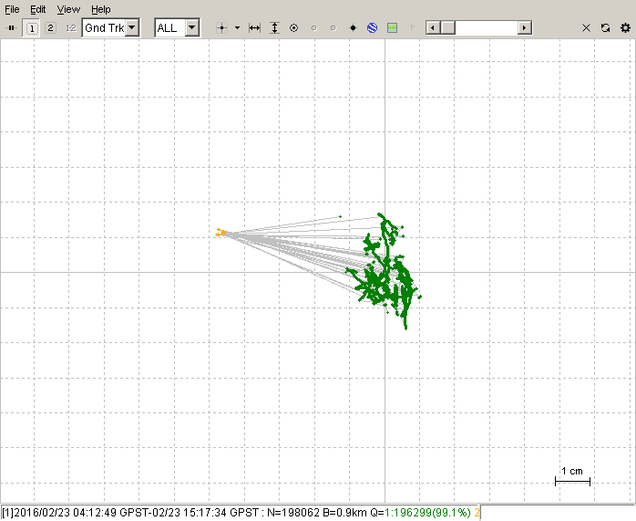
Here are some examples of the outcome when working with a blocked sky view in the trees:
The fixes are the surrounding green dots and with the yellow floats in the middle. In this picture, I wouldn’t consider any of the green fixes to be correct.
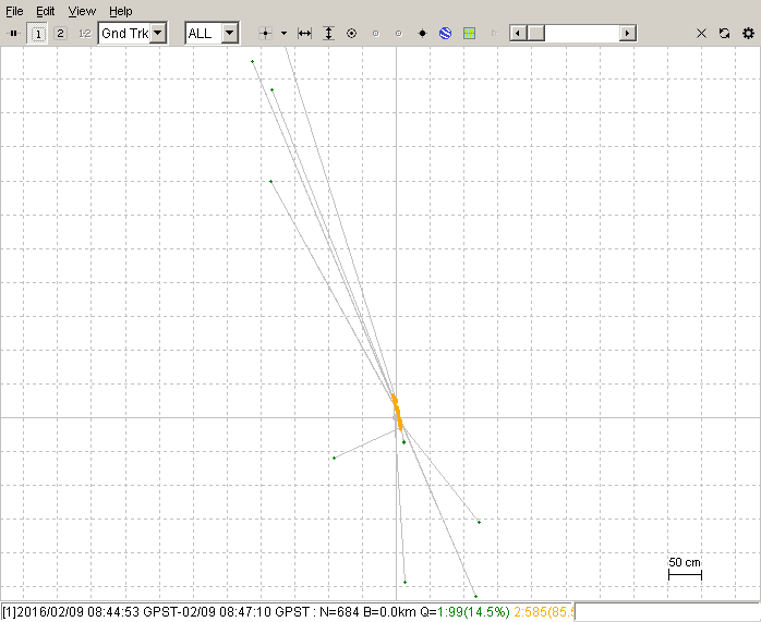
The actual position is still ambiguous, but it is better than the last one.
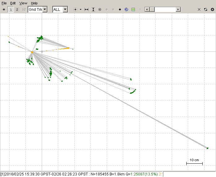
This one looks quite bad as well, but with RTKPLOT, you can zoom in and see if there is a small spot with 90% of your fixes. If you see that, then you can safely discard the outlying ones that are clearly errors. The red is single mode (no RTK), but there are yellow floats and green fixes hiding in there too.
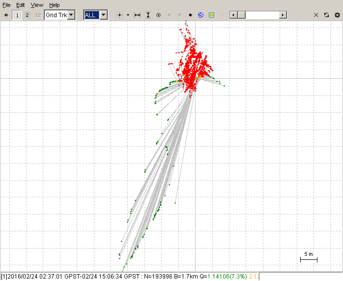
We can’t leave this off on a bad note, so here is one of the good fixes. I hope to be getting more like this. If everything is good, then it works really well and there are no fixes out of place. This one is done with the antenna raised up 9 meters to the height of the canopy. Consider that it is mounted on a flexible plastic pole held in place by strings, so the wind does move it around a little bit: