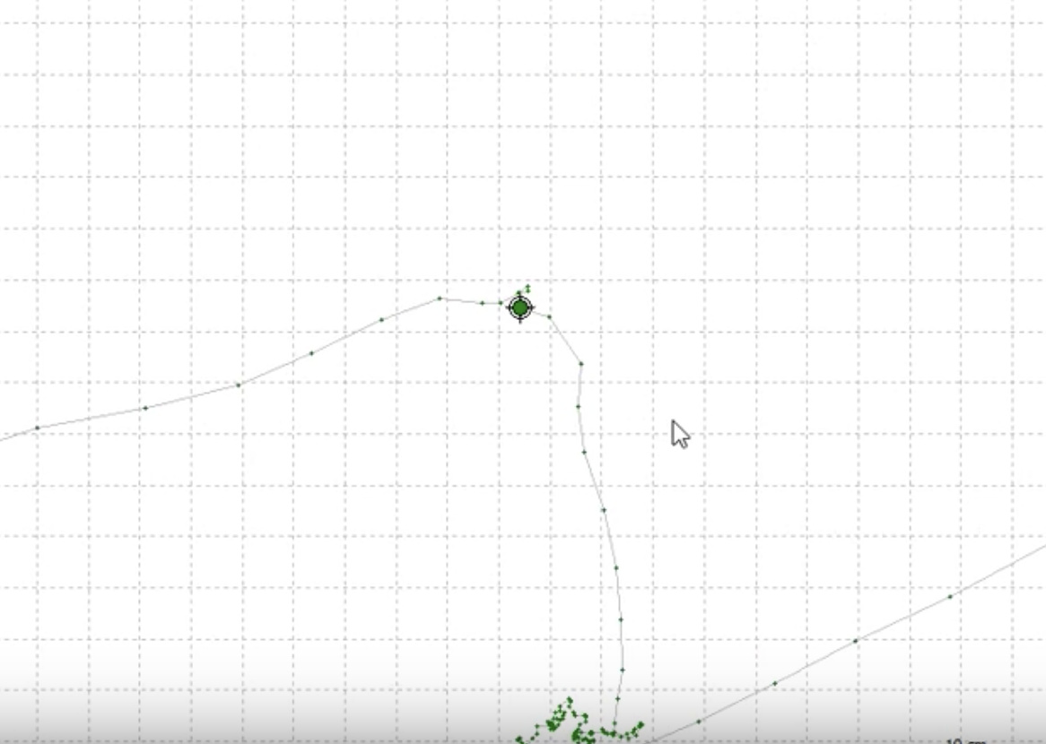
I am trying to setup auto survey - In theory I expect this to work so where I walk around my property it is taking a point data analysis every 5 seconds (in theory) Does it work like this? My main objective is to use this system to get a topo of the landscape so we can import this into a 3-D modeling software so we can have an accurate 3-D train model that we can work with for doing things such as landscape designs etc. etc.?
How would we best mount the Rover and drive around with it to be able to capture more points?
Is it better to capture points automatically as you go throughout the property or is it better to do them manually because I would assume you would want to drive around back-and-forth throughout every area while having it collect the property data points every so often?
What is the best software for post processing?