Hi @chrisrward.acct,
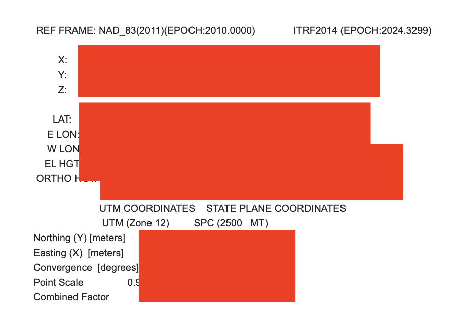
OPUS also gives results in the ITRF2014 frame. If you want to tie your results in the WGS84 datum, you can use these coordinates as the known point instead.
OPUS gives results in cartesian and geodetic CS. Use the lat, long, and El height coordinates to set your base over the known point.


