I recently conducted an Electronic Total Station survey of a few points. I then captured the same points using two Reach RS, one in base mode sending data to NTRIP Caster and another one as rover getting corrections over NTRIP. Base was set to single average (2 mins). I had enabled GPS, GLONASS and SBAS on both base and rover. I created a survey on rover and created a rule with fix for 2 mins, DOP 2 and precision 0.005. I compared the values from ETS and Reach. Pasting them here…
I am getting around 55cm difference in one point and above 20 cm for the other points.
Is there anything I can do differently to get better accuracy?
Also, I tried post-processing base and rover logs in RTKPOST using static position mode and “solution for static mode” set to single. The .pos file had nothing.
You should get much better result then this. Could you tell us more about how you set up your gear and settings used.
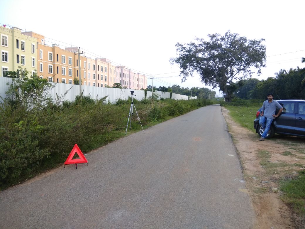
Pictures tells more the thousand words they say
Could you share raw files for one point and see if get the same data as you?
I was expecting the results to be at least a few cm within the ETS values. I have a project next, was assuming that I will use this setup to take points along a 100km corridor.
Not very sure how to go about post-processing. When I select ‘solution for static mode’ as “single” under output tab, I get nothing in the .pos file. When I select “all”, I get thousands of values. Which value do I use?
Okay, I got the problem. I wasn’t using scale factor while comparing with the Total Station values. I now have around 10cm error on 1.3 km baseline. If I wait a little longer after getting a fix, will this accuracy improve?
One thing is still unclear: why do we need post processing when we have rover getting correction data from the base. I should be able to use the points directly from the export option on the Reach RS right?
Im not sure about your setting but you should get better then 10cm relative position.
You dont need to postprocess, that is an option. You could get the data straight out from survey menu.
What setting are you using on rover and base?
If you have a stable FIX solution then there is no need for post processing, just occupy the point and use survey to collect observations (and average them) for a period of your choosing. Post processing can tighten this up by allowing you to set mask (elevation, noise ratio) to eliminate multipath, but it is not necesary IF all is working well.
UTM has a scale factor it is 0.9996 in the central meridian and goes to 1.0 halfway top the edge of the UTM zone and up to 1.0004 at the edges of the zone. The perils of trying to fit a sphere onto a cylinder.