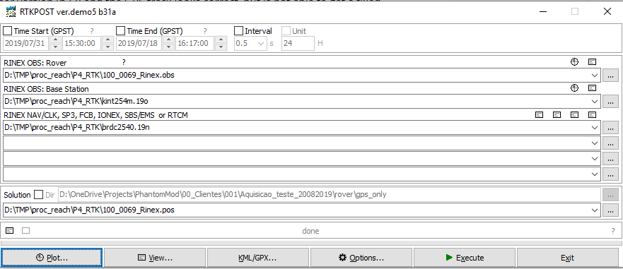
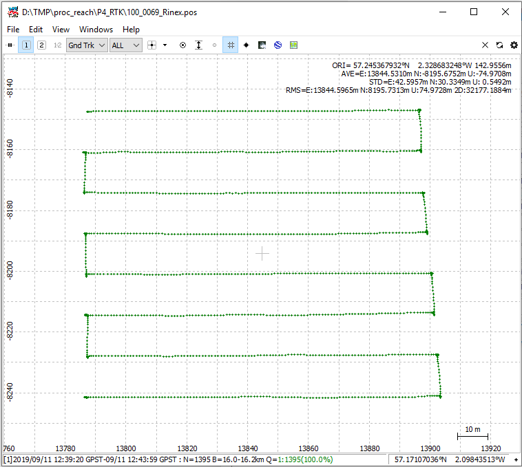
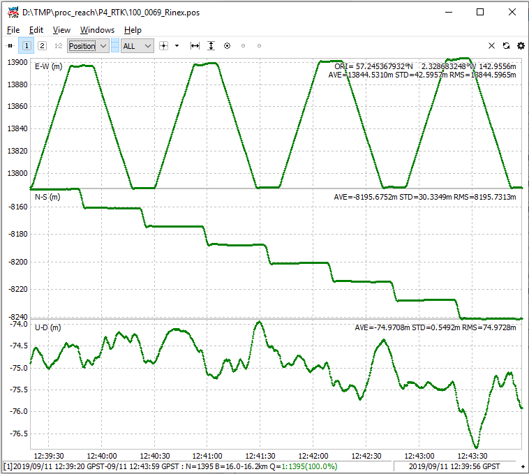
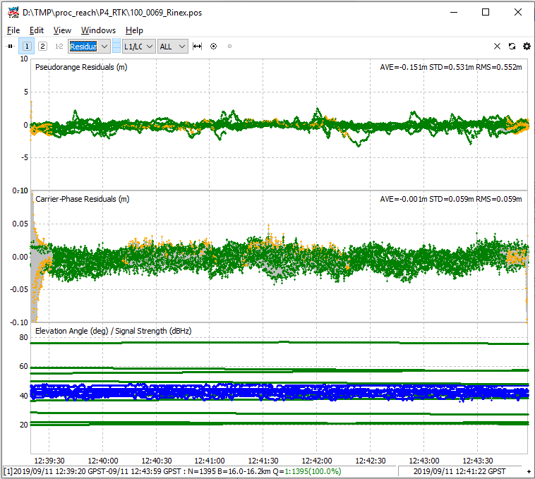
Good morning all! I am trying to assist a user on the DroneDeploy forum that is trying to PPK their P4 RTK data and is getting some really strange results in the Emlid version of RTKLIB that I have been able to reproduce. He also has used another version (b33) and the GPS track looks correct, but is not able to get a fixed condition. Please help! Here’s the history. We can continue here and I can cross-post back if we can come up with something. Thanks!
Here is a previous Emlid Community thread dealing with some of the same information, but it has been closed.
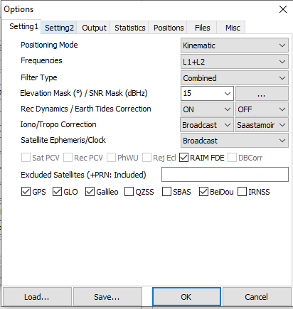
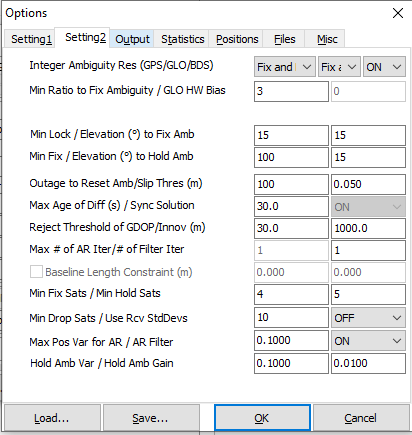
Firstly: because the initial/default parameters are different from branch to branch it seems.
Secondly: later versions can have improvements to the algorithms used for processing, I.e. the current version for the RS2 can use the E5b signal, the RS(+) version can’t.
OK, I got it, but if i would set up by myself exactly the same parameters in different versions of RTKLIB i would expect to get exactly same solution.
On the other hand bugs in program’s source code are quite common…
So far problem solved
I think it has more to do with when they were coded and what hardware was available at the time. Kind of like programs that won’t run on Windows 7… I’m still very interested in the crazy pattern we got in Emlid’s version.