


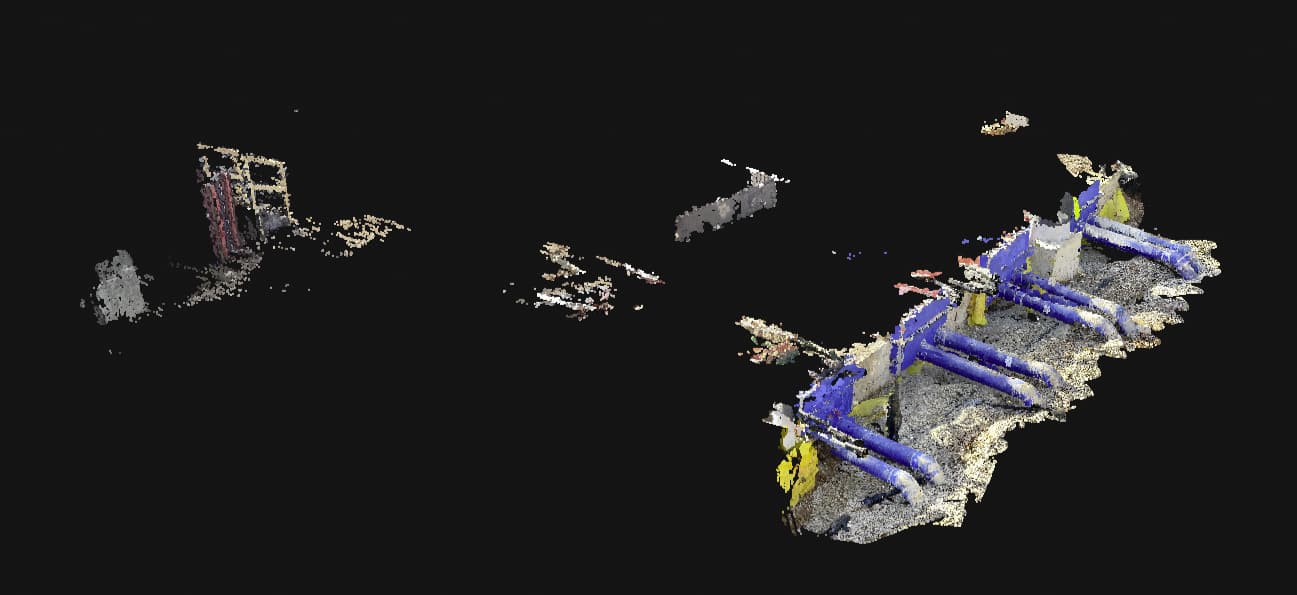
Well, Pix4D got the incompatibility issue with GEODNET and Emlid Caster solutions. I ran about 6-7 tests this morning and uploaded a couple to Pix4D Cloud.
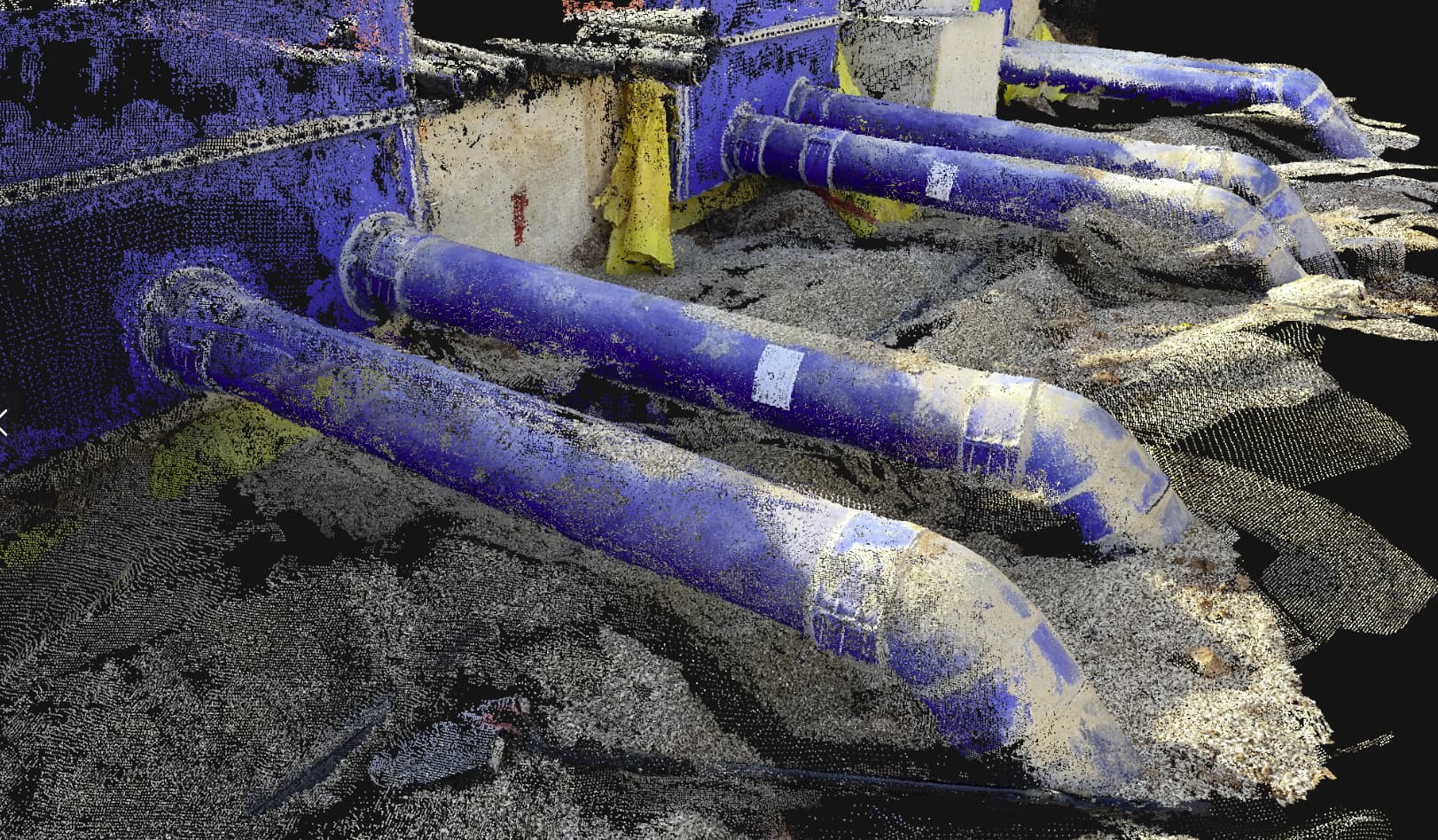
Gotta watchout for overspray… Although I loaded the images in Metashape as well and it cleans up nicely. Interesting note when you download all data and pull images into Metashape there are point confidence and depth maps files. I’ll have to dig into that later, but image alignment errors on 50 photos was 0.03-0.21ft. Not bad.
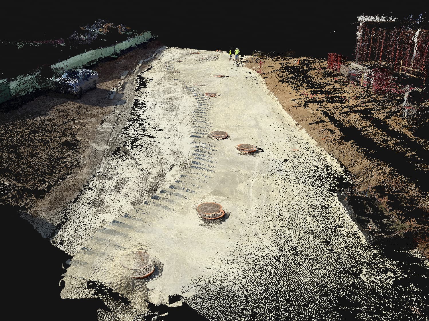
Here’s a section of road for grade check and asbuilt manholes. Note the shadowing effect on the left-center of the road. Don’t scan with the sun at your back. It actually created a double layer in one area. More to come.
Question now is how do you upload from mobile and use GCP’s…