


Hi Tatiana, today I was able to compare a measurement I made several years ago with total station and RS2, the average error was 2 cm in rough terrain and with trees. I am really very happy with version 2.22.4, both lora and ntrip. There is no difference in satellites between the rover and the base in the rechview. There are no false fixes !!!. What if it is not practical is the stakeout, instead of a course you have to have another distance, on rough terrain it is impossible to hit the target. What I had told Dimitriy about the loss of connection with rechview, today in 6 hours of work I lost it twice with Samsung A7 and reconnected, which does not happen with Xiaomi, you have to close rechview and reconnect. Congratulations


I’d be careful of using any GNSS receiver in high multi-path areas as you show, unless you have someway of verifying. Either by multiple occupations at different times of day, closed loop terrestrial traverse or closed loop via post processing. It’ll come back and bite you if you’re not verifying your occupations… Just an old land surveyor speaking from experience.
2 Likes
I have GNSS experience, points staked several years ago with total station were verified. I did a test in extreme conditions with RS2. I also did PPK postprocess validating rtk data
5 Likes
That’s what I like to hear ! Many inexperienced users trust the technology too much without checking their own measurements. Keep verifying !! My motto has always been “prove me wrong” !! 
2 Likes
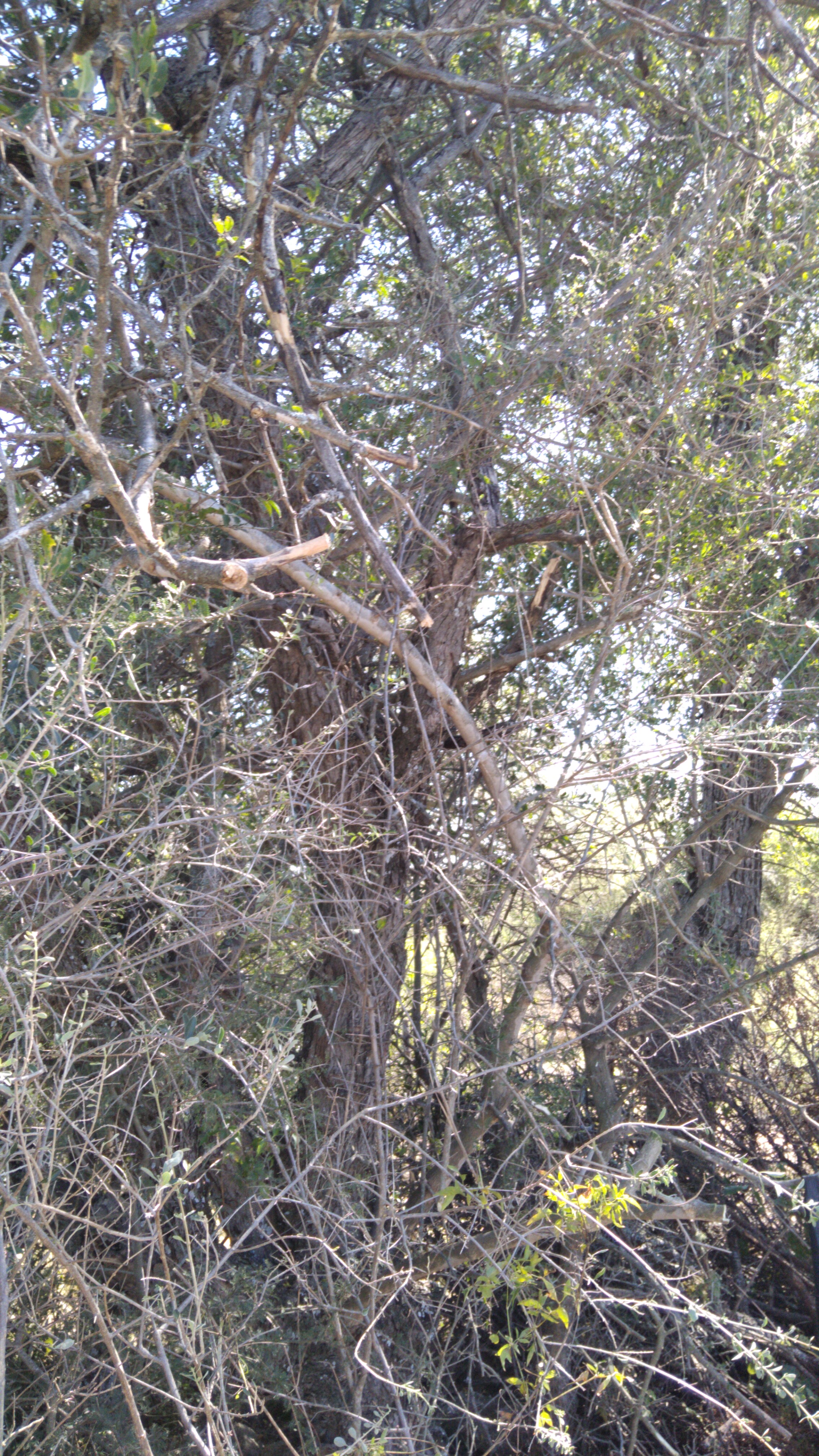
Tell us more about these tests and the conditions under which you place your RS. Here we have very poor working conditions for GNSS.
Enough vegetation and rugged relief.
1 Like
So is ! they think that everything is solved, abundance of observations and thus ensure accuracy
1 Like
Two words I’ve always lived by in my 40 years as a registered land surveyor: “closed loops”
2 Likes
Yes … I’m doing some tests with RS2 too. I use an RS2 base too, always very close. Baselines less than 1km. Under dense vegetation, I’m keeping trackings of 30 ‘, 40’ or 1hr, depending on the situation. But I’m still scared in post processing on Rtkpost.
1 Like
luckily we come from an era when gps technology was not madly available. He even used theodolite and tape and with much luck an Eldi 2 ha. My first total station Pentax PCS 215
1 Like


there I don’t risk with GNSS !!! for professional work
1 Like
See the commercial PP software I show in this thread. Pretty reasonable in cost and Mr Silver has excellent video tutorials on the software. As mentioned before in other threads, we have used various PP software in our firm. The latest is “Justin” from JAVAD for our Javad machines. RTKLIB is good software that was developed by a well known GPS guru genius, but it lacks some features that’s needed in a professional environment. I still use it occasionally, just to keep my brain active !
That looks to be a Russian theodolite maybe ? I was brought up in this profession by my dad using transit and tape… that itself is probably a lost art now
I’ve used several brands of GNSS equipment in my professional lifetime, but the EMLID M2 just facinates me in the size and form factor. I found the EMLID website about two years ago and could see that dual frequency was in the works. When I saw the M2, I had to have one. It’s a great little base receiver for short baselines. I’ve ordered another for short baseline loop closures for our other machines. You can’t always depend on RTK… if you’ve got three receivers, you got a closed loop !
2 Likes
Hi Luis,
Thanks for sharing this test! It’s always great to know that the things we release in new versions improve our users’ workflow.
As for improving stakeout and difficulties with connection, it’s the things we’re working on, too. Your comments on Reach’s performance are very useful for us.
1 Like
Every single time we setup a new control network! Everyone in this arena including those setting GCP’s for UAV mapping should know how to run an auto-level loop…
1 Like
This topic was automatically closed 100 days after the last reply. New replies are no longer allowed.