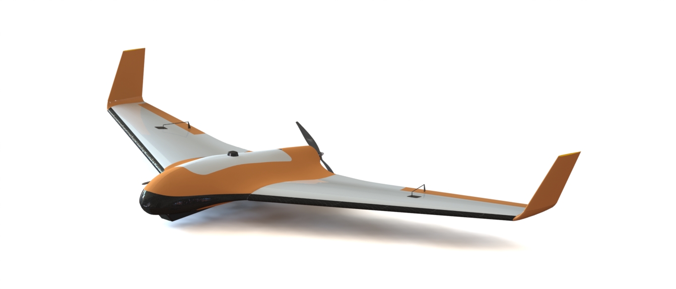
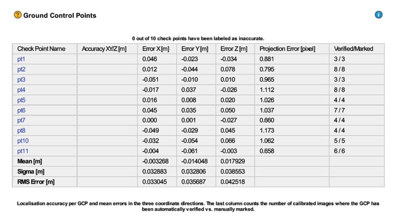
TareqhUAV a manufacturer of professional fixedwing aerial mapping systems performed integration of Emlid Reach RTK to enable making precision maps without use of ground control points. The system was benchmarked by comparing direct georeferenced model with 11 checkpoints , used solely for error detection purposes. Achieved lateral RMS error is 3cm according to the Pix4D quality report.
Information about acquired data:
- Camera : CANON EOS M with 22 mm lens
- Average GSD : 1.9 cm
- Area Covered : 26 ha
- Altitude : 102 m
- Number of photos: 209
- Base and Rover : EMLID REACH
Additional data (images,pix4d quality report,…):
http://tareqhuav.com/en/datasets/
Tareqh PPK