


Hi everyone. I am a UK commercial archaeologist looking to purchase everything for my company for both ground mapping and drone mapping. I need cm accuracy on horizontal and 1-2cm on vertical if possible. Time is limited so apologies for the very general questions.
Can anyone tell me everything I need to survey ground points, plus make a drone capable of +/- 2cm accuracy mapping, i.e. 2xreach units, aerials, etc?
Is there a monthly subscription to radio signals etc needed, or monthly software fees for processing of images?
1 Like
Let’s start with your budget? ![]()
Also,
Do you mean the ground sampling distance here ?
What are your typical areas of operation ? Urban? Forest? Wide open farm land ? Something else ?
Depending on your need for either relative or absolute precision, you might need a subscription to an NTRIP service.
Yes, relative or absolute - you may not even know the answer to that so please spend a little bit of time describing your use case. Like @wizprod mentioned, what will be the primary environments. Also, start us off with two primary tasks that you think you want to accomplish. Mentioning that you are an archaeologist leads me to believe that you might be needing some type of thermal capabilities.
Last but not least, is the drone going to be the primary tool, or is it another tool that is to be integrated within
an existing workflow?
Hello Christian and Michael,
Sorry for the lack of details, a new area for me. Absolute accuracy which could be measured in metric units is ideal. Yes, was looking for ideally 2cm accuracy, or whatever is on the top end of things for rtk drone use. I was originally looking at a Phantom 4 rtk with dji base station, but was thinking I could do similar with emlid products, plus I was wanting to possibly have the ability to remove the gnss receiver from a drone and use it as a ground-based rover to shoot in specific points, such as a trimble or leica unit.
In archaeology, we are ok with a few cm error (I’d say up to five cm) in plan (i.e. looking straight down). We hand-measure and draw vertical sections which are generally quite small in area, sometimes under 100 cm2. We are simply plotting postholes, pits, roundhouse foundations, etc or the ruins of old buildings etc if they are still standing. Doing this off the standard 50m tape as a baseline or triangulating etc by hand with 50m tapes in archaeology easily induces all sorts of small errors, though we try to shoot in key points with a total station, etc to located everything in space. In other words, if it is not incredibly accurate, it’s ok, because are are not building motorways or bridges, but under 5cm, preferrably 2cm absolute accuracy what I would consider wonderful. My budget just depends on what the increases in price are for accuracy, a 1cm increase in accuracy for twice the money would not be attractive for example.
I almost always work in wide open fields that have been stripped of topsoil, so are relatively free of any obstacles, though sometimes we are in wooded areas, but then we just revert to the old manual measurement methods with tapes. Which I dislike greatly! Haha.
The drone would ideally be the primary tool, though the ability to mount the receiver on a staff as a rover to the base unit would be excellent, if that is even possible.
As you may have guessed, I’m not a surveyor, but we know just enough about survey in archaeology to attempt a go at learning all of this, plus I’m getting too old to dig and want to branch out to other key skill areas.
I hope this helps clarify things. If I could avoid a subscription that would be great. I am led to believe I might get 5cm absolute accuracy without. We don’t work with big budgets in archaeology most times.
Many thanks!
PS not sure exactly what is meant on the ground sampling distance, I could easily hover 4-5m above a target and take a series of overlapping photos for max resolution if that is what I think it means. Most excavations I do are under one hectare.
Oh and no thermal capabilities, we are just essentially measuring dirt and rocks 
Thanks for the great detail, I think the workflow we use in construction might very well for you. The mention on thermal was because we use it to locate suspected cave and groundwater locations on occasion before we start a project.
Anyhow, I think a drone and rover package would work great for you. There are two directions you could go. Get started or jump into the whole solution.
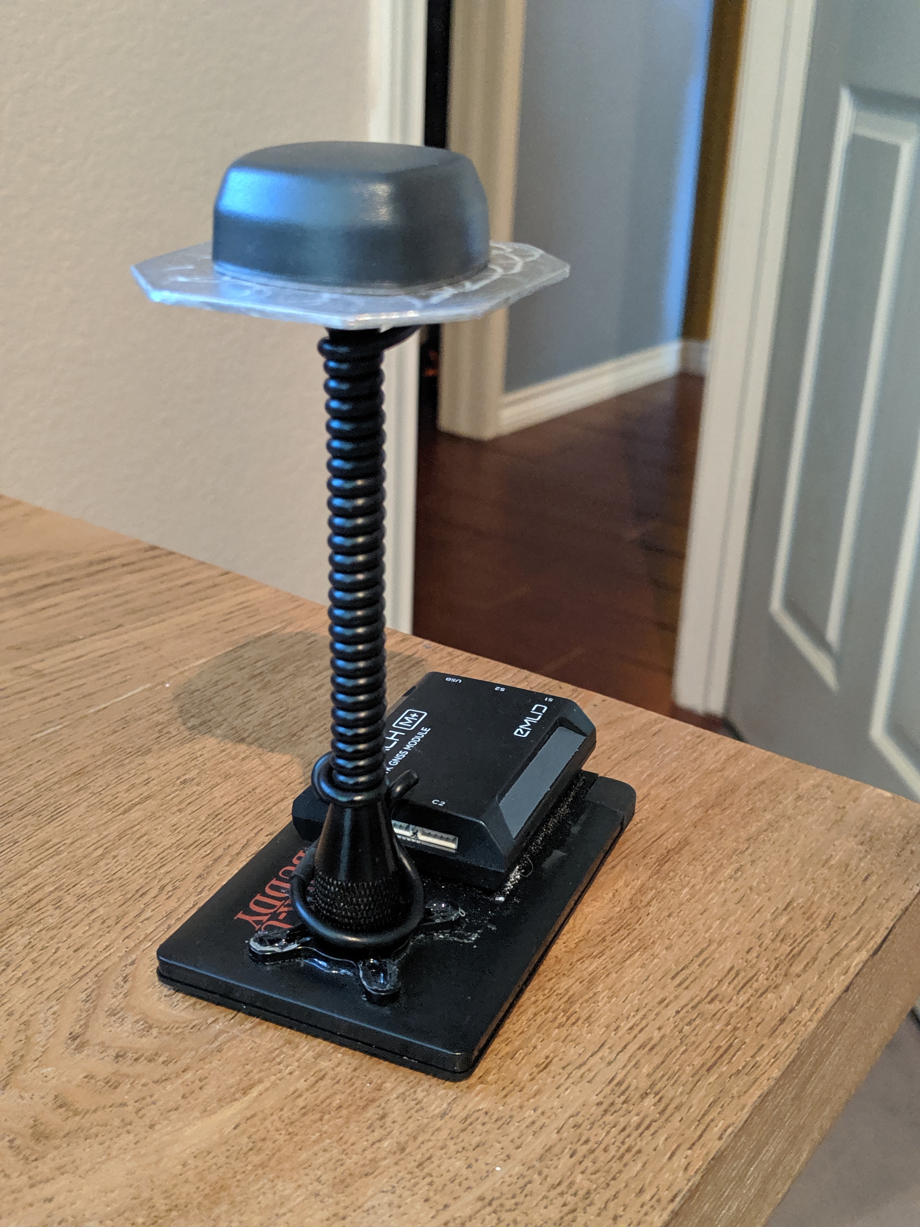
Stock P4 Pro Drone w/ Emlid Reach M+, Tallysman antenna, and a Reach RS+ Receiver
Use the RS+ as a base for the drone and then use the M+ as a rover;
Or use the M+ as a base for the RS+
One order may be better than the other… For this you will need to PPK.
If you get a LoRa antenna for the M+ then you can also RTK the RS+, but I personally don’t recommend running RTK on the drone. It may work for you if you are in close proximity, small areas?
You could add an RS+ dedicated base so that two people could use the systems at the same time.
Of course you could do all the above with RS2 receivers if you have a higher budget. The RS2’s are about 2-3 times the cost of the RS+, but are only 20-30% of the big brands. A great deal!
1 Like
Just get (2) RS+ and a M+ (get LoRa antenna option for the M+ too) if budget low. i wouldnt skimp on only 1 RS+, you’ll appreciate having the extr as capability when you really wished you had it.
Or if budget justifies (2) RS2 rather the (2) RS+, GET THEM!
1 Like
I am going to look into the drone portion also. Seems every one uses the tried and true Phantom 4 Pro.
Is there anything on the horizon or now that would be even better to consider to use with the M+? Is there a P5 coming out soon (I guess rumors so far since not making P4 anymore)? Mavic 2 or Air or Pro?
Is the cameras that come with any of these fine to use for drone mapping or is a GoPro a must?
This would be an important factor. $$$
Can this just be done using your own high powered pc versus monthly / yearly $$$ cost? I would assume if there was a need for a huge project with larger than usual images etc, then the pay cloud computing service would be an option.
Pix4d? DroneDeploy? 3DF ZEPHYR? Agisoft Metashape?
I think most people use the Phantom 4 Pro because it is like you said, tried-and-true. Maybe more importantly though is that the camera is simply better than anything else out there that’s not $5,000. I don’t even have the V2, and after the last three months I’m glad because I have had several peers in my area struggling to find parts for the V2. The Maverick series all use rolling shutters which are not particularly good for mapping.
As for a new Phantom model, it’s not looking like it at this point. I just hope that they don’t retire rich in favor of the Mavics. That would leave a sad gap in a medium sized platform space.
1 Like
Yes, you can buy Pix4d for a one-time cost of about $5,000. Agisoft PhotoScan is very good for $3500.
We use DroneDeploy at our company so it really depends upon what you were needs are. I chose a solution that consolidated all the aspects of drone mapping, but kept the interface clean and simple so that it was intuitive for my end users.
1 Like
Hi @LDR2020,
There are 2 workflows I can suggest:
-
You can use 2 Reach RS+ units for placing GCPs in RTK.
-
You can integrate Reach M+ with a camera for saving time marks. Reach UAV mapping kit should be great for this workflow. Please note that a camera needs to provide access to hot shoe for this kind of integration. This workflow requires recording raw data logs on both base and rover for post-processing.
In both cases, as you require absolute accuracy, you should place the base over a known point. If there are no geodetic points nearby, you can establish your own by getting corrections from NTRIP, for example. You can read more about ways to set the base here.
Reach receivers come with ReachView software, you don’t need to pay for it additionally. We also provide our freely available version of RTKLib for post-processing.
This is where it will “get ya”!
If you use GCP’s you don’t need a known point for the base. I can put my base anywhere and all it it doing is logging. I do put a nail in case I have to come back, but I really don’t have to. Tagging the GCP’s during processing puts the map on the local coordinate system.
1 Like
This video may help for Pix4d image processing:
Agisoft Metashape may have a free option also.
1 Like
Pix4D Discovery does not produce contours, DSM’s, DTM’s or Orthomosaics which is probably the most commonly used output.
1 Like
Thanks @michaelL for the FREE drawbacks. Threw it out there depending on what maybe can get by with depending on budget.
Thank you again, you are one the most knowledgeable people here! (And a US registerred surveyor to boot! Which is where it counts!) Hope you were provided a RS2 like the other experts here! ; )
1 Like
Haha. no RS2 yet. I guess I am on backorder until July or August now.
For free orthomosaics, use Microsoft ICE. You will need sufficient hard drive space and it will take a little while (just like any other processing), but the ortho will not be georeferenced. A good way to get a free map though. There are several lower cost or pay per use options out there if you want to spend the time looking and reviewing.
1 Like