


Hi everyone!
If you need accurate terrain for your cut and fill job, check out the new Surface tool in Emlid Flow. No need for third-party apps anymore—handle excavation, grading, terracing, and other earthwork tasks in Emlid Flow.
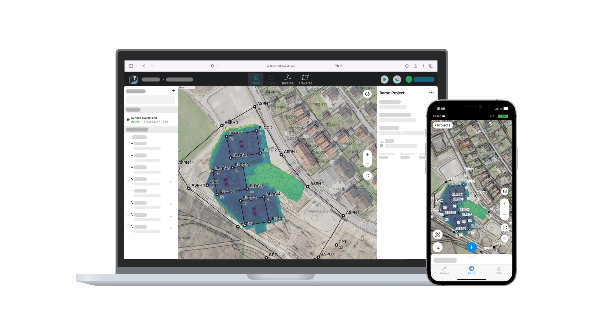
Simply upload your digital terrain model in LandXML format with Emlid Flow 360 and stake out directly in Emlid Flow. As you stake out lines and points over the DTM, you can simultaneously view cut/fill values from your current position to the surface and to the elevation of a point or line.
Now you can even configure offsets for DTM! To set a temporary vertical offset, enter the desired value (up or down) in the survey settings. This feature allows you to work with one DTM file at different stages of a project.
The Surface tool is available with the Survey Plan. Explore it with the free trial.
Explore the detailed stakeout workflow in our guide.