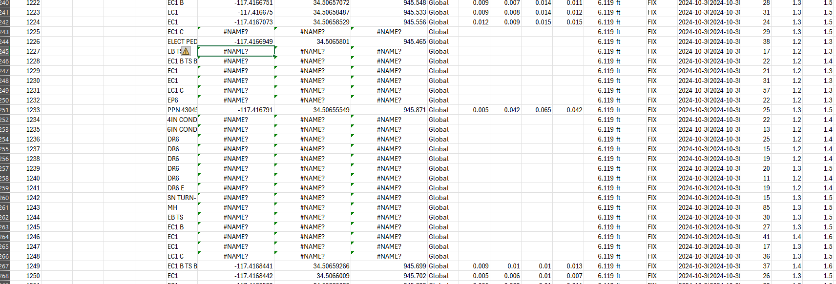
I have a good survey that had all fixes, and ran it through Stop and Go to get a few shots that were out of radio range. A bunch of the good shots on the original CSV file were dropped on the adjusted CSV file with coordinates coming out as “-nan” shown in Excel as “#NAME?”. Not a big deal for this job, but a concern nonetheless.
For the update on this thread. After checking the data, the Float option is not checked.
This way, the point that has Float solution on the .pos file resulted with -nan value: